Image Gallery: Geospatial Analytics Ph.D. Student Course Projects Shine
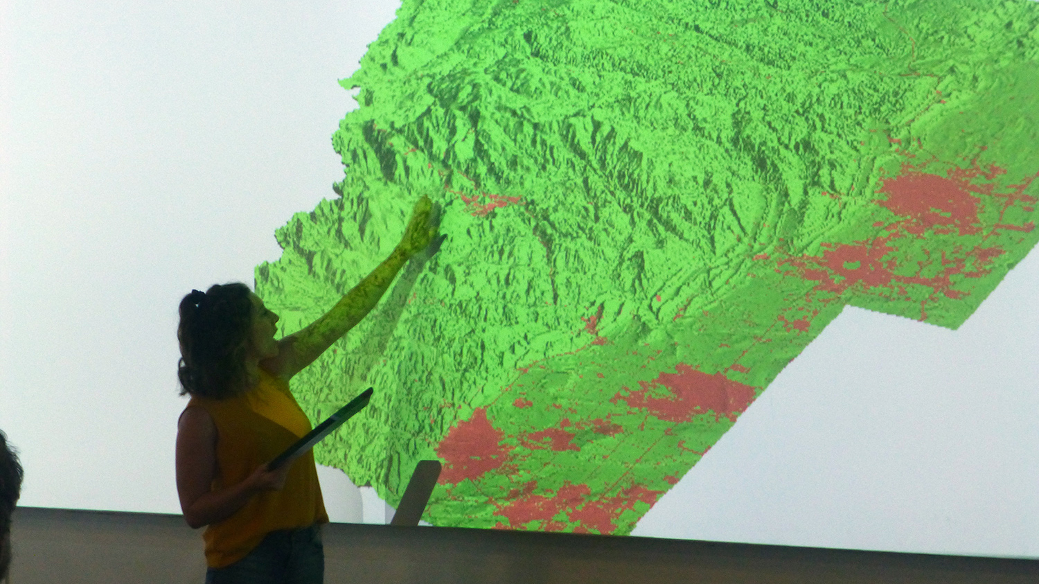
On April 25 at James B. Hunt Jr. Library on Centennial Campus, the Center for Geospatial Analytics’ first cohort of Geospatial Analytics doctoral students marked the last week of classes with a visualization showcase in the library’s Teaching and Visualization Lab.
Their presentations were the culmination of individual class projects in “Geospatial Computation and Simulation,” a required course in the Geospatial Analytics doctoral program. Taught by Helena Mitasova (the center’s associate director of geovisualization and professor in the Department of Marine, Earth and Atmospheric Sciences), this course covers the physical, biological and social processes that drive dynamics of landscape change and delves into a wide range of simulations used in data modeling.
Check out the presentation photos in the gallery (all courtesy of Professor Mitasova) and project descriptions below to find out what our students have been up to!
- Megan Coffer: Rethinking the Florida bloom season: an investigation into cold-season cyanobacterial blooms
- Umesh Gupta: High-performance interactive visual analytics with ship traffic Automatic Identification System (AIS) data
- Byron Ifediora: Recovering from Florence: Post-hurricane recovery assessment based on behavior models, socio-economic conditions and demographics
- Nicole Inglis: Spatially explicit urban-growth modeling in northern Colorado’s dynamic [Wildland-Urban Interface] WUI system
- Kimia Karimi: Spatio-temporal optimization of water quality monitoring networks of reservoirs uing geostatistical techniques and a numerical model
- Mandy Liesch: Visualization of complex subterranean soil horizonation through splining
- Zekun Lin: Simulating population growth and urbanization patterns under the impacts of sea level rise at Wilmington, NC
- Venkata Matli: Improvement of geostatistical estimates of Gulf hypoxia metrics using additional covariates
- Garrett Millar: Humans, environment and emotions: mapping cyclists’ physiological responses to inform urban planning
- Kellyn Montgomery: Cut flower imports simulation for adaptive pest inspection strategies
- Shannon Ricci: Mapping underwater vessel noise propagation to assess acoustic pollution impact on natural soundscapes within the Florida Keys National Marine Sanctuary
- Vishnu Mahesh Vivek Nanda: Solar potential analysis of parking lots and roads in Raleigh
- Ruixue Wang: Mapping walkability using social media data and GSV imagery
- Corey White: Impervious areas classification and change detection, surface runoff modeling for TomorrowNow
- Categories: