Changing Trends in Landslide Susceptibility in the Central Highlands of Vietnam

Editor’s note: Each semester, students in the Geospatial Analytics Ph.D. program can apply for a Geospatial Analytics Travel Award that supports research travel or presentations at conferences. The following is a guest post by travel award winner Raja Das as part of the Student Travel series.
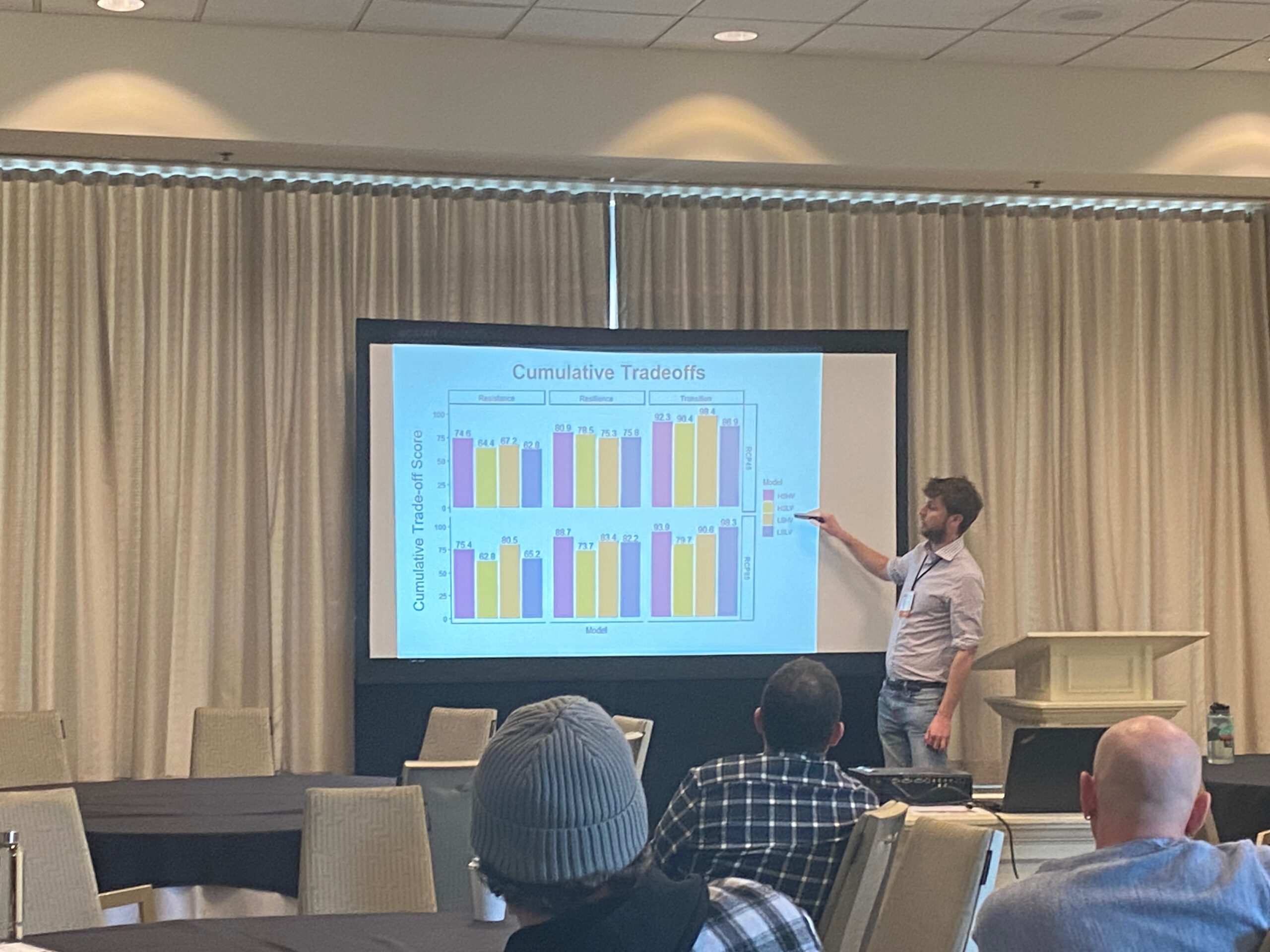
I had a great opportunity last year to attend and present my research at the American Geophysical Union (AGU) Fall Meeting 2022 held in Chicago, IL. At AGU, I presented my work on understanding the spatio-temporal dynamics of landslide susceptibility in the Central Highlands of Vietnam. I thank the Center for Geospatial Analytics for supporting my visit through awarding me the student travel grant.
Landslide is a major geohazard that for some reason has failed to draw significant attention in the global community, considering it accounted for 4.9% of fatalities among all natural disaster events between 1990 and 2015 according to International Disaster Database (EM-DAT). However, some recent studies have revealed that the actual fatalities due to landslides are somewhere between 331% to 430% higher than recorded in the database. So, the question is, “What’s the reason for this underreporting?” One of the potential explanations would be that since landslides occur as a secondary event associated with primary hazards like floods, earthquakes or storms, their impacts are often overlooked until they cause significant damages and fatalities.
Vietnam is one of the worst landslide-affected countries in Southeast Asia, where catastrophic landslides are largely triggered by extreme climatic events associated with typhoons. My study area is located in the Central Highlands of Vietnam, where three catastrophic typhoons, namely Ketsana, Haiyan and Molave, hit in the years 2009, 2014 and 2020, respectively. These typhoons initiated thousands of landslides and concurrent flooding that caused billions of dollars of property damage and hundreds of deaths. I conducted landslide mapping of these three typhoon events using high-resolution RapidEye (5m/pixel) and PlanetScope (3m/pixel) data and developed complete landslide inventories that were not available before. I mapped 13,615 (total area of 52.59 sq. km), 1,370 (total area of 1.42 sq. km) and 14,825 (total area of 26.11 sq. km) landslides for typhoons Ketsana, Haiyan and Molave, respectively. My next research objective was to identify where future landslides might occur, i.e., delineate the spatial zones that are susceptible to landslides. To answer this question, I developed landslide susceptibility models using the Random Forest machine learning algorithm for the years 2009, 2014 and 2020 corresponding to typhoons Ketsana, Haiyan and Molave. The analyses allow for estimating the changes in landslide susceptibility on a spatial as well as temporal scale.
My initial finding shows a rapid increase in the landslide susceptibility across the study area except for the southern part, for which the landslide susceptibility remained the same throughout the study period. Further, I found elevation and rainfall to be the two most important factors affecting where landslides occur in the study area. With increasing population, pressure to build housing and infrastructural facilities in the marginal environment susceptible to landslides would also increase, which would eventually elevate the risk due to landslides. I received some productive feedback and suggestions from various scholars on my work at AGU, which indeed was valuable to me for further improving some of my current understanding and future direction of the research.
- Categories:


