Congratulations to Our December Graduates!

At December graduation, NC State awarded two doctorates, twelve professional master’s degrees, and twenty-six graduate certificates to members of the Center for Geospatial Analytics community. Congratulations to all of our students on their success!
Doctorates:

Brian Pickard; Forestry and Environmental Resources; advised by Ross Meentemeyer
Analyzing error in land-change models and its role in spatio-temporal simulations of landscape change.

Charlynne Smith; Parks, Recreation, and Tourism Management; advised by Erin Seekamp and Yu-Fai Leung
Adoption and implementation of participatory GIS technologies in resource management networks: a study of the U.S. National Trails System.
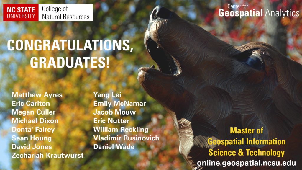
Master of Geospatial Information Science and Technology
The MGIST program equips students with the knowledge and tools to become geospatial professionals through a unique curriculum that leverages NC State’s strengths in computational and data sciences and interdisciplinary training, in combination with professional skills development. The degree was designed to be completed entirely online, allowing flexibility for both students just entering the work force and those already established. Learn more about this semester’s capstone service learning projects.
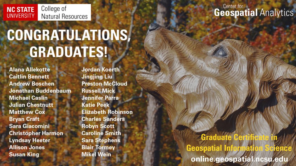
Graduate Certificate in Geospatial Information Science
The graduate certificate provides students with a graduate level academic credential in advanced GIS applications. This program is designed for students who wish to establish themselves in GIS practice, enhance current skill sets, or are not yet ready to commit to a full graduate program. The certificate can be completed entirely online and is also available to current NC State students enrolled in a non-GIS graduate degree.
- Categories: