New IARPA-Funded Research Will Improve Accuracy and Efficiency of Analyzing Geospatial Imagery Across Large Scales
North Carolina State University is one of seven academic institutions and three private companies collaborating on a new contract awarded to Accenture Federal Services by Intelligence Advanced Research Projects Activity (IARPA). The project will use artificial intelligence and advanced machine learning to significantly reduce the time and cost of analyzing large volumes of geospatial imagery, as part of IARPA’s Space-based Machine Automated Recognition Techniques (SMART) program.
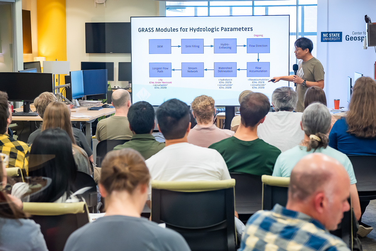
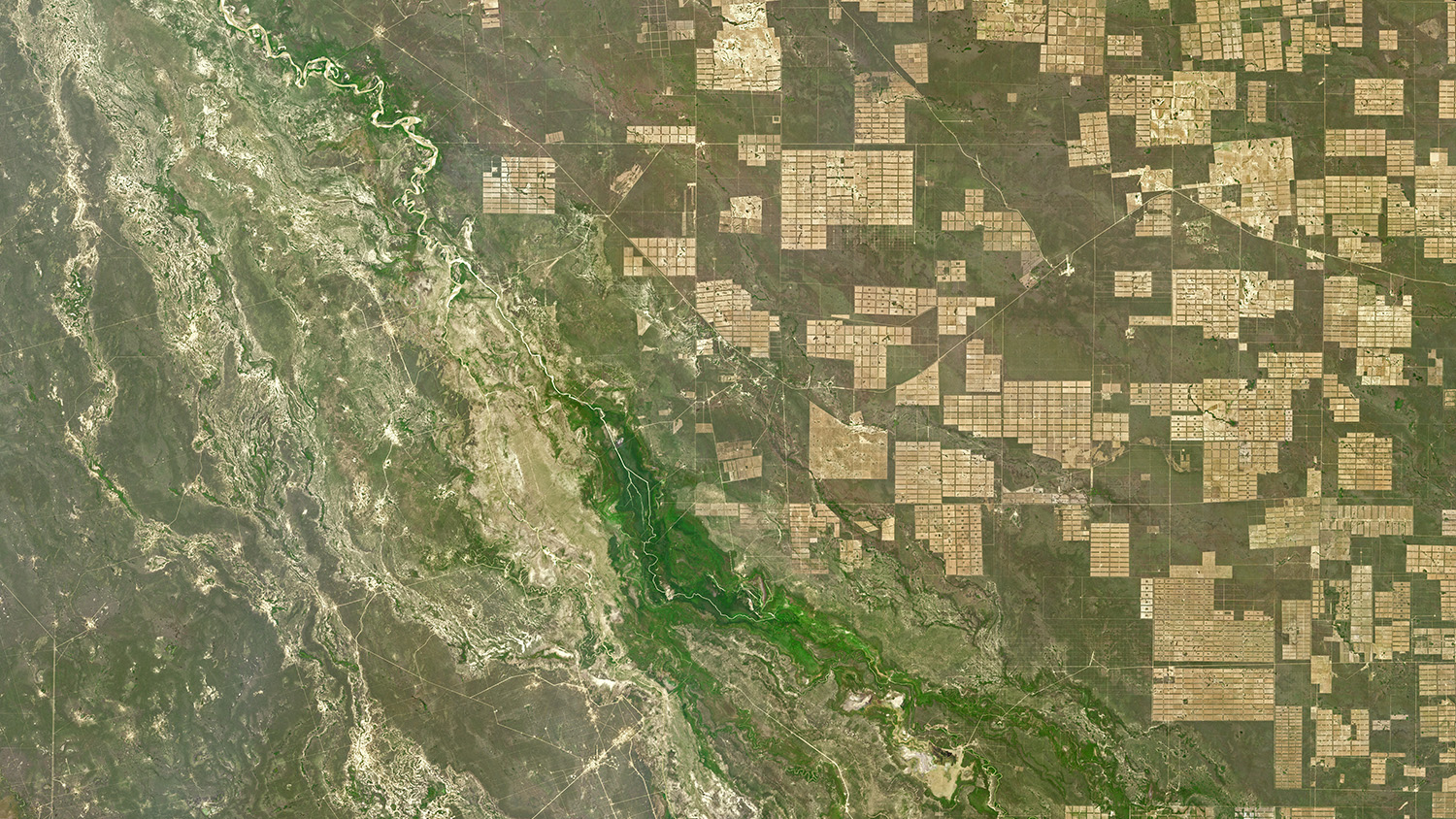
Center for Geospatial Analytics faculty fellow Josh Gray (assistant professor in the Department of Forestry and Environmental Resources) is leading the NC State effort. “Our overarching goal is to devise efficient, automated techniques to identify and characterize natural and anthropogenic changes in time series of remotely sensed images,” he says.
The ten collaborating institutions will group into three research teams to focus on distinct but interacting facets of the work: fusing and harmonizing data from multiple satellites, broadly searching Earth’s surface for change, and characterizing the attributes of changing landscapes.
“NC State and Boston University will lead the broad area search component,” Gray says. “Our job is to build methods capable of very quickly flagging likely changes on Earth’s surface, over very large spatial scales. We will ingest fused multispectral data cubes from the harmonization team, identify places likely to have changed in some way and then pass those areas off to the attribution team for characterization. The main innovations are in connecting all of these pieces together in one pipeline, and figuring out how to process these massive amounts of data efficiently.”
The funding NC State receives will support Gray and three doctoral students in his Spatial Ecosystem Analytics Lab (SEAL).
The other university partners and engineering company subcontractors include:
- Boston University
- Cornell University
- MIT – Massachusetts Institute of Technology
- South Dakota State University
- University of California at Riverside
- University of Tennessee
- I2R Corporation
- Element84
- Categories: