The National Phosphorus Budget

Editor’s note: Each semester, students in the Geospatial Analytics Ph.D. program can apply for a Geospatial Analytics Travel Award that supports research travel or presentations at conferences. The following is a guest post by travel award winner Kimia Karimi as part of the Student Travel series.
Phosphorus (P) runoff into streams and rivers from human activities causes water quality problems in lakes and coastal systems. Nutrient budgets have been used as a quantitative means of assessing the amount of nutrients imported to and exported from a system. However, at large spatial scales, estimates of P export to rivers are usually not available. In addition, how nutrient budgets change is generally not quantified at regular intervals. Therefore, it is critical to characterize P accumulation and transport across soils, streams, lakes and coastal waters.
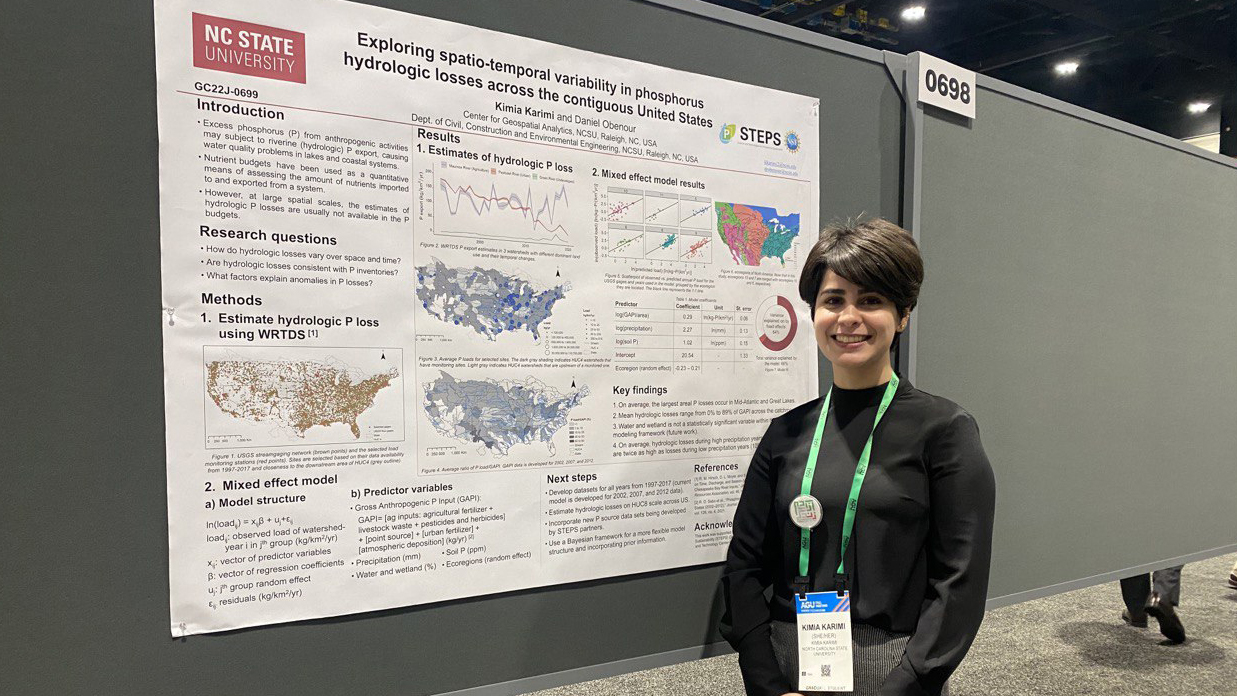
This year I received a Travel Award from the Center for Geospatial Analytics to attend the 2022 American Geophysical Union (AGU) Fall Meeting in Chicago, IL. I gave a poster presentation on exploring spatio-temporal variability in surface water P export across the US. We estimated P export across 150 US watersheds at an approximately 4-digit Hydrologic Unit Code (HUC 4) watershed scale (subregions) from 1997 to 2017. Our results showed that P export varies greatly across time and space. The largest P loss rates (per unit area) occur in the Mid-Atlantic and Great Lakes regions. In addition, P loss rates have the highest temporal variability in the Upper Colorado region, whereas the Lower Mississippi region have the lowest. We also explored relationships between P losses and various phosphorus inputs (e.g., fertilizers and municipal and animal waste from national inventories), climatic factors (precipitation) and watershed characteristics (e.g., land use). Building on these relationships, we are developing a Bayesian hierarchical model to estimate P losses across the entire US at a HUC 8 scale (subbasins, smaller than HUC4s). These results will help us identify hotspots of P export, along with the primary factors contributing to it. This project is part of the NC State’s new NSF-funded Science and Technologies for Phosphorus Sustainability (STEPS) Center.
- Categories:


