Mapping Rice: Lessons from a Remote Sensing Stint in Bangladesh
Editor’s note: Each semester, students in the Geospatial Analytics Ph.D. program can apply for a Geospatial Analytics Travel Award that supports research travel or presentations at conferences. The following is a guest post by travel award winner Varun Tiwari as part of the Student Travel series.
Bangladesh is one of the top producers of rice in the world, providing livelihood, nutrition and food security for roughly 157 million people in the country. The country’s rice production in recent years has been threatened because of climate change. The changing hydro-ecological cycle and increased flood events have amplified uncertainty in rice production. Yearly, flooding in Bangladesh causes damage to standing rice crops in the pre-harvest season (April, May and June). It is projected that the impact of climate change will intensify in the future, which will further amplify flooding events and pose a further threat to rice production. Therefore, there is a strong need for an in-season assessment of the rice crop area and yields to strengthen food security management in Bangladesh and at the global scale.
Problems are not stop signs
Designing an operational framework for in-season rice area mapping is challenging in Bangladesh. Sample points from the field are difficult to collect because fields are inaccessible from major roads, and therefore machine learning models, which are data-demanding, cannot be used. Optical satellite imagery is often contaminated in the presence of cloud cover, which often exists in tropical countries like Bangladesh. To address these problems, we developed a custom research framework for in-season rice area mapping in Bangladesh.
Design is more than problem-solving
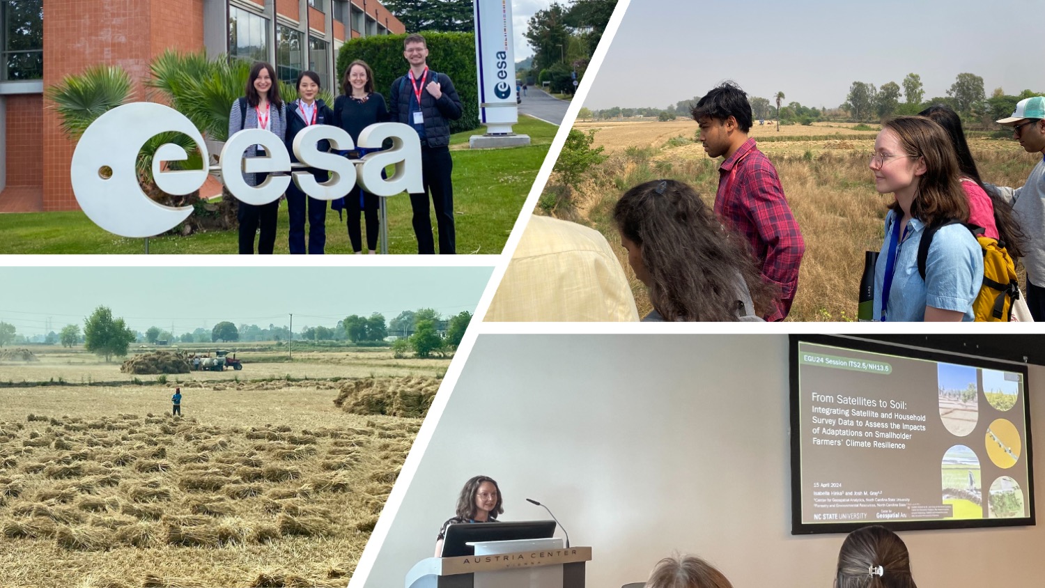
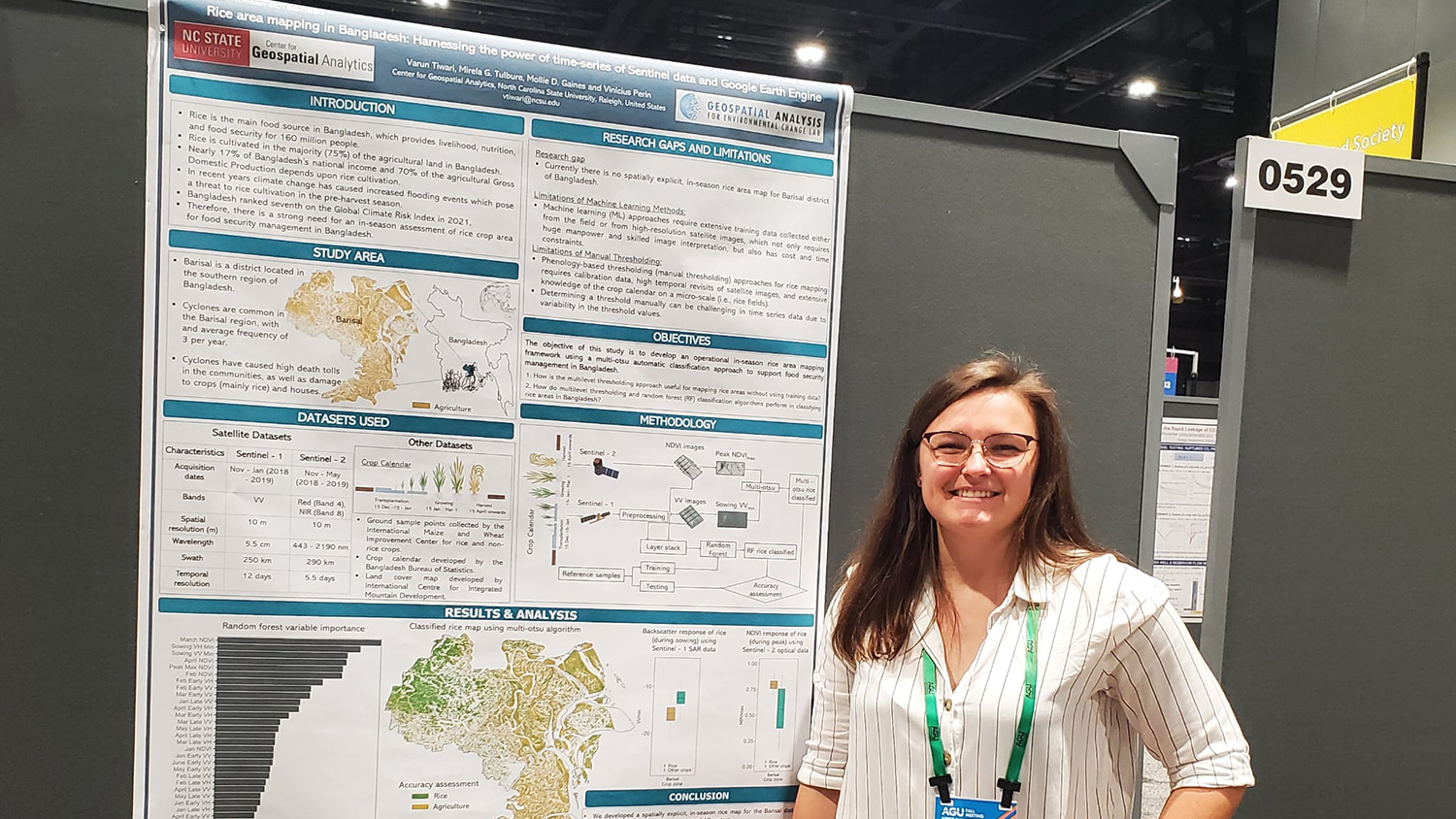
This year I was deeply pleased and honored to receive a Travel Award from the Center for Geospatial Analytics to virtually attend the American Geophysical Union (AGU) Fall Meeting 2022 that was held in Chicago, Illinois from 12 to 16 December 2022. I virtually presented my research work on the development of an automatic method for in-season rice area mapping in Bangladesh. The research was done in collaboration with International Maize and Wheat Improvement Center (CIMMYT), Bangladesh. The CIMMYT Bangladesh facilitated the collection of sample points (location of rice and other crop fields), which were used for validation.
To overcome the problems of cloud contamination of optical satellite imagery, a combination of Synthetic Aperture Radar (SAR) and optical satellite images was used to map rice in Bangladesh. SAR images were not affected by cloud cover and have the ability to acquire data in all weather conditions. We also used a sensor-independent unsupervised classification algorithm (UCA) to overcome the limitations of field data collection to map rice in Bangladesh. The UCA does not require sample data from the field to map rice fields. We found that the method can classify rice with high accuracy (>90%) and was scalable across space and time. The method was carbon-efficient as compared to machine learning-based methods that were carbon-intensive and require the processing of huge time-series satellite data. Moreover, the findings from this research also imply that this method can be effectively used to map rice without using training samples (rice and other classes) from the field, which were often challenging to collect and a key barrier for in-season rice area mapping. The developed method can provide independent and evidence-based estimates of rice areas at the national scale. Based on the rice estimates and population needs, the government of Bangladesh can export (in case of surplus) and import (in case of deficit) rice to and from other countries to ensure food security.
- Categories: