Discussing the Implications of Boundaries in Social-Ecological Systems at IALE-NA

Editor’s note: Each semester, students in the Geospatial Analytics Ph.D. program can apply for a Geospatial Analytics Travel Award that supports research travel or presentations at conferences. The following is a guest post by travel award winner Christina Perella as part of the Student Travel series.
In March of 2023, I arrived in Riverside, CA, to attend my first conference as a graduate student, the Annual Meeting of the International Association for Landscape Ecology – North American regional chapter. I was not greeted by the hot and sunny weather typical of the desert-adjacent region. Palm trees stretched toward a cloudy gray sky and in the distance, the hills were painted green and freckled with purple and yellow wildflowers. The atmospheric river that was devastating some parts of California made the mountains surrounding the city beautiful and verdant.
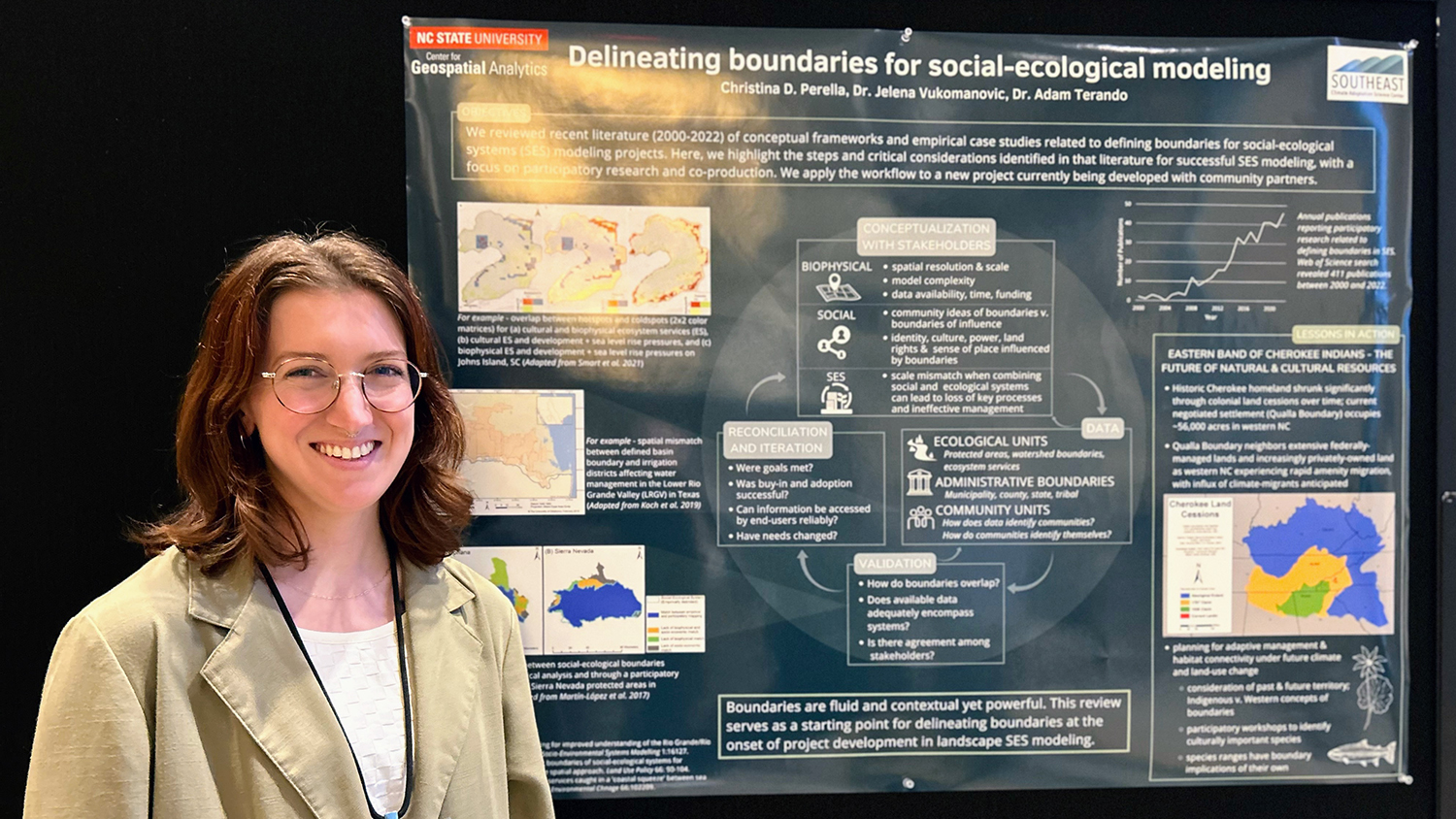
I was excited and honored to receive a Travel Award from the Center for Geospatial Analytics to support my attendance at the IALE-NA Annual Meeting. While there, I had the opportunity to present a poster titled “Delineating Boundaries in Social-Ecological Systems,” which described the literature review I’ve been working on about the tradeoffs in defining the spatial and temporal boundaries of a study system when considering both social and ecological processes.
Defining boundaries that do not adequately capture both systems and their interactions can lead to a loss of key processes and ultimately ineffective management of the system. For example, what may be defined as a watershed boundary based on characteristics like topography may have a larger social footprint because of irrigation systems extending outside of that boundary, which significantly impact the way water flows through the watershed. On the other hand, expanding boundaries too wide can have implications for the amount of detail able to be captured, the complexity of the study, and the amount of time, funding and data required.
Additionally, beyond the physical characteristics, boundaries can invoke and influence identity, culture, power, land rights and sense of place in ways that require consideration of the history, values, and natural and cultural resources being mapped or modeled, especially for Indigenous and other marginalized communities. Therefore, solutions will require a flexible approach and collaboration or co-production with communities and institutions that have local expertise of the system in question.
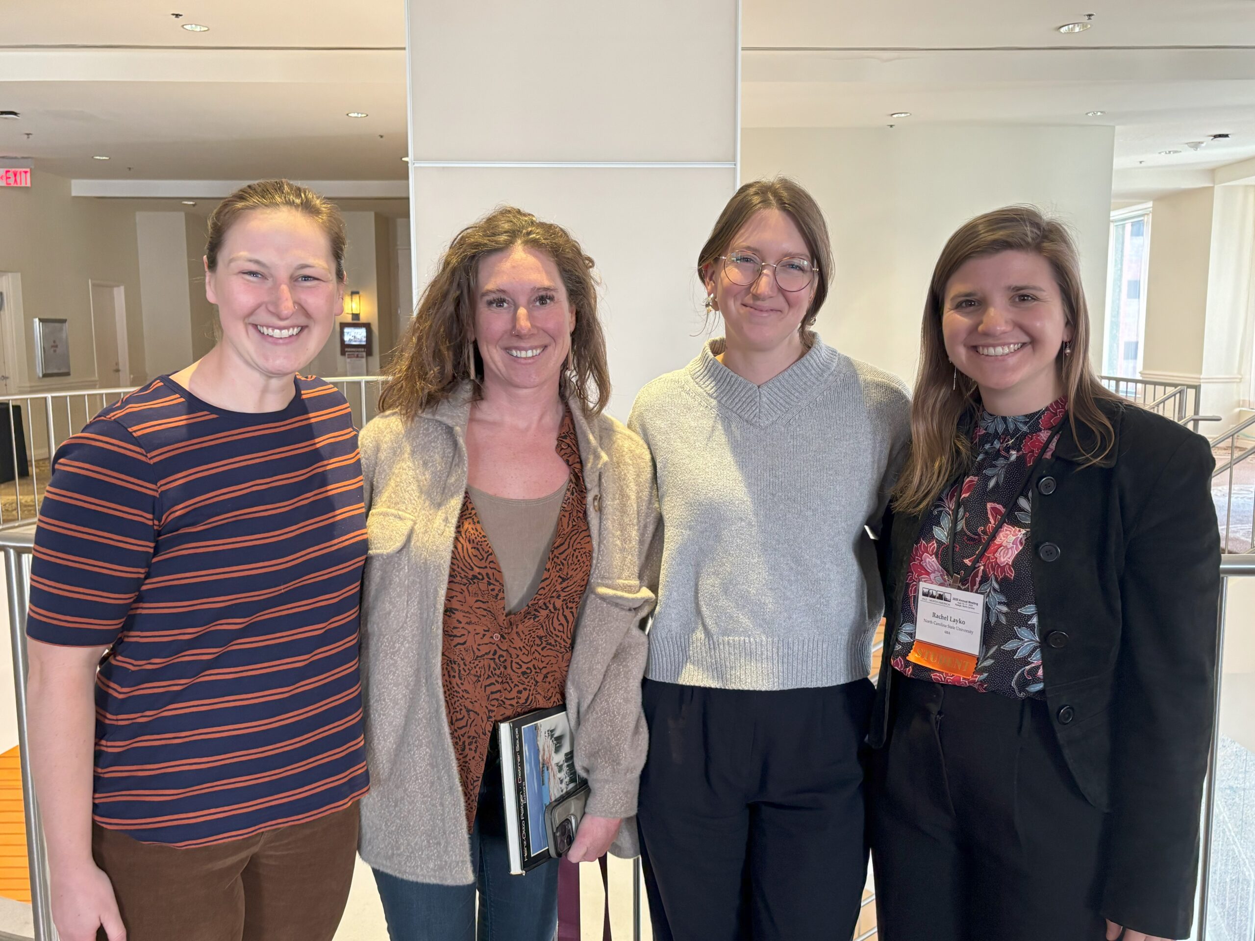
Turning this research into a poster was a great exercise in visual and verbal communication, and I was excited to find that despite the more conceptual nature of my poster compared to many of the other more technical projects, many people were interested in this topic and shared that they had wrestled with these concepts in one way or another in their own research. As a first-year Ph.D. student, I found this conference a great opportunity to connect with other students and scientists in the field and learn about their work through posters, talks and social events. The conference, which was attended by fewer than 300 people, was a comfortable size in which I got to know many of the people in attendance and catch up with them throughout the week, forming connections that have me looking forward to next year’s event! And, despite the rain, I enjoyed exploring some of the area’s local gems, including hiking the Two Trees Trail and Mount Rubidoux with other graduate students and grabbing a bite with new friends at Tio’s Tacos and the Food Lab.
Acknowledgements
I would like to thank my advisors, Dr. Jelena Vukomanovic and Dr. Adam Terando, for their guidance throughout this project. I would also like to thank IALE-NA for supporting my travel via a Student Travel Award as well as the Southeast Climate Adaptation Science Center for additional travel support as part of the Global Change Fellows Program.
- Categories:


