Fall 2023 Geospatial Forum Rewind
Revisit the Center for Geospatial Analytics' Fall 2023 Geospatial Forum series.
Each semester, our Geospatial Forum event series brings together researchers, educators, practitioners and students in the geospatial data sciences for lectures, interactive studios and panel discussions focused on important topics and cutting-edge techniques.
This fall, guest speakers discussed topics ranging from climate change and earthquakes to youth mental health and GIS in the news; two interactive studios also taught our community about cartography in journalism and cloud computing with Google Earth Engine and geemap.
Expand each title below to learn more and click the play button to revisit each recorded discussion.
Remember you can watch the recordings from past semesters anytime on our YouTube channel.
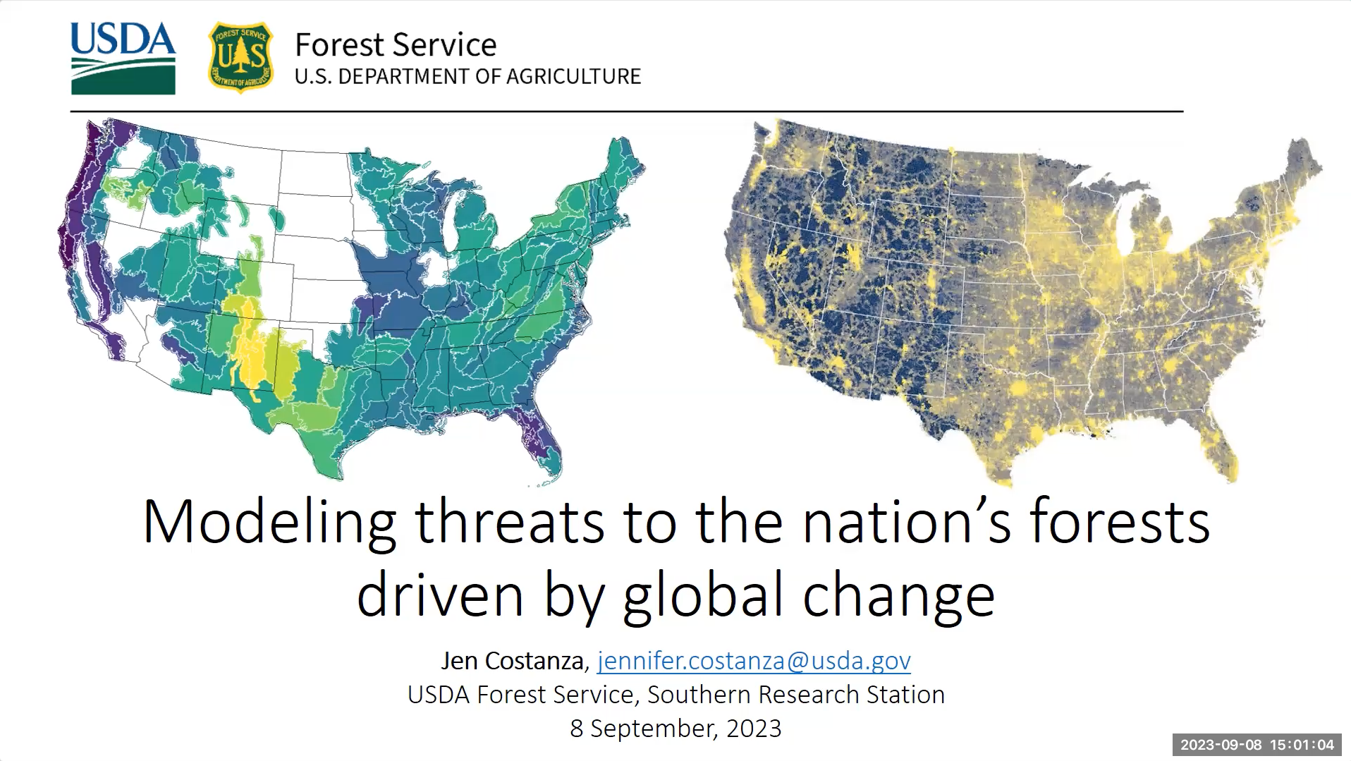
SEP 8 – Modeling Threats to the Nation’s Forests Driven by Global Change | Lecture
Lecture
Speaker: Dr. Jennifer Costanza (USDA – Forest Service)
Hosted by: Dr. Adam Terando
Summary: Forests across the U.S. support biodiversity and provide ecosystem services, including water quality and carbon storage. Knowledge about the impacts of global change drivers, including climate and land-use change, on forested landscapes in the U.S. is therefore important for informing forest research and policy priorities. This talk will provide an overview of recent regional and national assessments of forests that incorporate climate, land-use change, and socioeconomic scenarios. I will show how geospatial approaches are used, with a focus on two research studies: one on future drought exposure and the other on projection of future impervious surfaces across the U.S.
About the speaker: Dr. Jennifer Costanza is a Research Ecologist with the USDA Forest Service, Southern Research Station and the Center for Integrated Forest Science. Dr. Costanza’s research aims to understand how forests and landscapes have changed in the past, and the ways in which they may change in the future. More specifically, her research includes 1) modeling forest dynamics in response to disturbance, management, climate, and land-use change, 2) understanding and quantifying the effects of climate and land-use change on forest disturbances, including drought and fire, and 3) relating landscape patterns and connectivity to services derived from forests and other ecosystems, including wildlife habitat, biodiversity, and water.
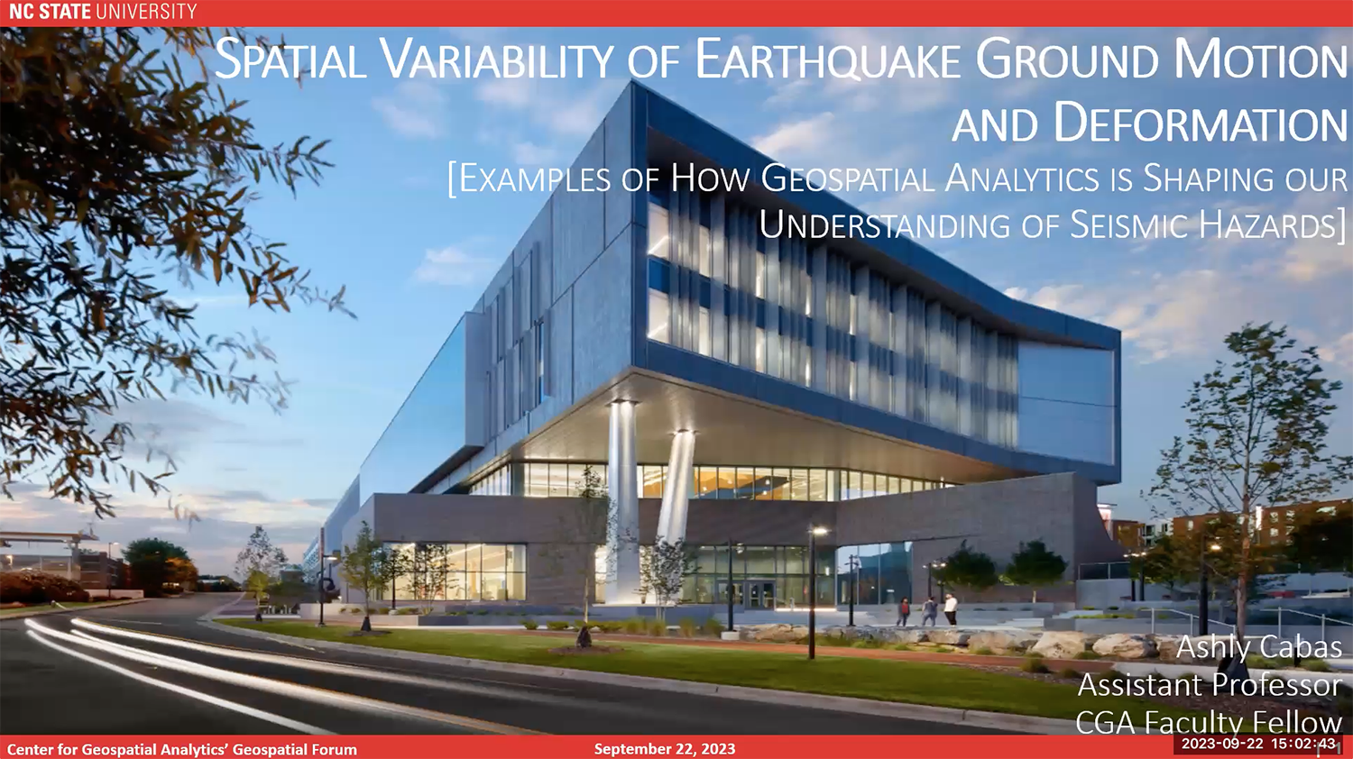
SEP 22 – Spatial Variability of Earthquake Ground Motion and Deformation: Examples of How Geospatial Analytics is Shaping our Understanding of Seismic Hazards | Lecture
Lecture
Speaker: Dr. Ashly Cabas (NC State)
Introduction by: Dr. Daniel Obenour
Summary: Efforts toward improving resiliency of urban environments to seismic hazards are challenged by highly variable ground motions and deformations over large scales. The geologic structures near the ground surface can exert a significant influence on earthquake ground motions and on the spatial extent of ground deformations. Our team uses geospatial analytics to understand the spatiotemporal variability of ground shaking and deformation, and to model their impact on civil infrastructure systems and the communities they serve. This forum presentation will provide examples of how we use geospatial analytics to interrogate geotechnical, geological and seismological data, as well as to advance modeling frameworks of geohazards at multiple scales. Case studies include lessons from the 2021 Nippes, Haiti, 2011 Christchurch, New Zealand, and 2011 Tohoku, Japan earthquakes.
About the speaker: Ashly Cabas is an Assistant Professor and leads the Geohazards and Earthquake Engineering (GeoQuake) research lab (https://cabas.wordpress.ncsu.edu/) in the Department of Civil, Construction, and Environmental Engineering at North Carolina State University. She earned her B.S. at Universidad Católica Andrés Bello in Caracas, Venezuela, and her M.S. and Ph.D. in Civil Engineering at Virginia Tech. Dr. Cabas’ research interests are interdisciplinary with a focus on geotechnical earthquake engineering, engineering seismology, and more recently, human-centered approaches to disaster resilience. She is a recipient of an NSF CAREER Award in 2022 and the 2021 EERI Shah Family Innovation Prize. She is an Associate Editor of Earthquake Spectra and a member of the Board of Directors of the Seismological Society of America. Dr. Cabas is also the founder of the first Earthquake Engineering and Seismology Community Alliance in Latin America and the Caribbean (E2SCALA).
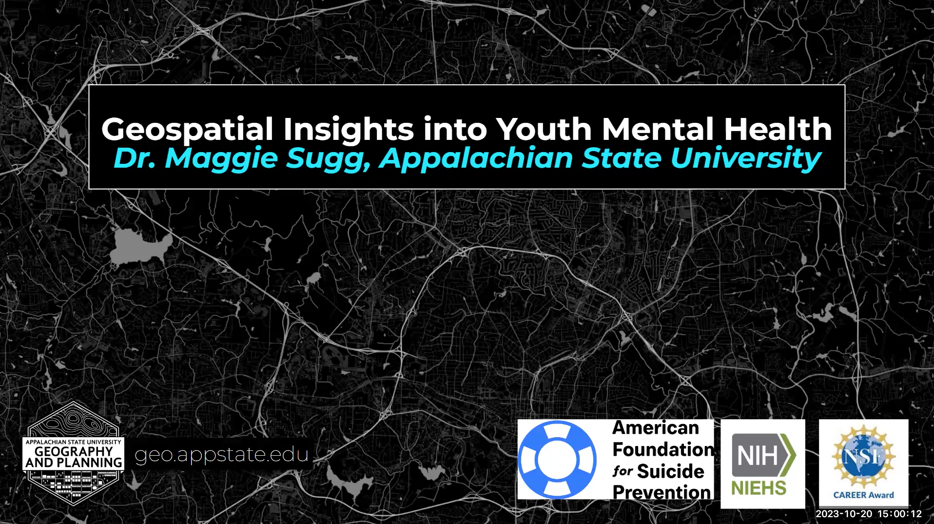
OCT 20 – Geospatial Insights into Youth Mental Health | Lecture
Lecture
Speaker: Dr. Maggie Sugg (Appalachian State University)
Hosted by: Dr. Aaron Hipp
Summary: Youth mental disorders and suicide are an acute public health crisis. Yet, mental health research primarily focuses on clinical settings and qualitative methods that are local in scale or limited to the most severe outcomes (e.g., suicide). Identifying geographic hotspots in which adolescents are at greater risk for adverse mental health outcomes is a complex issue involving a combination of social, environmental, and/or economic variables related to spatial location. We will leverage recent advances in spatial analytics paired with longitudinal mental health data from state-based surveillance systems and novel real-time digital data sources to tease apart these dynamic and complex interactions.
About the speaker: Dr. Maggie Sugg is an Associate Professor in the Department of Geography & Planning at Appalachian State University. Her research focuses on the spatiotemporal patterns of environmental health illnesses and how these patterns relate to environmental, socioeconomic, and climatic determinants. Dr. Sugg has 70 publications on the intersection of geography, climate, and public health. She is a recipient of the National Science Foundation CAREER award and the Environmental Protection Agency’s STAR fellowship in Public Health and funding from the National Institute of Environmental Health Sciences (NIEHS), the National Science Foundation (NSF), National Institute of General Medical Sciences (NIGMS), the American Foundation for Suicide Prevention (AFSP).
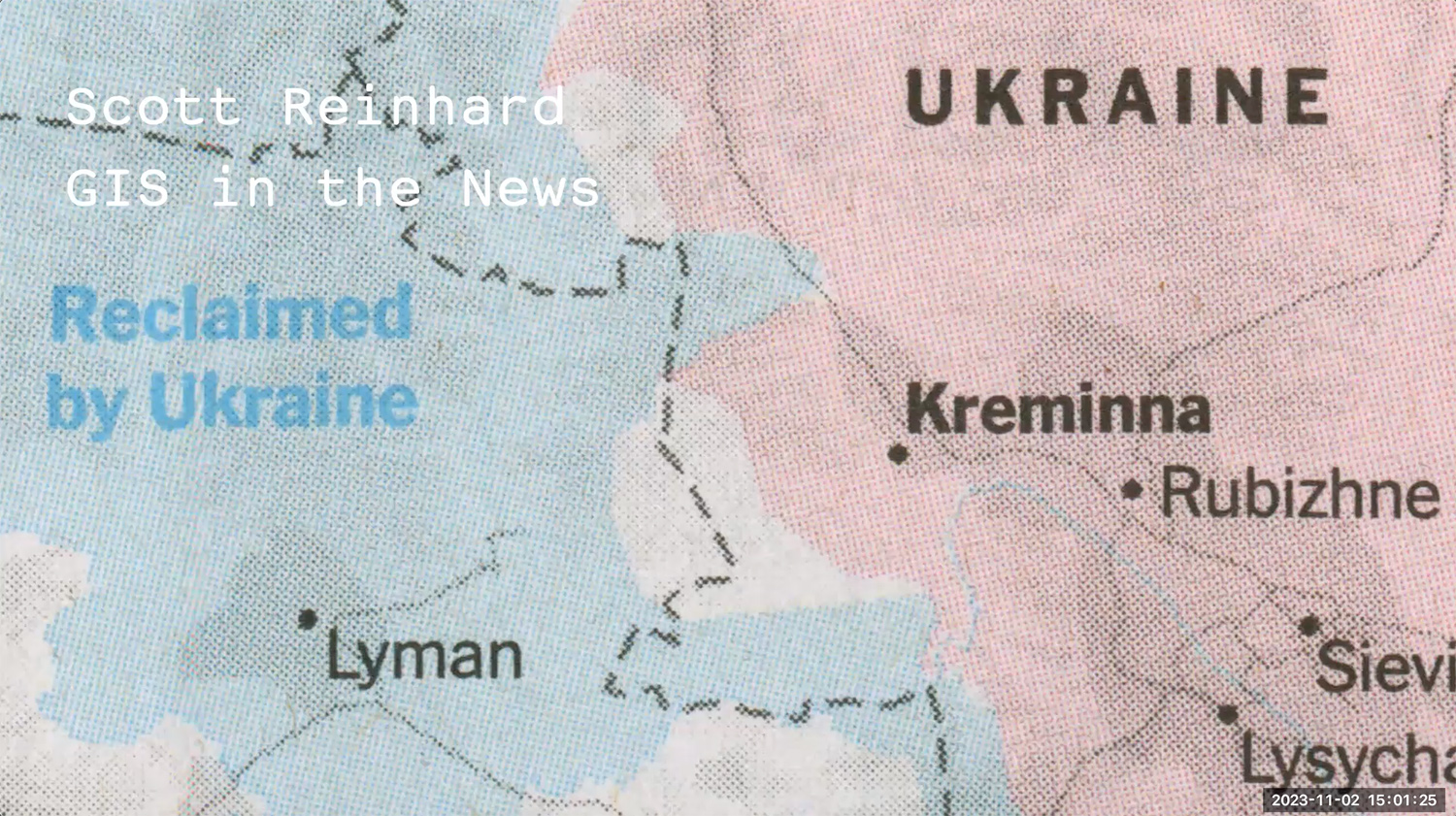
*NOV 2 – GIS in the News | Lecture
Lecture
Speaker: Scott Reinhard (The New York Times)
Co-hosted by: Dr. Georgina Sanchez and Geospatial Analytics PhD student Margaret Lawrimore
Summary: From weather to world events, geographic information systems (GIS) and mapping play critical roles in conveying news to the public. In this forum, Mr. Reinhard will showcase a variety of world news events that he contributed to as a graphics editor at The New York Times and discuss how GIS, cartography and data visualization help tell the stories.
About the speaker: Scott Reinhard is a Brooklyn, New York and Sharon, Connecticut-based graphic designer and cartographer. He works as a Graphics Editor at The New York Times focusing on cartography and data visualization, and previously worked at the New York City-based design studio 2×4 and the Museum of Contemporary Art Chicago. Scott holds a Master of Graphic Design from North Carolina State University.
*NOV 3 – From Here to There: Exploration, Process and Deadlines in Journalistic Cartography | Studio
Studio
Speaker: Scott Reinhard (The New York Times)
Co-hosted by: Dr. Georgina Sanchez and Geospatial Analytics PhD student Margaret Lawrimore
Summary: GIS and mapping are used throughout the creation of many news stories, from reporting and sketches to final presentations. In this studio, Mr. Reinhard will dive deep into a handful of news projects that he has worked on as a graphics editor at The New York Times and discuss design decisions, techniques and processes, and how GIS makes it happen.
About the speaker: Scott Reinhard is a Brooklyn, New York and Sharon, Connecticut-based graphic designer and cartographer. He works as a Graphics Editor at The New York Times focusing on cartography and data visualization, and previously worked at the New York City-based design studio 2×4 and the Museum of Contemporary Art Chicago. Scott holds a Master of Graphic Design from North Carolina State University.
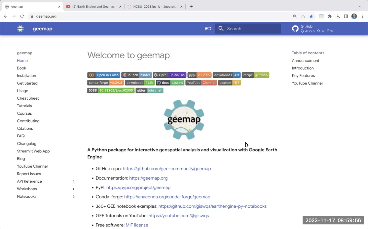
*NOV 17 – GIS Week | Interactive Cloud Computing with Google Earth Engine and Geemap | Studio
Studio
Speaker: Dr. Qiusheng Wu (University of Tennessee – Knoxville)
Hosted by: This event is part of GIS Week at NC State, organized by the Geospatial Graduate Student Organization.
Summary: Google Earth Engine (GEE) is a cloud computing platform with a multi-petabyte catalog of satellite imagery and geospatial datasets. It enables scientists, researchers, and developers to analyze and visualize changes on the Earth’s surface. The geemap Python package provides GEE users with an intuitive interface to manipulate, analyze, and visualize geospatial big data interactively in a Jupyter-based environment. The topics covered in this workshop include: (1) introducing geemap and the Earth Engine Python API; (2) creating interactive maps; (3) searching GEE data catalog; (4) visualizing GEE datasets; (5) analyzing GEE datasets, and (6) exporting GEE datasets. More information about the geemap Python package can be found at https://geemap.org.
About the speaker: Dr. Qiusheng Wu is an Associate Professor in the Department of Geography & Sustainability at the University of Tennessee, Knoxville. In addition, he holds positions as an Amazon Visiting Academic and a Senior Research Fellow at the United Nations University. Specializing in geospatial data science and open-source software development, Dr. Wu is particularly focused on leveraging big geospatial data and cloud computing to study environmental changes, with an emphasis on surface water and wetland inundation dynamics. He is the creator of several open-source packages designed for advanced geospatial analysis and visualization, including geemap, leafmap, and segment-geospatial. For a closer look at his open-source contributions, please visit his GitHub repository: https://github.com/opengeos.
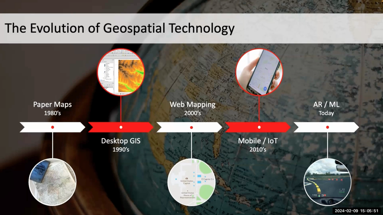
NOV 17 – GIS Week | Spatially Empowered: The Geospatial Journey of My Career | Lecture
Lecture
Speaker: Dr. Qiusheng Wu (University of Tennessee – Knoxville)
Hosted by: This event is part of GIS Week at NC State, organized by the Geospatial Graduate Student Organization.
Summary: Geospatial technology has played a pivotal role in shaping my career path. From initial explorations in Google Earth to advanced geospatial analytics and open-source software development, the use of geospatial tools has provided not just a technical skillset, but a unique lens through which to view the world. In this talk, I will highlight key projects that exemplify the power of spatial thinking in addressing environmental challenges. I will wrap up the discussion by offering insights into emerging trends that are shaping the future of geospatial analytics.
About the speaker: Dr. Qiusheng Wu is an Associate Professor in the Department of Geography & Sustainability at the University of Tennessee, Knoxville. In addition, he holds positions as an Amazon Visiting Academic and a Senior Research Fellow at the United Nations University. Specializing in geospatial data science and open-source software development, Dr. Wu is particularly focused on leveraging big geospatial data and cloud computing to study environmental changes, with an emphasis on surface water and wetland inundation dynamics. He is the creator of several open-source packages designed for advanced geospatial analysis and visualization, including geemap, leafmap, and segment-geospatial. For a closer look at his open-source contributions, please visit his GitHub repository: https://github.com/opengeos.

- Categories: