Presenting on Flood Risk, Development and Human Migration at AGU
Editor’s note: Each semester, students in the Geospatial Analytics Ph.D. program can apply for a Geospatial Analytics Travel Award that supports research travel or presentations at conferences. The following is a guest post by travel award winner Margaret Lawrimore as part of the Student Travel series.
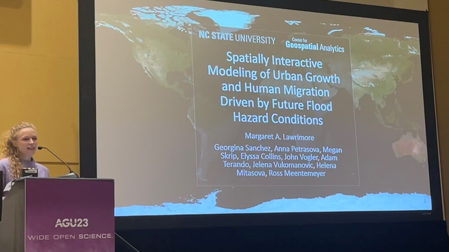
In December I had the opportunity to attend and present at the American Geophysical Union 2023 conference (AGU23) in San Francisco, California. AGU is the largest conference in my field with over 22,000 in-person attendees. As a third-year Ph.D. student in Geospatial Analytics, I was excited at the possibility of attending AGU to make connections and learn from experienced researchers and fellow students about ways to improve and expand my research. Given the sheer size of the conference, I was pleasantly surprised (and a little nervous) when I was accepted to give an oral presentation.
I presented results from the latest version of our model the FUTure Urban Regional Environment Simulation (FUTURES 3.0). FUTURES predicts future development and possible human responses to flood risk. Depending on the level of flood risk and vulnerability of developed areas, FUTURES predicts one of three possible responses: The community could adapt, meaning enact a protective measure that will reduce future flood exposure (this could be elevating a home or building a sea wall). Alternatively, some residents may have greater flood risk and/or vulnerability and thus be unable to enact protective measures and stay trapped. Finally, some residents may choose or be forced to relocate or retreat to another area. For each developed area that is predicted to retreat, FUTURES will also predict possible destination locations for retreating populations. I presented FUTURES predictions of development, flood response and human migration by 2050 for a test case in the Charleston, SC metro area. See this post to learn more about the latest version of FUTURES.
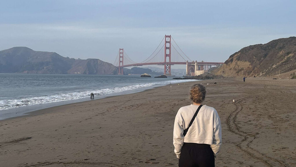
Beyond presenting, I also attended posters and presentations relevant to my research including talks on new methods for monitoring urban sprawl and predicting flood inundation. I also spent time building my professional network by making connections in the AGU exhibit hall and attending networking events in the evenings. For example, one evening I attended a mini-conference with Planet Labs to learn from professionals and students utilizing Planet’s satellite imagery. In between the busy conference schedule, I was also able to find time to explore San Francisco with my peers. One highlight was exploring the Golden Gate National Recreation Area at sunset and seeing the Golden Gate Bridge (pictured below).
Acknowledgment: Thank you to Georgina Sanchez, Ross Meentemeyer, and the members of the Urban Systems Lab group for leading and contributing to this project.
- Categories:
