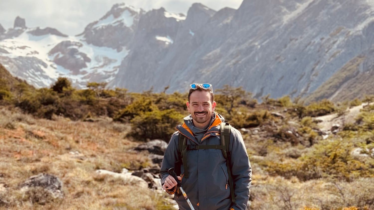
Vinicius Perin graduated in 2022 with a Ph.D. in geospatial analytics from the NC State College of Natural Resources’ Center for Geospatial Analytics. He now works as a geospatial software engineer for Planet Labs in San Francisco, California.
While at NC State, Perin participated in the Geospatial Graduate Student Organization. The student government organization supports all graduate students affiliated with the Center for Geospatial Analytics. The organization sponsors professional development activities, social events and service projects, such as partnering with Wake County’s Holiday Cheer program.
We recently spoke with Perin to learn more about his passion for geospatial analytics and how the College of Natural Resources prepared him for his career. Check out the Q&A below.
What does a typical day in your job look like?
A typical day starts with planning and checking for upcoming activities. Normally, I try to start the day with the most cognitively-demanding activities, which are related to developing and debugging software and developing or implementing new algorithms to process satellite imagery.
What inspired you to study geospatial analytics?
Photos of the Earth, political boundaries, different biomes and geography, in general. These topics have always sparked a sense of curiosity and exploration in me. The grandiosity of a single satellite imagery covering a large swath of Earth’s surface really brought me into geospatial analytics; I can go for hours looking at different images and trying to understand what they are telling us.
What impact are you making through your position?
I am part of the PlanetScope Basemaps team. I am currently working on improving and developing new methods to combine thousands of satellite imagery to create seamless images of the entire Earth. Basemaps were developed to monitor large areas, i.e., the entire Amazon Rainforest.
The work from our team has supported a wide range of customers. For instance, through the NICFI program, Basemaps of the global tropics are distributed openly to help reduce and reverse tropical forest loss. In another case, Planet partnered with NASA Harvest with the aim to assess threats to food security and make agricultural monitoring more accessible.
How did the College of Natural Resources prepare you for your current position?
The College of Natural Resources has a multidisciplinary body of professors and researchers offering a wide range of technical courses. I took the most advantage of the courses teaching scientific programming languages and data analytics.
What advice do you have for current College of Natural Resources students?
Do not wait until you are “ready” to start a new endeavor, whether that is applying for a fellowship, a teaching position or a job outside the university. Give it a try; if you fail, at least you learned something new. And with that said, always keep an eye open for new learning opportunities.
This post was originally published in College of Natural Resources News.
- Categories:


