Take OUR 3-D Virtual Tour




CONNECT WITH US
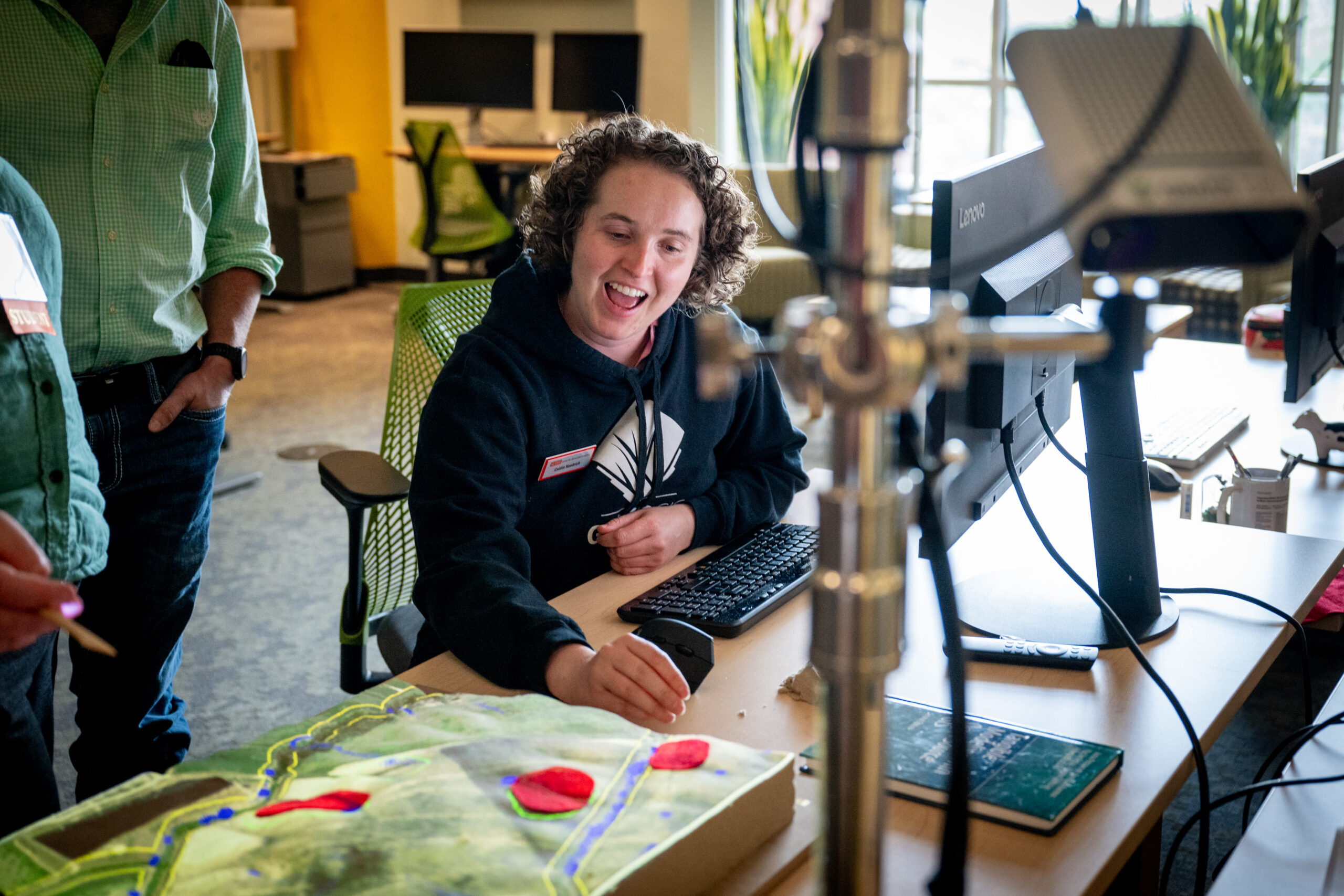
“Geospatial Analytics can deepen our understanding of almost any problem — and unearth new solutions.”
– Ross Meentemeyer, Executive Director, Center for Geospatial Analytics
– Ross Meentemeyer, Executive Director, Center for Geospatial Analytics