Research
We observe the world around us, model complex processes through space and time, and create new ways of visualizing and interacting with spatial data. Our work results in innovative, actionable strategies that address real-world problems.
New Frontiers
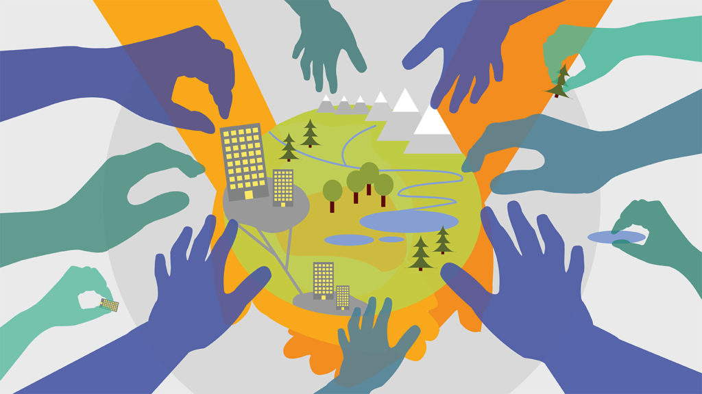
At the Center for Geospatial Analytics, we push the boundaries of spatial data science to advance discovery and inform real-world decision-making. Our researchers amass robust datasets using emerging technologies, then use that information to simulate “what-if” scenarios of change to evaluate potential risks and trade-offs.
We put these forecasts into the hands of the people who need them most by developing easy-to-use, interactive decision analytics driven by sophisticated computer models.
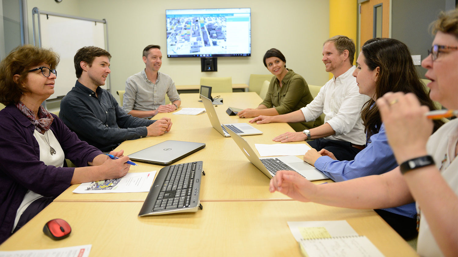
We put these forecasts into the hands of the people who need them most by developing easy-to-use, interactive decision analytics driven by sophisticated computer models. These tools use the latest geovisualization techniques to provide meaningful spatial information in accessible and intuitive formats. Our work also involves deep collaboration with government, industry and community partners to address environmental and societal challenges important to them.
Launched in 2019, our five signature research themes define how we are advancing the field.
Mapping a Dynamic Planet
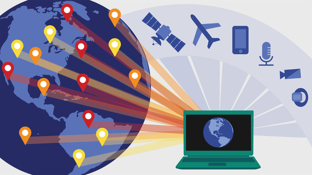
We use data from state-of-the-art sensors on near-surface, underwater, airborne and satellite platforms to map and monitor our dynamic planet from local to global scales. We develop cutting-edge analytic and computational approaches to apply these big data in real-world problem-solving.
Forecasting Landscape and Environmental Change
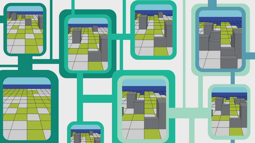
We develop models to simulate patterns of landscape and environmental change and help decision-makers explore what may happen in the future under different scenarios. We cultivate an open source community of users and developers who advance these models and find new applications.
Creating Near Real-Time Decision Analytics
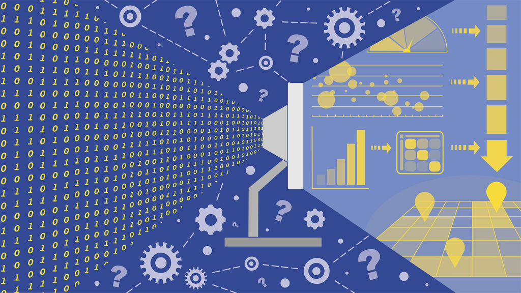
We harness data as they become available to support faster, better informed decisions. We turn complex models and simulations into user-friendly discovery tools by developing sophisticated back-end algorithms and interactive front-end dashboards that visualize data clearly and quickly.
Exploring Models through Tangible Interaction
We create hands-on tangible user interfaces that allow people with all ranges of expertise to control complex geospatial models with their hands and collaboratively explore scenarios of intervention. Our open source tools, such as Tangible Landscape, inspire spatial thinking and new ways of learning.
Engaging Communities with Participatory Modeling
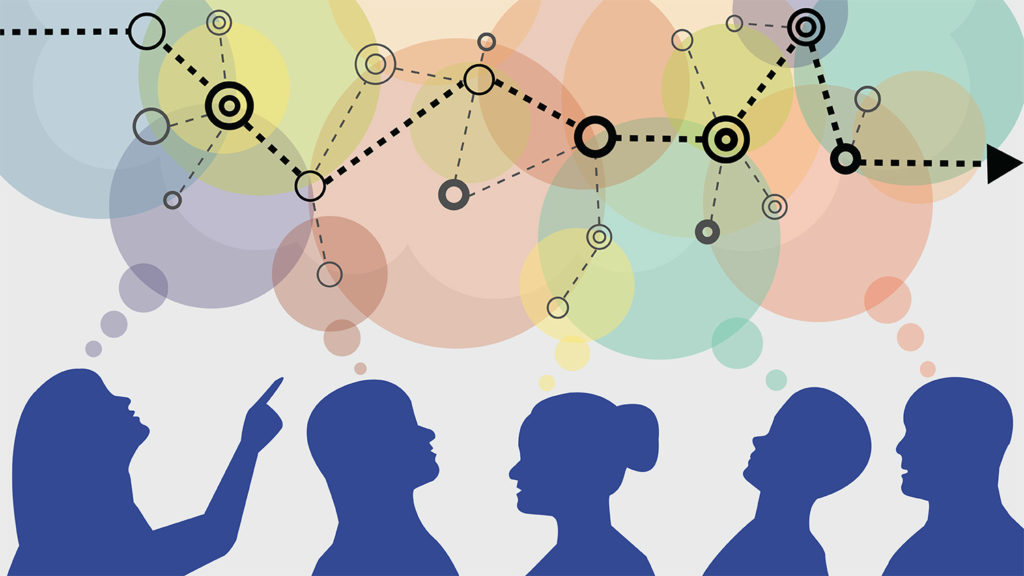
We work locally with individuals who both affect and are affected by resource challenges to co-create simulations and visualizations that support decision-making. We collaborate with diverse groups to frame research questions, guide methodology and decide how to use results for action.