Introducing the Center for Geospatial Analytics’ Strategic Research Areas

At the Center for Geospatial Analytics, our researchers transform data into new insights. We generate actionable information, reveal patterns and discover deep connections between locations, people and events. We convert data into knowledge.
Big data continue to transform what it’s possible to know, understand and do. With the power of geospatial analytics, we’re harnessing big data to help decision-makers make informed choices. We create new ways of processing, visualizing and exploring data, and we work with the people who need these data and tools the most––helping them to take on some of today’s most pressing challenges.
Now, we are unveiling five strategic research frontiers that highlight our strengths and aspirations as we continue to push the boundaries of geospatial data science.
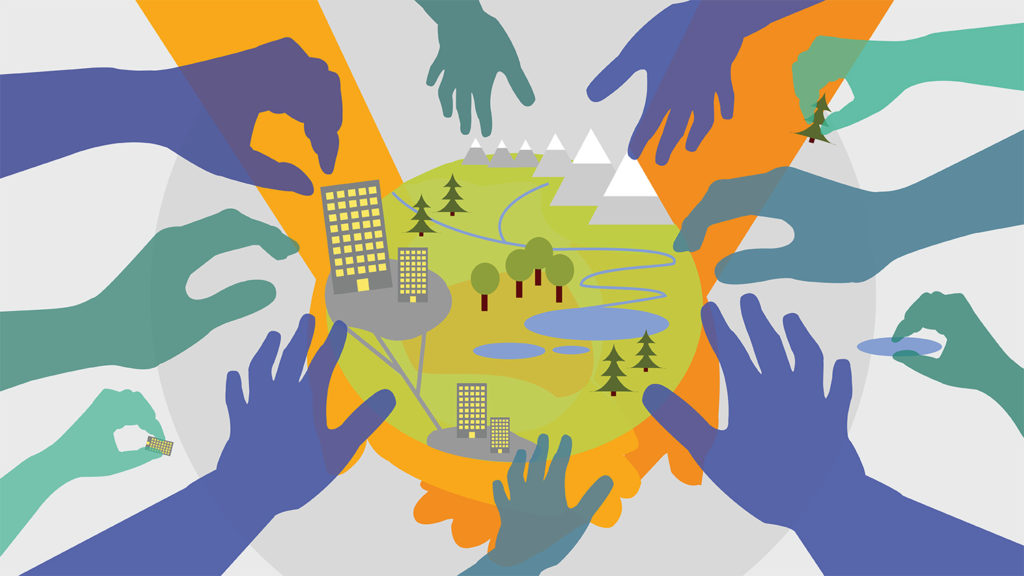
These frontiers unite faculty, staff and students from across NC State University in unique partnerships, with a shared goal of solving real problems with real location-based data. Leveraging our expertise in geospatial science, we collaborate with government, industry and other community partners to make extraordinary discoveries and get important work done.
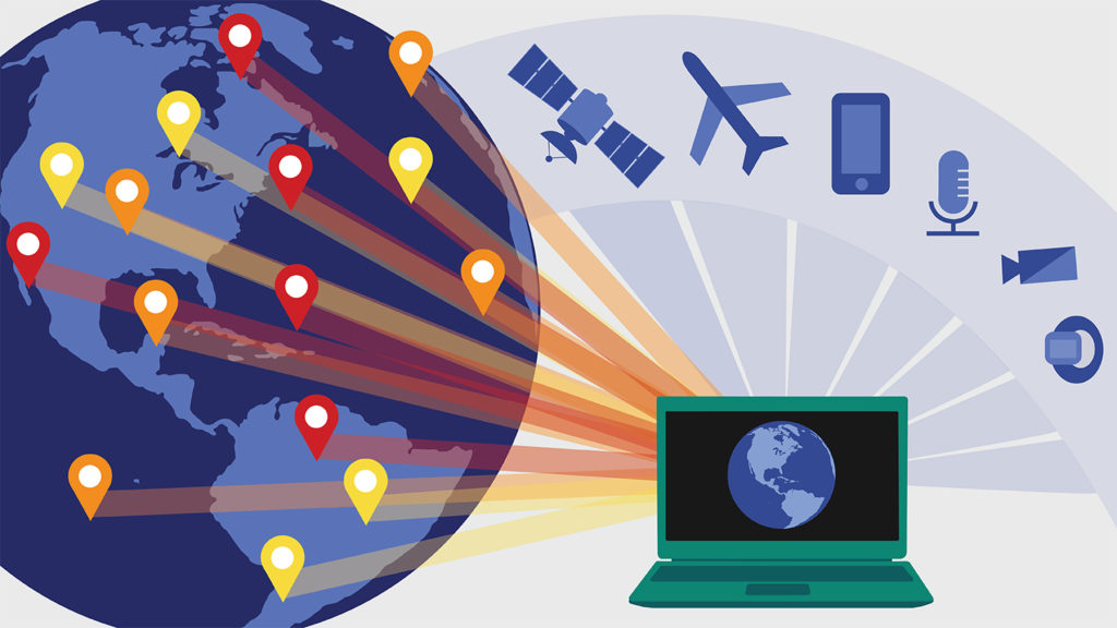
Mapping a Dynamic Planet
Devices that collect location-specific data are everywhere: satellites, weather stations, tide gauges, drones, underwater microphones, webcams, your smartphone, your Fitbit…and so many more.
We create new methods to collect and process massive datasets from these sensors, to map and monitor our changing planet from local to global scales.
We develop algorithms to sort through, combine and clean up huge amounts of data. And we innovate ways to apply data from sensors in new contexts: measuring park use in diverse communities, monitoring deforestation in the Amazon, tracking shipping noise in coastal ports, understanding the ebbs and flows of streams in water-scarce regions, documenting crop disease…and much more.
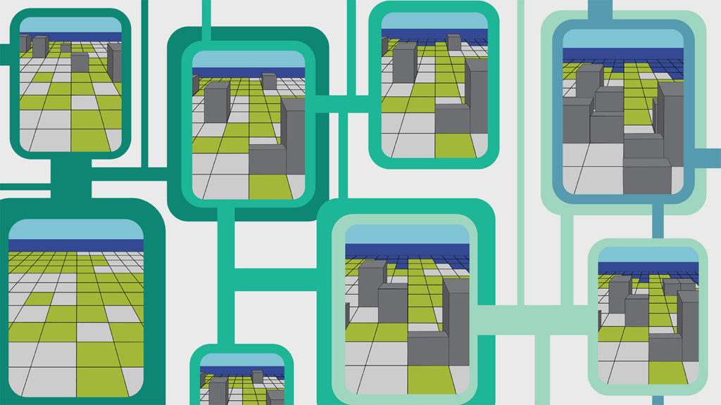
Forecasting Landscape and
Environmental Change
Big data collected from sensors provide essential starting information for computer models, which can be used to make predictions about the future. We develop models that simulate real-world conditions and forecast alternative futures, revealing the impacts of different decisions that could address a pressing problem.
These models can forecast the growth of cities, sea level rise, changes in forest health, damage from insect pests, the spread of animal disease and more––all revealing the probability of something happening at a particular location under a particular set of circumstances, so that the course of the future might be changed.
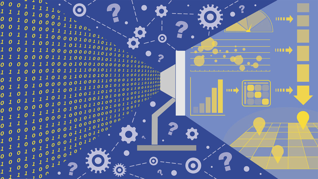
Creating Near Real-Time Decision Analytics
Data and computer models are useful only when they make sense to the people who need them. We break down technical barriers to using data and models by creating user-friendly discovery tools––online dashboards and interactive maps––that present essential information clearly and quickly.
These tools help support real-time collaboration, discussion and decision-making, as they run sophisticated models in the background while presenting intuitive and helpful on-screen images and infographics that offer guidance and summarize the most critical information.
With these decision analytics, we are helping government officials, community leaders and businesspeople to develop and test strategies for change, running repeated simulations of “what-if” scenarios. The tools we develop provide creative, collaborative spaces for experimentation––from practicing how to fight a wildfire to strategizing how to stop an invasive insect pest––before any money is spent or resources deployed in the real world.
Exploring Models through Tangible Interaction
Not everyone wants to use a computer mouse to explore data and models, and they shouldn’t have to. Our researchers are at the forefront of creating tools that are literally hands-on. Tangible interaction means being able to shape, mold or otherwise change a physical surface to drive a computer simulation. This interaction allows people of all skill levels to explore and control complex geospatial models––by placing their hands on that interactive surface and seeing the impacts of changes they’ve made, right away.
The tangible systems we create help decision-makers, designers and students explore spatial concepts and run computer models in collaborative groups, without ever needing to use a mouse. We also study how touchable interfaces improve spatial understanding and collaboration, breaking new ground in the fields of human-computer interaction, learning and cognition.
Engaging Communities through
Participatory Modeling
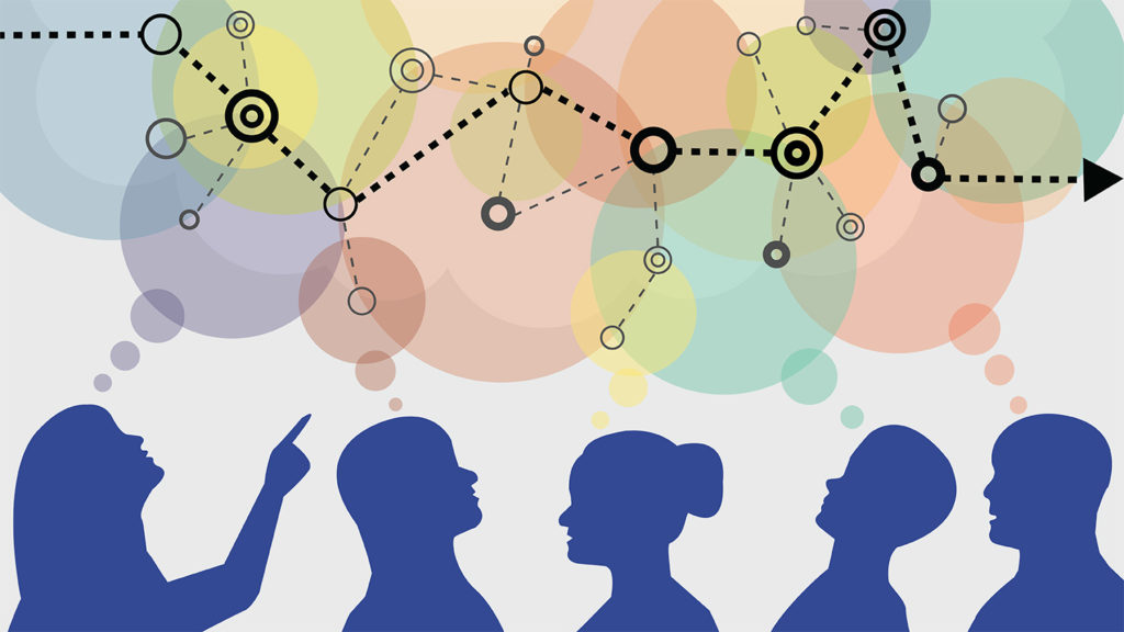
To solve tough problems, people must work together––to define the scope of the problem they face, understand the problem’s complexities and explore solutions. We work closely with communities confronting hard choices, helping them to find the right geospatial data and models essential to their decision-making process.
We collaborate with government officials, regional leaders, business owners, nonprofit organizations, civic groups and others to frame research questions, co-develop geospatial models and use the results of simulations to drive positive outcomes.
For example, we help resource managers to predict the spread of invasive agricultural pests and forest disease; coastal communities to prioritize the preservation of landscapes threatened by sea level rise and urban growth; and regional governments to identify solutions to extreme flooding from storms.