At the Center for Geospatial Analytics, we push the boundaries of geospatial data science to make discoveries and get important work done.
“Geospatial analytics can deepen our understanding of almost any problem — and unearth new solutions.”
Ross Meentemeyer Executive Director, Center for Geospatial Analytics
Goodnight Distinguished Professor of Geospatial Analytics
What We Do
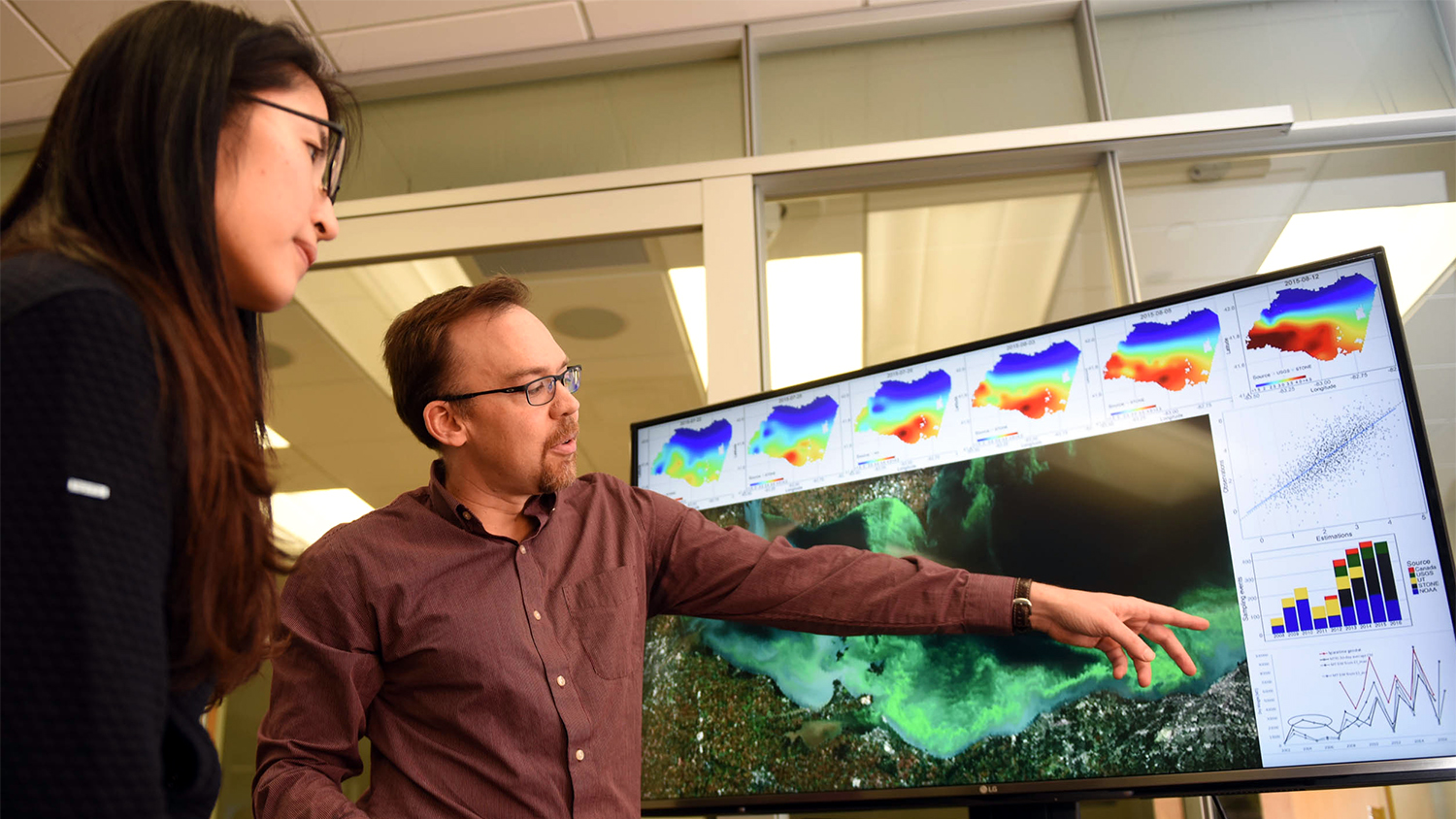
The Center for Geospatial Analytics at NC State is the foremost interdisciplinary research and teaching center of its kind in the nation. We work alongside top researchers, policy experts and leaders in industry to apply geospatial analytics to a host of problems — from preparing for floods to controlling the spread of invasive species.
All our work serves a common purpose: advancing innovative solutions to grand societal challenges. Many of our tools and applications are open-source, free and adaptable for others to use. Through our research, we support a wide range of real-world stakeholders facing complex problems, such as tracking the movement of endangered species or minimizing the flood danger posed by future hurricanes.
What is “Geospatial Analytics”?
The term “geospatial” is widely understood, relating to the Earth, world or location, but “analytics” is often misdefined. “Analysis” means examination of data, but “analytics” are tools and approaches that help people discover and communicate meaningful patterns in data, to make decisions.
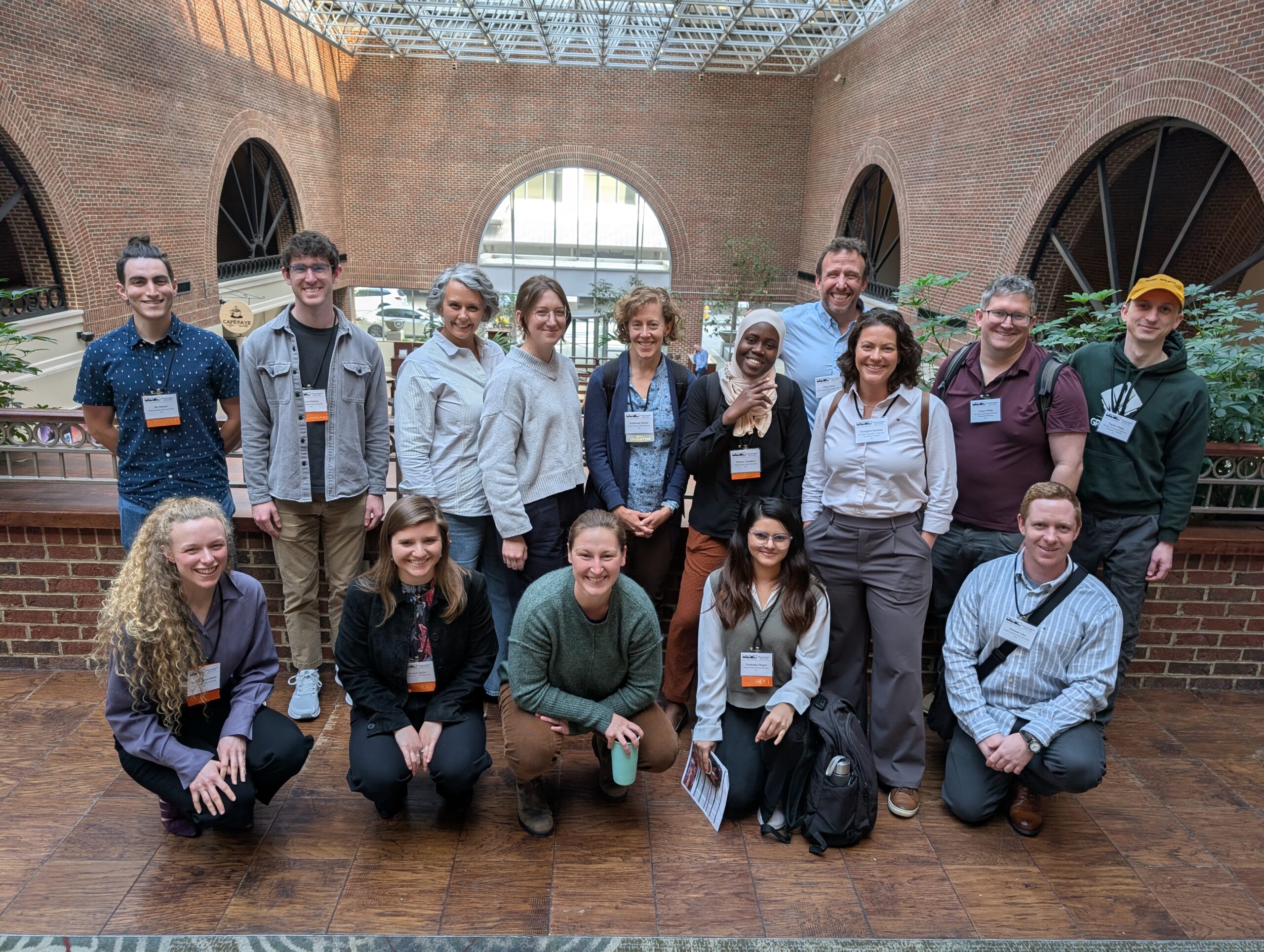
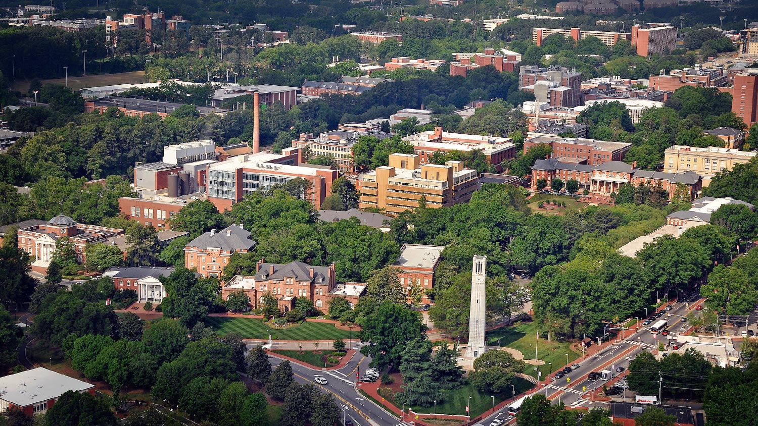
The Center for Geospatial Analytics is housed in the College of Natural Resources, but our faculty fellows and other scholars are drawn from across NC State; we’re home to an interdisciplinary community of more than 40 researchers and educators who span seven of the university’s colleges and over a dozen of its academic departments. At the center we are eager to tackle any problem where geospatial analytics might present a solution.
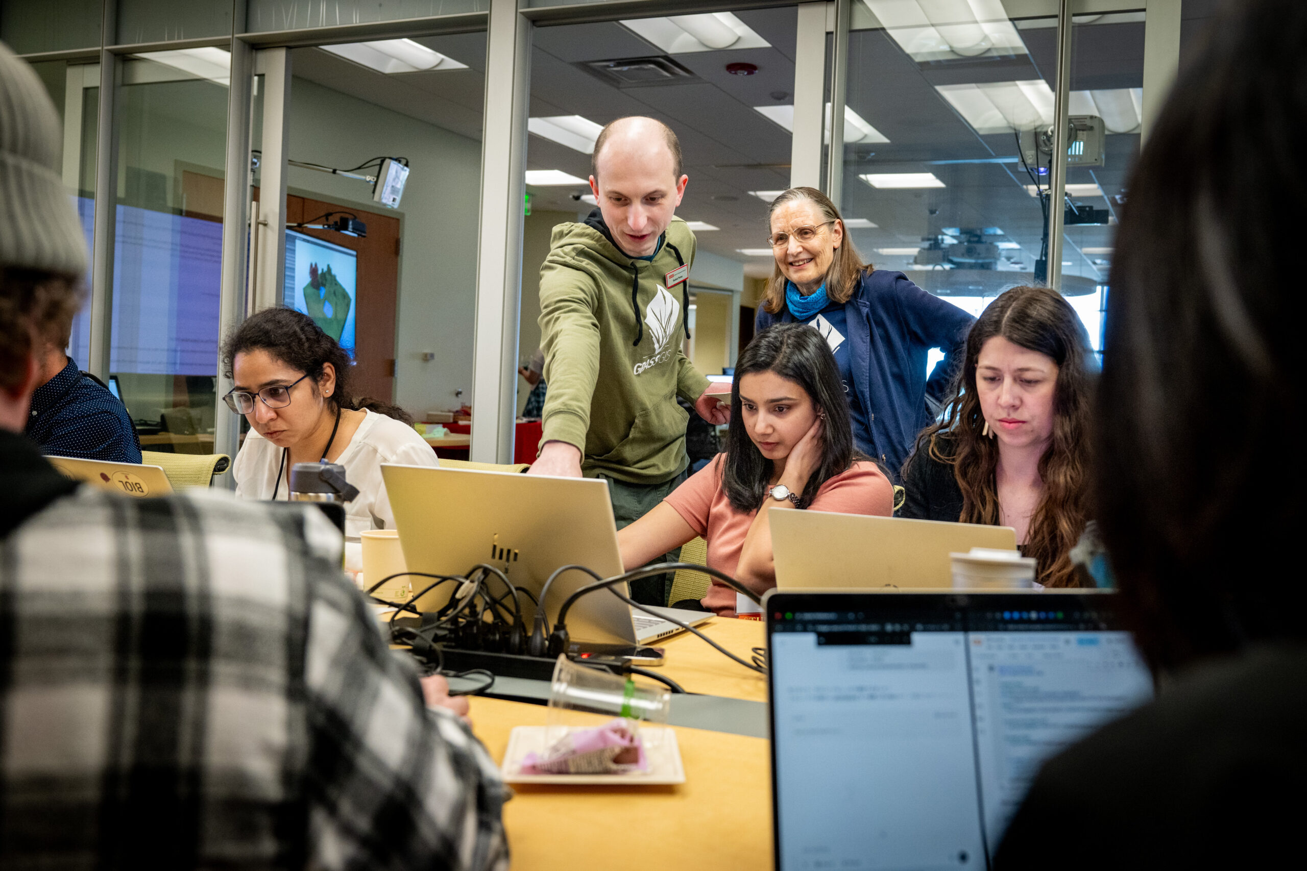
More than 250 students are currently enrolled in our graduate education offerings, which include a doctoral degree, professional science master’s program and a graduate certificate. The center also serves as the intellectual and technological hub for the pioneering Geospatial Analytics faculty cluster, part of the nationally recognized Chancellor’s Faculty Excellence Program at NC State.
We are leaders in geospatial science and technology development and recognized as research and education pioneers. The National Geospatial-Intelligence Agency and U.S. Geological Survey designated us a Center of Academic Excellence in the Geospatial Sciences. We are one of the six founding nodes of the global GeoForAll network, established by the OSGeo Foundation; the network currently includes over 100 laboratories dedicated to open principles in geospatial science, software and data. Our geospatial technology development achievements have been recognized by our induction into the Esri Innovation Program, a recognition awarded to only 22 locations worldwide.