A Wonderful Experience Presenting at My First Academic Conference
Editor’s note: Each semester, students in the Geospatial Analytics Ph.D. program can apply for a Geospatial Analytics Travel Award that supports research travel or presentations at conferences. The following is a guest post by travel award winner Mark Feinberg as part of the Student Travel series.
Recently, I had the opportunity to present my research at the International Association for Landscape Ecology (IALE) conference. This was a relatively small conference that took place in Oklahoma City, OK. I was able to learn about a diverse array of research topics, from land change to invasive species management. I was also able to meet and form connections with many different researchers in national laboratories and academia. This was my first ever academic conference, and I was filled with excitement to meet new people and to showcase my work.
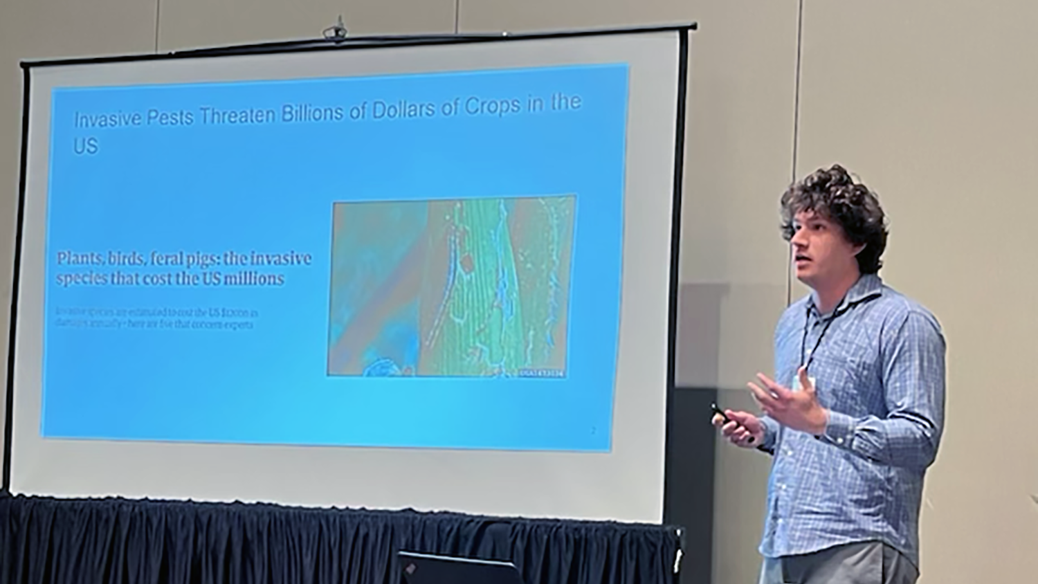
The research that I presented at the conference focused on how accounting for crop susceptibility to damage from the spotted lanternfly affected the monetary value of crops saved by pest management. The spotted lanternfly (SLF) is an invasive insect that feeds on and destroys a wide variety of crops such as peaches, grapes, raspberries and hops. SLF is predicted to spread from the eastern US to California by 2033, where the majority of susceptible crops in the country are grown. The spread of SLF is mitigated by management, which includes surveying counties for SLF and spraying pesticides to eliminate them. One substantial difficulty with SLF management is knowing which counties will see the most net benefits of using SLF management, meaning that the dollar values of crops saved by pest management will be higher than the financial costs of conducting the pest management.
The goal of our study was to see which counties would be optimal for SLF management when using different crop susceptibility datasets for peaches, grapes, raspberries and hops. The first susceptibility dataset was highly uncertain, formed from expert opinions. The second dataset was more certain, created by exposing different crops to SLF in a controlled environment and cataloging the damages. We combined these datasets with crops sales values and other parameters to form different SLF damage scenarios for the studied crops. For each damage scenario, we put the results into a pest management model that shows which counties will benefit most from SLF management. Overall, we found many of the same counties to be optimal for SLF management between the different damage scenarios. Our next steps are to put the management recommendations for each scenario into an invasive species spread model to show how management outcomes change when using different crop susceptibility data. We hope that our research can be used by pest managers to optimize invasive species treatments.
After my presentation, I received some excellent questions that made me think about my work in ways I hadn’t previously. One such question was about how I would manage SLF if I were in charge of the management program, and I responded that I would be investing in the research that I am currently doing. This made me feel reassured that my work was going to have a positive impact on society.
In addition to being an excellent experience for professional development, this conference was also very fun. I had the pleasure of exploring Oklahoma City with other Center for Geospatial Analytics members and my advisor, and I now feel closer with them as a result. One of my favorite experiences was going to different restaurants around Oklahoma City with people in the Center with whom I had previously spent limited time. I would like to thank the Center for this opportunity to develop my personal and professional relationships, as well as showcase my work. I am excited for what future conferences hold.
- Categories: