From Satellites to Soil: Experiencing Scientist-Community Partnerships First-Hand
Editor’s note: Each semester, students in the Geospatial Analytics Ph.D. program can apply for a Geospatial Analytics Travel Award that supports research travel or presentations at conferences. The following is a guest post by travel award winner Isabella Hinks as part of the Student Travel series.
In April 2024, I had the privilege to travel to Sonipat, India, Vienna, Austria and Rome, Italy to present my work on a NASA-funded project and learn from other scientists and small-scale farmers who are central to my research. As a remote sensing scientist, I primarily use satellite data to monitor changes (such as planting dates) on small (<2 ha) farms amid climate changes. I used this trip to learn from scientists with diverse scientific and personal backgrounds to better understand how I can pair my remote sensing research with socioeconomic sciences to better support small farming communities in the face of climate change.
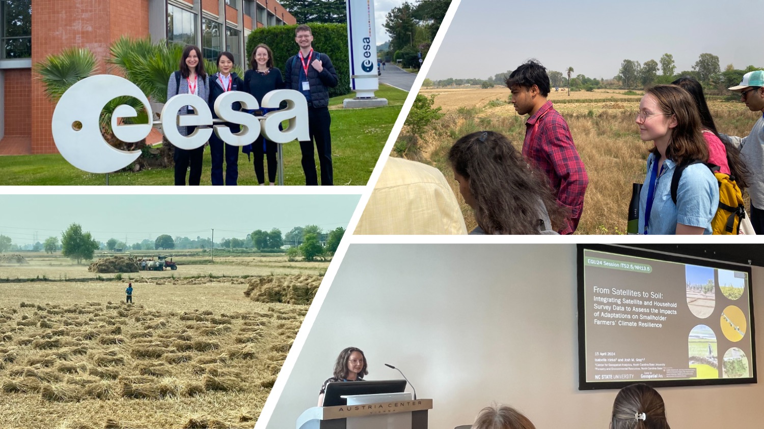
In the first leg of this trip, I attended the Synthesis Meeting on Scientific Foundations of Natural Climate Solutions in Tree Based Systems of Land Cover and Land Use Change in South Asia, hosted at Ashoka University in Sonipat, India. This meeting was part of a project funded by NASA’s South/Southeast Asia Research Initiative (SARI). SARI projects study the biophysical and socioeconomic aspects of land systems to gain a comprehensive view of interactions between people, their surrounding environment and the climate. This meeting was attended by scientists who use remote sensing, development economics or social, agricultural or political sciences to study trees outside of forests and small (< 2 ha) farms in South and Southeast Asia. I was eager to meet remote sensing scientists whose papers and books largely inspired my dissertation ideas, and learn from social and political scientists who view our shared research topics––trees outside of forests and small farms––from a completely different lens.
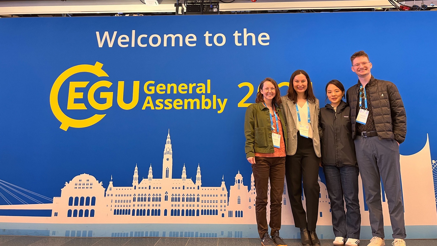
After the meeting in India, I flew to Vienna, Austria to attend the General Assembly 2024 of the European Geosciences Union (EGU) with my lab. My presentation, “From Satellites to Soil: Integrating Satellite and Household Survey Data to Assess the Impacts of Adaptations on Smallholder Farmers’ Climate Resilience,” was part of a session titled “Bridging natural and social sciences to study societal responses to extreme weather events.” Many of the presentations in this session centered around topics that cannot directly be “remotely sensed,” such as gender dynamics in agricultural households, or techniques that are not often paired with satellite data, such as text mining. I was fortunate to attend a dinner with the other speakers, in which we asked each other questions, shared data and planned future collaborations that may not have occurred if the session had not been interdisciplinary.
Finally, my labmates and I flew to Rome, Italy to present our research to research fellows at the European Space Agency’s Centre for Earth Observation, where our advisor, Josh Gray, is on sabbatical. Though the researchers have strong backgrounds in Earth observation data and analysis, they span a broad array of application topics, from oceanography to grasslands. This made our discussions productive and thought-provoking, using our distinct knowledge bases to generate new ideas and suggest novel techniques to overcome each other’s research obstacles.
Though remote sensing scientists can monitor many changes on Earth’s surface, we cannot monitor changes that can’t be visually seen. I believe the value of applied remote sensing research is limited by our ability to contextualize it with what is happening on the ground––how real people are interacting with their environments and experiencing climate changes. This trip showed me how mutually beneficial collaborations between biophysical and socioeconomic scientists can be; diversity in knowledge, backgrounds and ideas can lead to more comprehensive findings and a better understanding of our changing world.
- Categories: