Spatial Data for Bees: Attending the Ecospatial Summit

Editor’s note: Each semester, students in the Geospatial Analytics Ph.D. program can apply for a Geospatial Analytics Travel Award that supports research travel or presentations at conferences. The following is a guest post by travel award winner Gwen Kirschke as part of the Student Travel series.
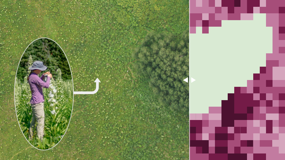
In October, I had the opportunity to attend the Ecospatial Summit at Penn State University, where researchers from universities and government agencies gathered to discuss the use of spatial data for bee management and conservation. This summit centered around the Beescape tool, developed at Penn State, which uses a combination of public datasets and new methods to provide beekeepers, farmers, and other managers with scores of the quality of bee habitat surrounding their sites. I contributed a short presentation about my current research, which combines on-the-ground measurements with aerial imagery to make detailed maps of the availability of floral resources (nectar and pollen) upon which bees depend for all of their food.
From the moment that I first heard about this meeting, I was very excited to meet and learn from other researchers working at the same intersection of spatial data and bee conservation that I am focusing on. I had great discussions at lunch and dinner with other graduate students about the relationships between our work. I was also approached after my talk by a researcher asking for feedback on nectar sampling methods for an upcoming project, based on my extensive past experience sampling nectar. I am excited to maintain these connections and to potentially collaborate with these people in the future!
Every talk at the summit felt directly relevant to my research, and I took many notes on methods, datasets, and results that I hope to incorporate into my projects. Some speakers also identified gaps in existing datasets, particularly higher resolution map products and information about urban ecosystems—these are exactly the areas I am focusing on during my PhD. Attending this meeting reaffirmed that my current work is providing timely additions to this space. I look forward to contributing to the great work being done to bring insights from spatial data to bees!
- Categories:


