Exploring Urban Flood Mapping at AGU 2024

Editor’s note: Each semester, students in the Geospatial Analytics Ph.D. program can apply for a Geospatial Analytics Travel Award that supports research travel or presentations at conferences. The following is a guest post by travel award winner Rebecca Composto as part of the Student Travel series.
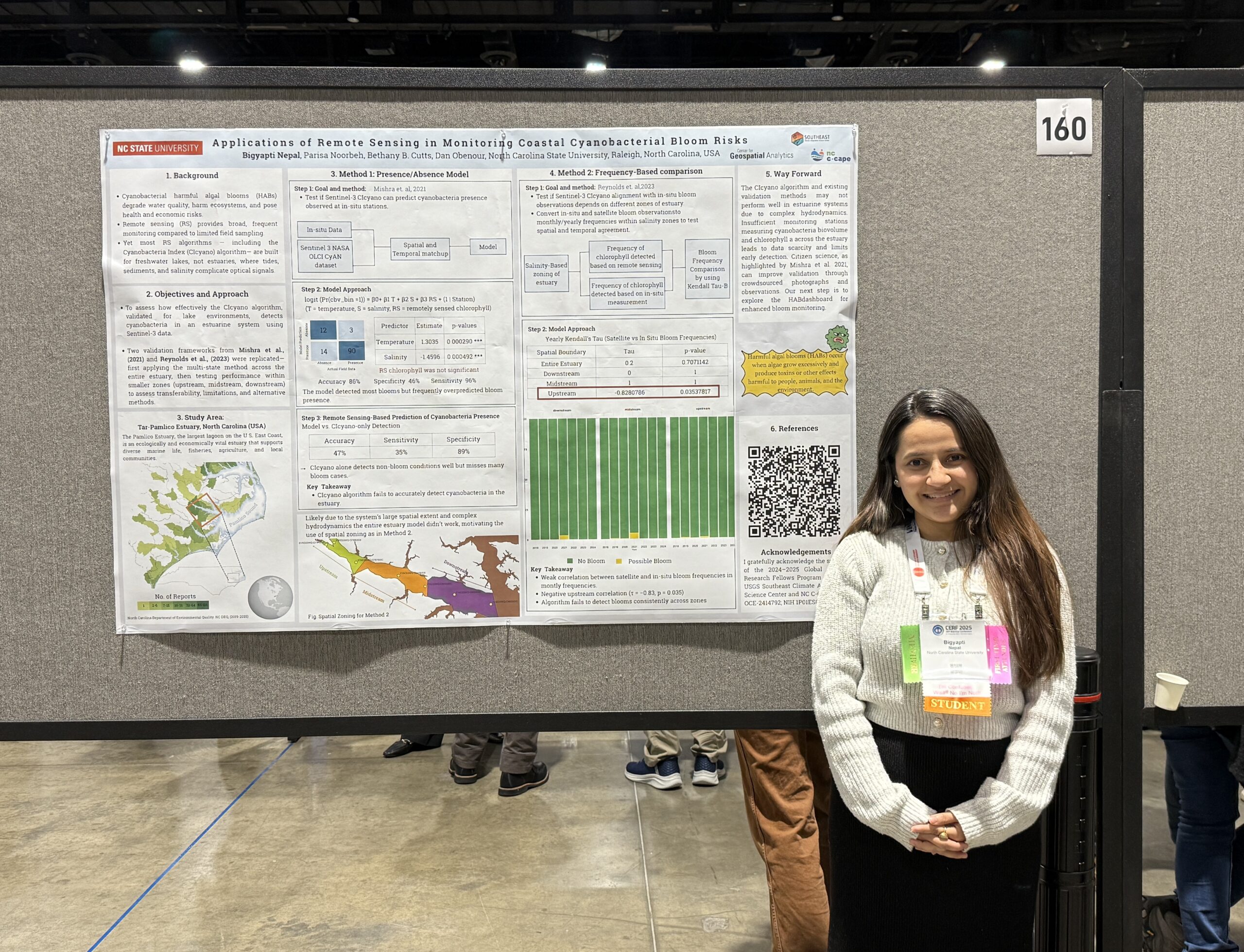
The American Geophysical Union (AGU) Fall Meeting is an incredible onslaught of information. At the end of only five days, several pages of my notebook were filled with miscellaneous insights, datasets and emerging ideas. Running around between different floors and rooms of the conference center, I engaged with a wide range of topics, ranging from open science to education to hydrology to deep learning and more. I heard from leaders not just in academia, but also the private, public and nonprofit sectors. I learned about many exciting new projects, including Google’s flood prediction website, FEMA’s (Federal Emergency Management Agency) latest version of the National Risk Index and an AI generated chatbot for asking climate-related questions.
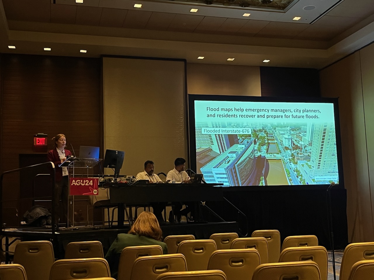
During AGU, I not only absorbed information but also shared my research published in Natural Hazards and previewed the next steps. My research focuses on using satellite- and process-based models to map urban flooding. The first chapter of my dissertation focuses on mapping Hurricane Ida flooding in Philadelphia, Pennsylvania and surrounding counties. You can explore how this flood event intersects with FEMA flood zones, roads and other critical infrastructure on this interactive dashboard. For more background information on how machine learning can be leveraged to map floods, check out this segment on CBS17.
The second chapter of my dissertation focuses on comparing satellite- and process-based flood mapping methods in urban areas. One of the joys of AGU is hearing directly from the scientists whose work and tools I regularly reference. In the poster hall, I explored the flood modelling research happening in Dr. Sagy Cohen’s Surface Dynamics Modeling Lab. I I had the opportunity to engage with him and his students about the flood depth tool that I am using for the second chapter of my dissertation. Additionally, I connected with flood modelers in the private sector, laying the groundwork for potential future collaborations. The ideas, conversations, and feedback that I received at AGU will be directly incorporated into the second chapter of my dissertation.
Since Washington D.C. is home to the headquarters of many federal agencies, this year’s AGU provided a unique opportunity to interact with a high concentration of federal employees. I explored the exhibition hall, where several agencies had booths, and gathered valuable information on graduate student opportunities and the agencies’ strategic priorities. I spoke directly with representatives from agencies such as NASA, USAID, and FEMA, which led me to attend more talks hosted by these agencies, where I learned about their ongoing projects, tools and long-term goals. My time spent at AGU had the gears in my head turning, and I am now more inspired than ever to integrate the ideas and feedback I gathered into my own work.
Acknowledgements: Thank you to Dr. Mirela G. Tulbure, Dr. Julio Caineta, Varun Tiwari and Mollie D. Gaines for the work on this project. Thank you also to NC Space Grant and USGIF, along with CGA for funding.
- Categories:


