
Megan Skrip

shaded_all_bright_ortho - Center for Geospatial Analytics at NC State University

Oct 29, 2020

First Official Version of PoPS (Pest or Pathogen Spread) Model Released

Developers at the Center for Geospatial Analytics have announced the first stable release of the Pest or Pathogen Spread model (PoPS 1.0), the Center’s signature open source system for forecasting the spread of insect pests and disease and for testing control strategies.

Vaishnavi Thakar

Oct 20, 2020

Meet Vaishnavi Thakar, Our Center’s Newest Assistant Teaching Professor

Assistant teaching professor Vaishnavi Thakar teaches a core course in our MGIST program, develops new courses, studies the spatial spread COVID-19 and is shaping the Center’s growing undergraduate offerings. 

a grower collects data in an agricultural field

Sep 28, 2020

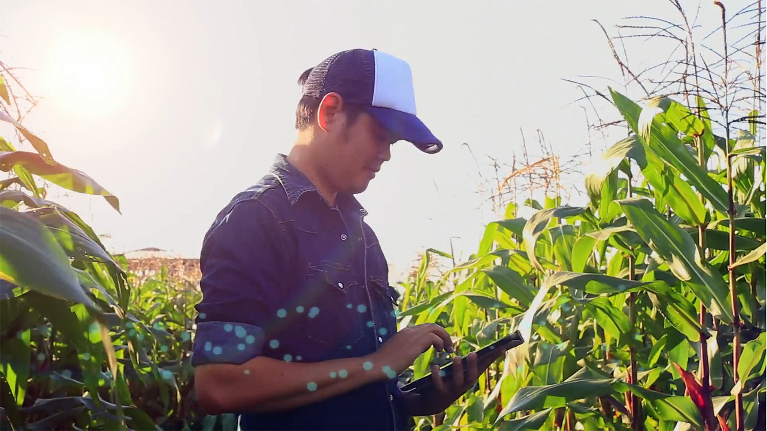
Protecting Our Future Food Supply with AI and Geospatial Analytics

In partnership with Lenovo, Associate Director of Spatial Computing and Technology Raju Vatsavai is applying artificial intelligence (AI) and deep-learning algorithms to the problem of global crop monitoring with the hopes of “optimizing the needs of future populations.”

collage of students on Zoom

Sep 7, 2020

“I Use Geospatial Analytics To…” Part III

Curious about what our newest Geospatial Analytics Ph.D. students work on for their dissertations? Check out how they and their advisors use geospatial analytics to impact a range of fields.

Josh Gray

Sep 1, 2020

Faculty Profile: Josh Gray

Faculty Fellow Josh Gray advises or co-advises four students in the Center's Geospatial Analytics Ph.D. program and uses remote sensing to study how climate change will affect food and water security. Read more about his professional journey and his advice for undergraduate students.

Will Reckling pilots a drone custom-equipped to sample water

Aug 13, 2020

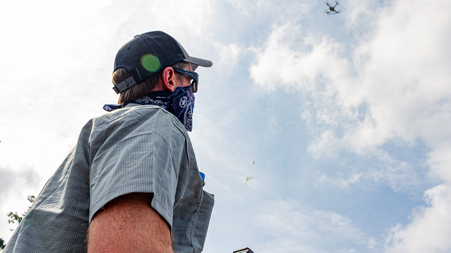
Taking Research with Drones to New Heights

NC State alum and current doctoral student Will Reckling is putting drones to work in new and unique ways to monitor the environment––from finding rare plants on the tops of mountains to mapping harmful algal blooms and even collecting water samples.

Nikki Inglis, center, greets guests at a Geospatial Analytics demonstration last year.

Aug 3, 2020

Graduate Mental Health

Geospatial Analytics Ph.D. student Nikki Inglis and others with the Graduate Mental Health Alliance and the Graduate Student Association have produced a video series called "You Are Not Alone" to support graduate students' mental and emotional wellness.

The belltower in spring with flowering trees in the foreground

Jun 24, 2020

Celebrating Student Achievements 2019–2020

This past year, our talented doctoral and professional master’s students at the Center for Geospatial Analytics have published articles, presented at conferences, mentored school groups, won awards and served their communities. Learn more about what they have been up to.

The NC State Belltower at dusk with colorful lights reflected around it

Jun 24, 2020

Celebrating Faculty and Staff Achievements 2019–2020

The 2019-20 academic year was packed with achievements by our faculty fellows, research associates, staff and postdoctoral scholars. Learn more about the awards, popular press coverage and speaking engagements earned by our talented group of researchers.

map of free vs. slave US states in 1861

Jun 19, 2020

Diverse-Aware: The Celebration of Juneteenth

Learn the history of Juneteenth in this message crafted by Faculty Fellow Stacy Nelson and transformed into a story map by Research Technologist Makiko Shukunobe.