
Megan Skrip

Jelena Vukomanovic with students

Feb 26, 2020

2020 TRELIS Fellows Announced

The TRELIS project is a professional development program for women educators in the geospatial sciences. Faculty Fellow Jelena Vukomanovic has been accepted into the 2020 cohort.

Katie McQuillan

Feb 21, 2020

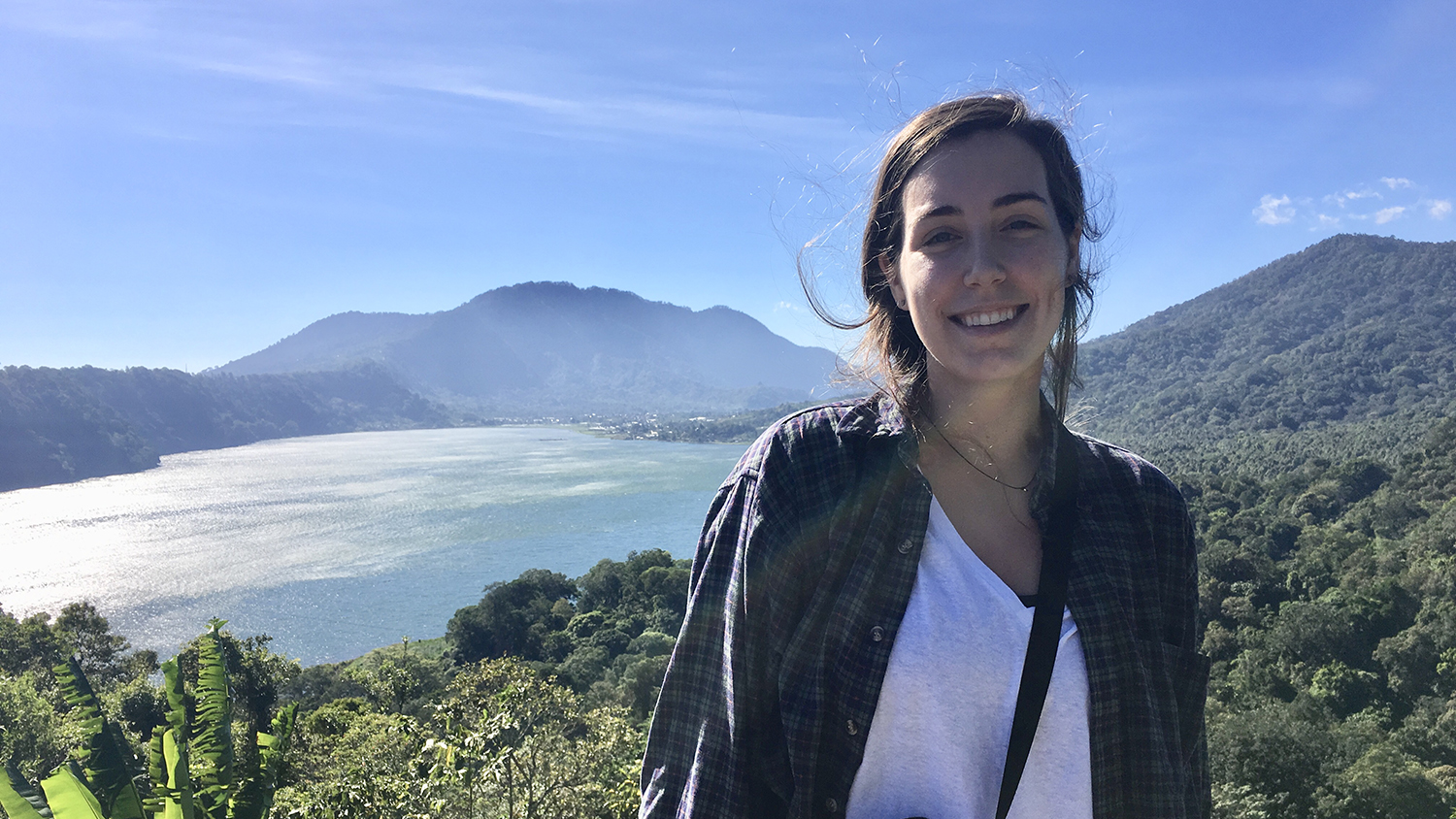
SECASC Researcher Spotlight – Katie McQuillan

Every year, the Southeast Climate Adaptation Science Center funds a multi-disciplinary cohort of Global Change Fellows. Catch up with 2019-2020 fellow and Geospatial Analytics Ph.D. student Katie McQuillan to learn more about her research into forest water dynamics.

Umesh Gupta presents at Converge 2019

Feb 13, 2020

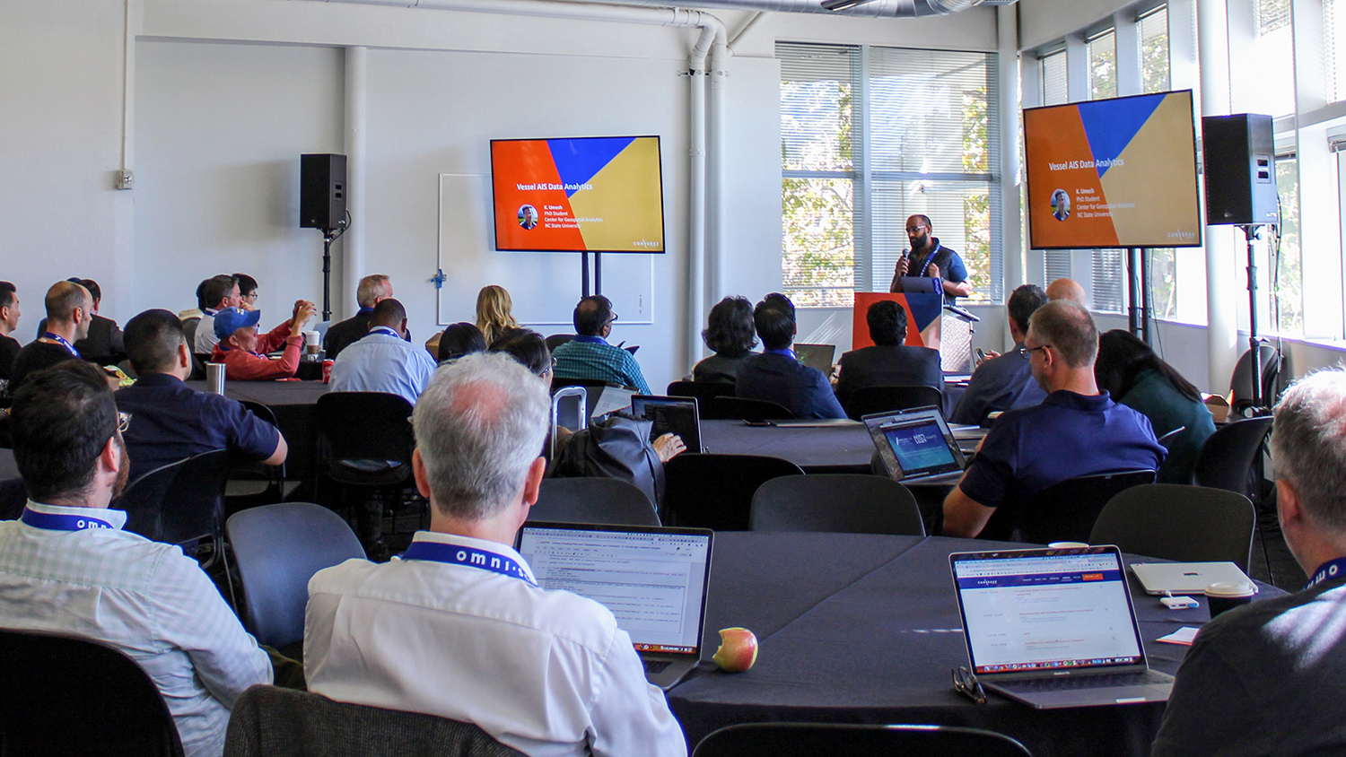
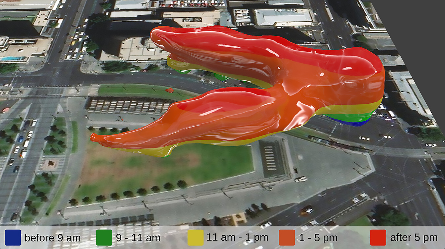
Visual Analysis of Ship Data Using Omnisci Immerse

Geospatial Analytics Ph.D. student Umesh Gupta was invited to speak at Converge 2019, the inaugural conference organized by the company Omnisci, about his award-winning work mapping big data from ships.

color-coded map of species presence

Feb 12, 2020

Making Mapping and Modeling More Accessible

Geospatial Analytics Ph.D. student Nick Kruskamp won an Outstanding Student Presentation Award at the American Geophysical Union 2019 Fall Meeting. Learn more about his conference experience and how his host mapping research seeks to make data sharing more open.

Megan Coffer stands with her research poster

Feb 3, 2020

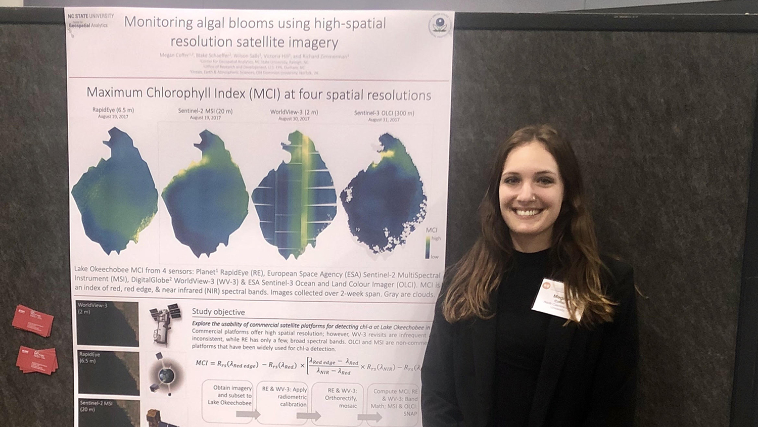
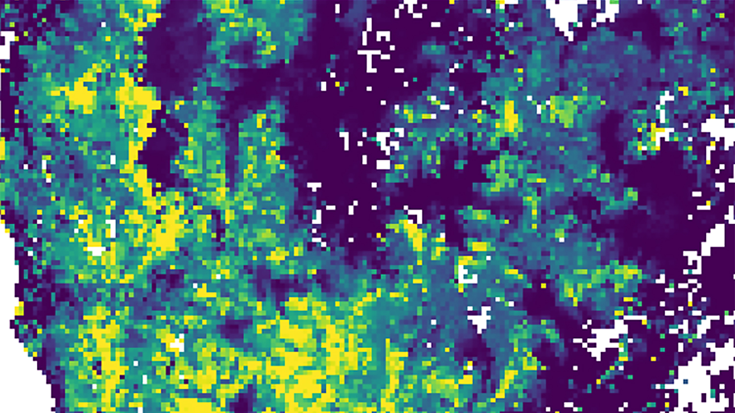
Tracking Tiny Organisms Using Big Data

Geospatial Analytics Ph.D. student Megan Coffer has developed a first-of-its-kind workflow for processing data from commercial satellites, which will advance understanding of large-scale cyanobacterial blooms.

Shannon Ricci

Jan 30, 2020

Remote Sensing and the Science of Sound

Does boat noise bother fish? Geospatial Analytics Ph.D. student Shannon Ricci is innovating the detection of small boats in satellite imagery to better understand the impacts of maritime traffic on underwater soundscapes.

a scenic drive through forests with golden autumn color

Jan 15, 2020

Fall Colors and Climate Change: How Rising Temperatures Might Shift Colorado’s Season of Gold

Geospatial Analytics Ph.D. student Nikki Inglis is combining geospatial models to predict where aspen trees might grow––and provide stunning roadside views––over the next 100 years.

3D render of a landscape

Jan 14, 2020

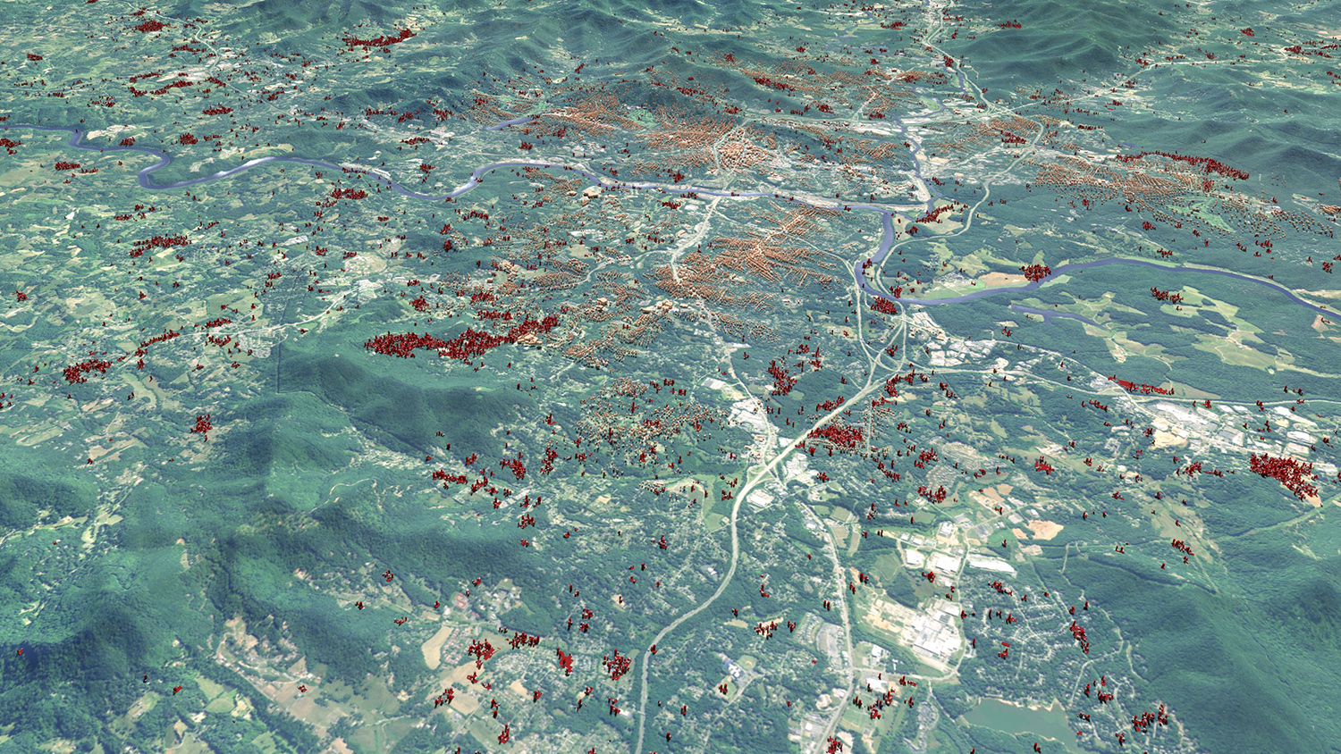
Urban Growth Model FUTURES 2.0.0 Released
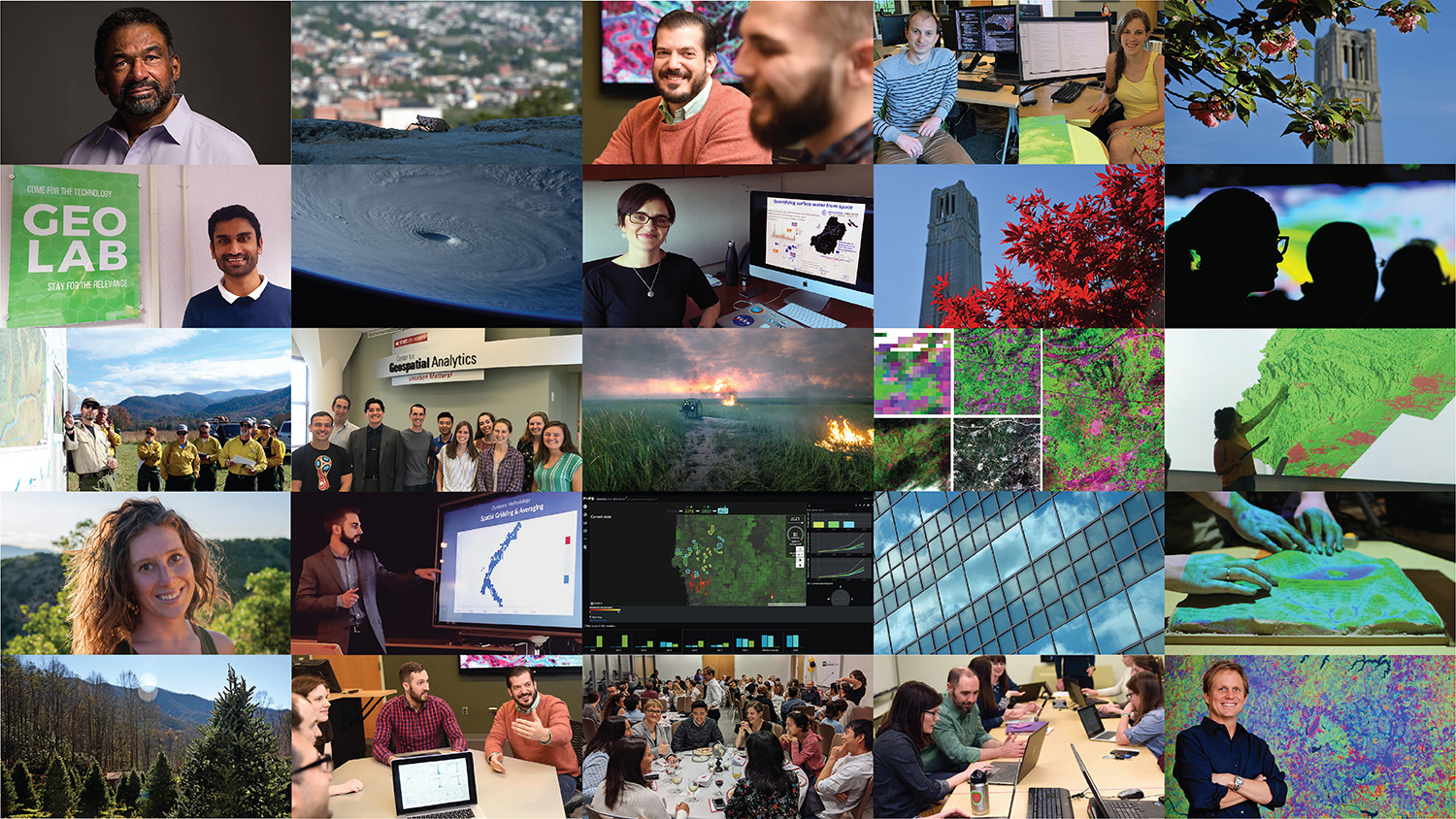
Developers at the Center for Geospatial Analytics have released the newest official version of the center’s signature open source software for modeling urban growth: FUTURES 2.0.0.

collage of images from 2019 news stories

Jan 13, 2020

2019 Year in Review

At the Center for Geospatial Analytics, 2019 was a very busy year! Check out the top ten most popular news posts from 2019.

3D visualization of foot traffic through a public plaza

Jan 10, 2020

Making Spatial Sense of Public Webcams

Newly published research presents a new method to extract spatial information from public webcams and visualize foot traffic in cities. Its imagery won a first place honor in NC State's 2018 Envisioning Research contest.