Taking Research with Drones to New Heights

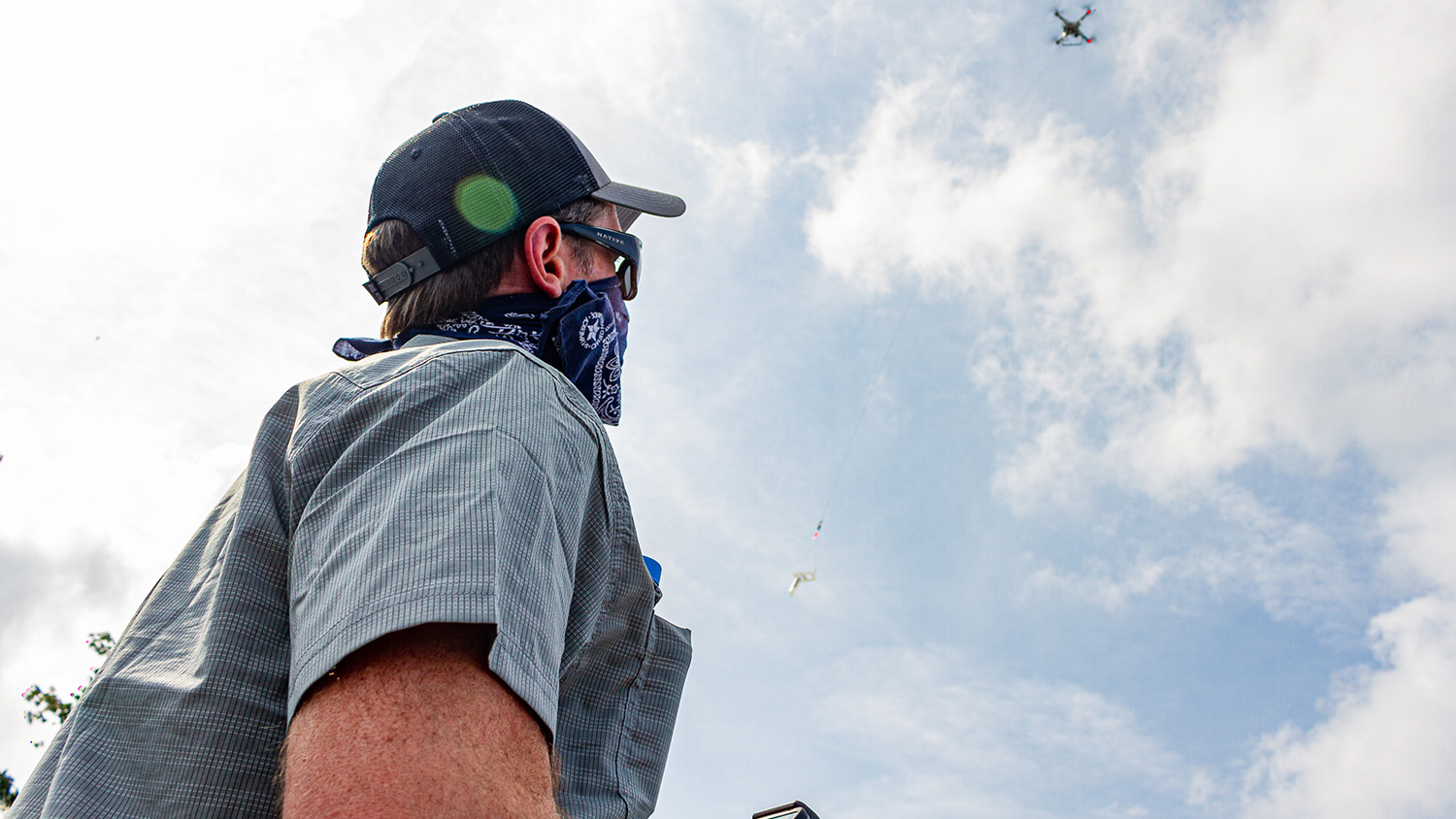
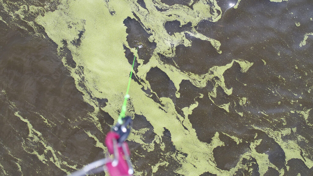
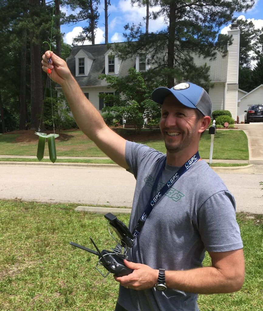
On a hot afternoon this past July, a small drone coursed through the summer sky over the mouth of the Chowan River, on a mission…for science. Its pilot, Will Reckling, hovered the craft over a patch of greenish water he’d previously mapped with the drone’s onboard camera and slowly lowered it towards the water’s surface, just far enough for a mesh harness dangling twenty feet below the rotors to fill a plastic tube with water. In a matter of minutes, Reckling had successfully done what it would have taken hours to do by boat (and more obtrusively too): collect water to study harmful algal blooms.
Reckling is a doctoral student in North Carolina State University’s Department of Marine, Earth and Atmospheric Sciences (MEAS) and an alum of the Center for Geospatial Analytics’ Master of Geospatial Information Science and Technology program (MGIST). He is also the Director of Geospatial Technology at Theorem Geo, and has spent much of his professional and academic career putting drones to work in new and unique ways.
At his job and as a doctoral researcher, Reckling has used drones to document rare plants on the tops of mountains, map harmful algal blooms and collect water samples to learn more about the toxic organisms that cause blooms. Drones are “the answer for all of these things,” Reckling says. Piloting a drone to sample from afar has not only improved the efficiency of his field work but has also improved the quality of the geospatial data he can collect: A satellite may pass over a particular place once a week (at most), but a drone’s onboard camera can capture environmental changes more frequently and in more detail.
Working with MEAS assistant professor Ryan Paerl, Reckling has been flying his drone both to find potentially harmful algal blooms and to sample them––double duty for the small craft that has generated “a hundred research questions.” “We’re learning so many things we didn’t know,” Reckling says. “Ryan’s been teaching me about the biology, and I’ve been teaching him about drones and image analysis.” Their collaboration has taught them both that future research opportunities abound by pairing laboratory analysis and sample collection with drones. “There is endless information coming out of this work.”

Connecting Work and Study
Before Reckling started his doctoral program, he already knew that drones held vast potential for environmental monitoring. At Theorem Geo, he has done “survey work with drones for a variety of clients,” he says.
“I’m not the typical twenty-something graduate student,” Reckling laughs. “I was already an expert in GIS [before starting at NC State]. I’d been doing GIS for a long time.”
Still, he enrolled in the Center for Geospatial Analytics’ MGIST program in 2015 to enhance his skills, and “I learned something new every class that was useful for my job,” he says. In 2016, using lessons he’d recently learned from a course he was taking, he created a web mapping application that helped a major utility navigate road closures during Hurricane Matthew. The web app is still in use today. “Every time there’s a storm, we fire that thing back up.”
The MGIST program “makes you more well-rounded as a GIS professional,” Reckling says. He particularly advises current and future students to use projects from their workplace in classes––to help connect lessons to real-world applications and because “it makes you look like a rock star at work.”
After graduating in December 2017, Reckling immediately started a Ph.D. program with Helena Mitasova, professor in MEAS and the Center for Geospatial Analytics’ associate director of geovisualization, as his advisor.
“I didn’t want to stop [learning, after the MGIST]. I still don’t, but we’re getting close,” he says, referring to his likely defense in December 2020. Simultaneously working full-time and pursuing a Ph.D. “is nearly impossible,” he laughs, “but it’s happening.”
Reckling is no stranger to a challenge. As part of a collaborative project with the US Fish and Wildlife Service and the US Forest Service, he flew a drone to map rare and threatened plants at the Roan High Bluff in the southern Appalachian Mountains––at an elevation of 6,267 feet. Flying his drone at this extraordinary height, Reckling found three previously unknown locations of an endangered plant restricted to mountaintops in the Southeast, and he earned a notable distinction: “I probably have legally flown a drone higher in North Carolina than most people,” he admits.
Reckling will undoubtedly continue to make extraordinary discoveries as he pushes the research potential of high-flying tech.

- Categories:


