New USDA-Funded Research Will Leverage Big Data and Machine Learning to Forecast Spread of Agricultural Pests

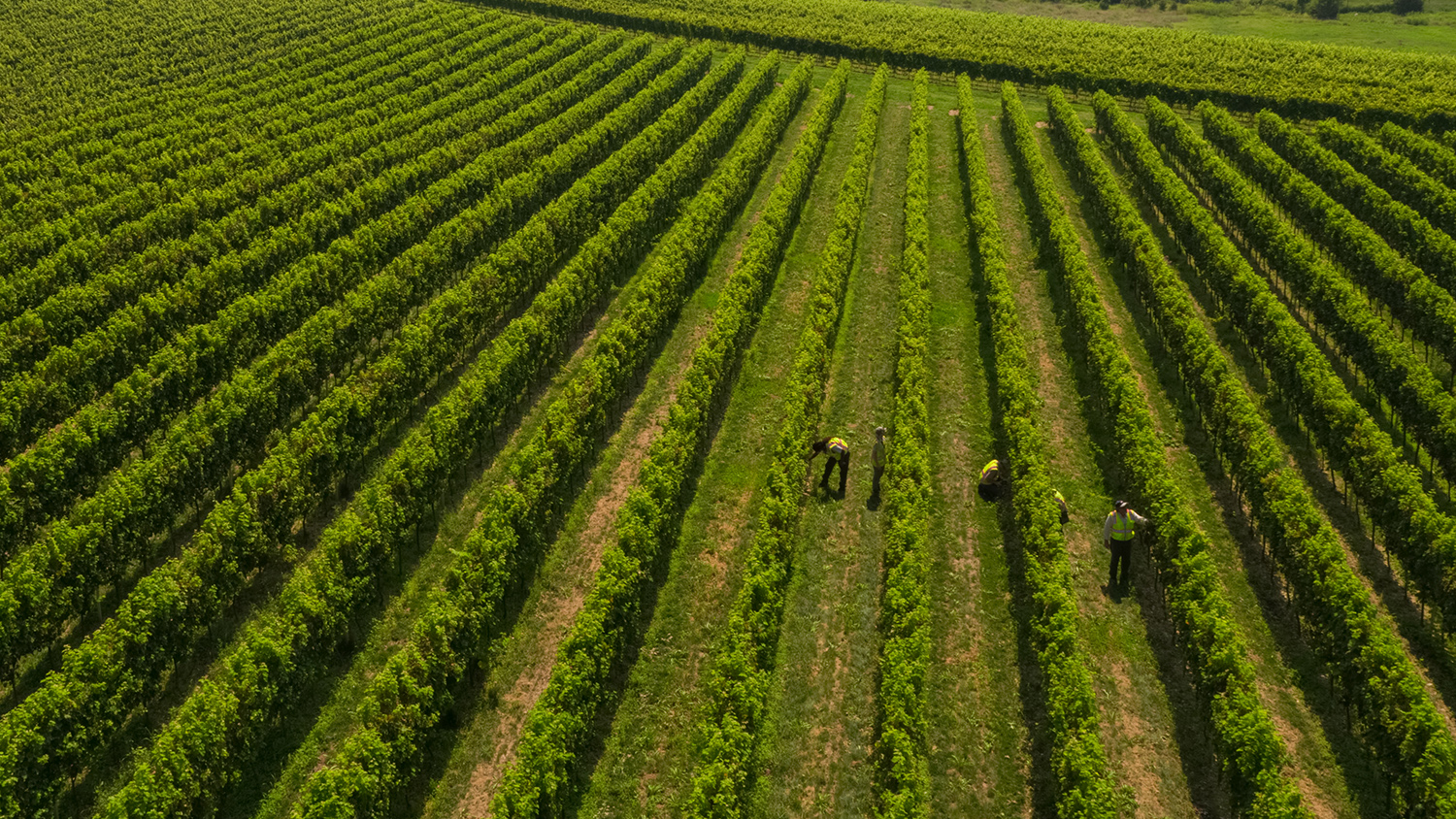
Agricultural crops are vulnerable to a range of diseases and insect pests that continue to spread, despite policies and practices aimed at controlling outbreaks. A new research project led by Center for Geospatial Analytics director Ross Meentemeyer and research scholar Chris Jones will improve rapid detection of pest threats, to guide more responsive, targeted crop protection. The work is supported by a five-year, $649,977 grant from the US Department of Agriculture’s National Institute of Food and Agriculture (USDA NIFA).
The new research will address data gaps that have previously hindered the accuracy, and rapid updating, of pest spread forecasts. Specifically, the research team will create an automated, repeatable process for continuously mapping the extent of susceptible crops, using crowdsourced data, satellite imagery and machine learning. These maps will then be used as part of the Center’s Pest or Pathogen Spread (PoPS) Forecasting Platform to generate continuously updated, near-term predictions of pest spread. These predictions will underpin a user-friendly alert system, ultimately helping growers to identify when and where to intervene to most efficiently protect their crops.
The Center’s research team will work closely with the USDA Animal and Plant Health Inspection Service (APHIS), USDA Agricultural Research Service (ARS), state departments of agriculture and growers associations to ensure that development of the new host maps, forecasts and alert system is informed by, and responds to, the needs of growers and regulatory agencies.
Development of the funded grant proposal was co-led by center research scholar Chelsey Walden-Schreiner, now a geospatial data scientist with the Patrick J. McGovern Foundation.
More information about the project objectives and approach is available in the full award announcement.


