
Megan Skrip

Teachers at GAPS explore geospatial applications

Sep 6, 2019

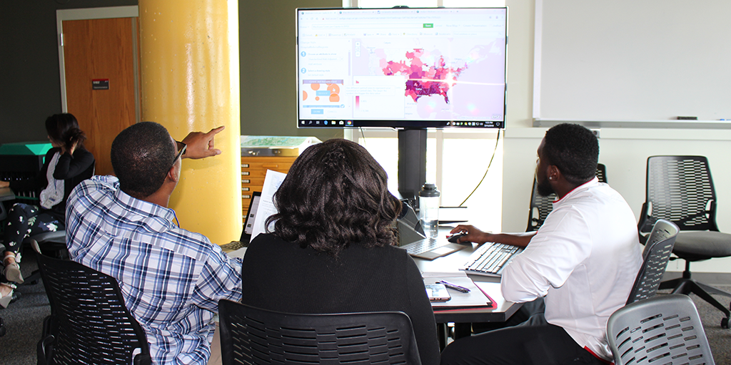
Local Teachers Train to Enhance Lessons with Geospatial Tools

The center's highly successful extracurricular program for high school students––GAPS (Geospatial Applications for Problem Solving)––expanded in Summer 2019 to offer its first workshop for teachers.

satellite imagery

Sep 5, 2019

New NASA-Funded Research Will Address Food Security and Climate Adaptation

New research led by faculty fellow Josh Gray will combine innovative approaches in remote sensing and on-the-ground interviews with farmers to help guide agricultural adaptation to climate change.

Nikki Inglis

Jul 30, 2019

The Art of Storytelling, with Geospatial Data

Geospatial Analytics Ph.D. student Nikki Inglis combines a background in journalism and geospatial science to tell important stories with big data. Her recent work reveals trends in wildland fire on National Park Service lands in Florida.

Fire managers gather around a map before a prescribed fire in the Appalachians

Jul 22, 2019

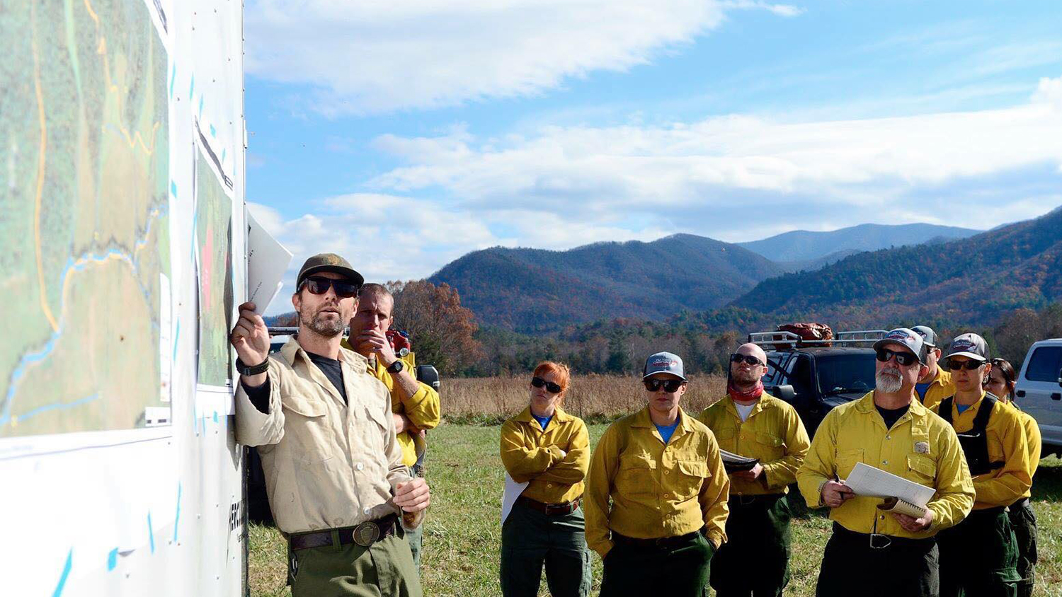
Where Fire is a Treatment, GIS Helps Prescribe It

Maps have always been essential to managing fires on public lands. New geospatial technologies go beyond paper maps to help federal agencies like the National Park Service treat and restore fire-dependent landscapes.

spotted lanternfly adult with town in background

Jul 15, 2019

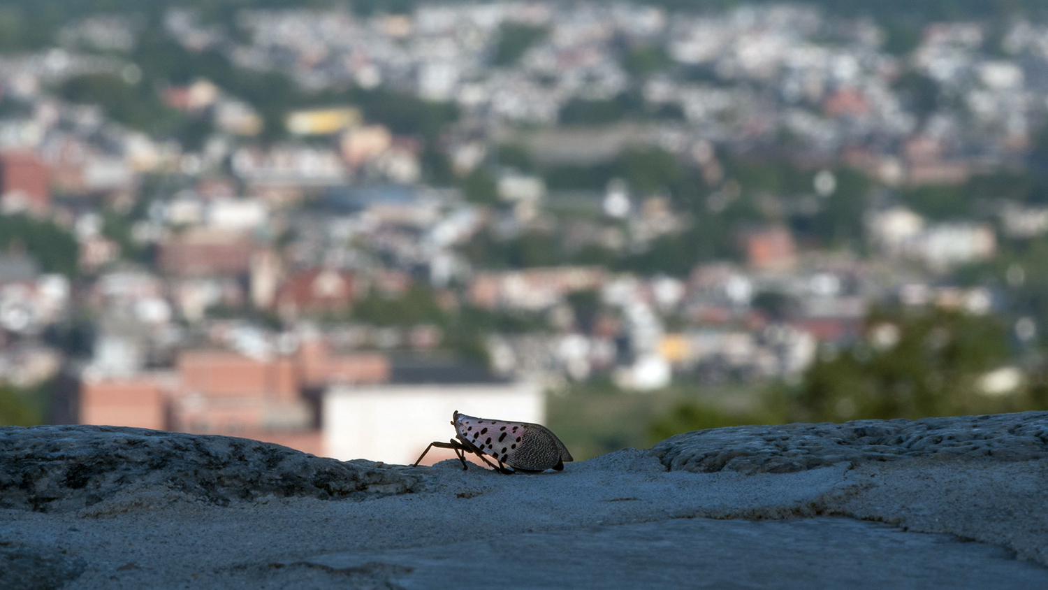
A New Way to Help Stop Insect Pests in Their Tracks

The spotted lanternfly is one of many invasive insect pests causing economic and ecological damage in the US. A new geospatial decision-support tool developed at NC State is helping managers to curb their spread.

historic photo from Shenandoah National Park of a scenic overlook

May 22, 2019

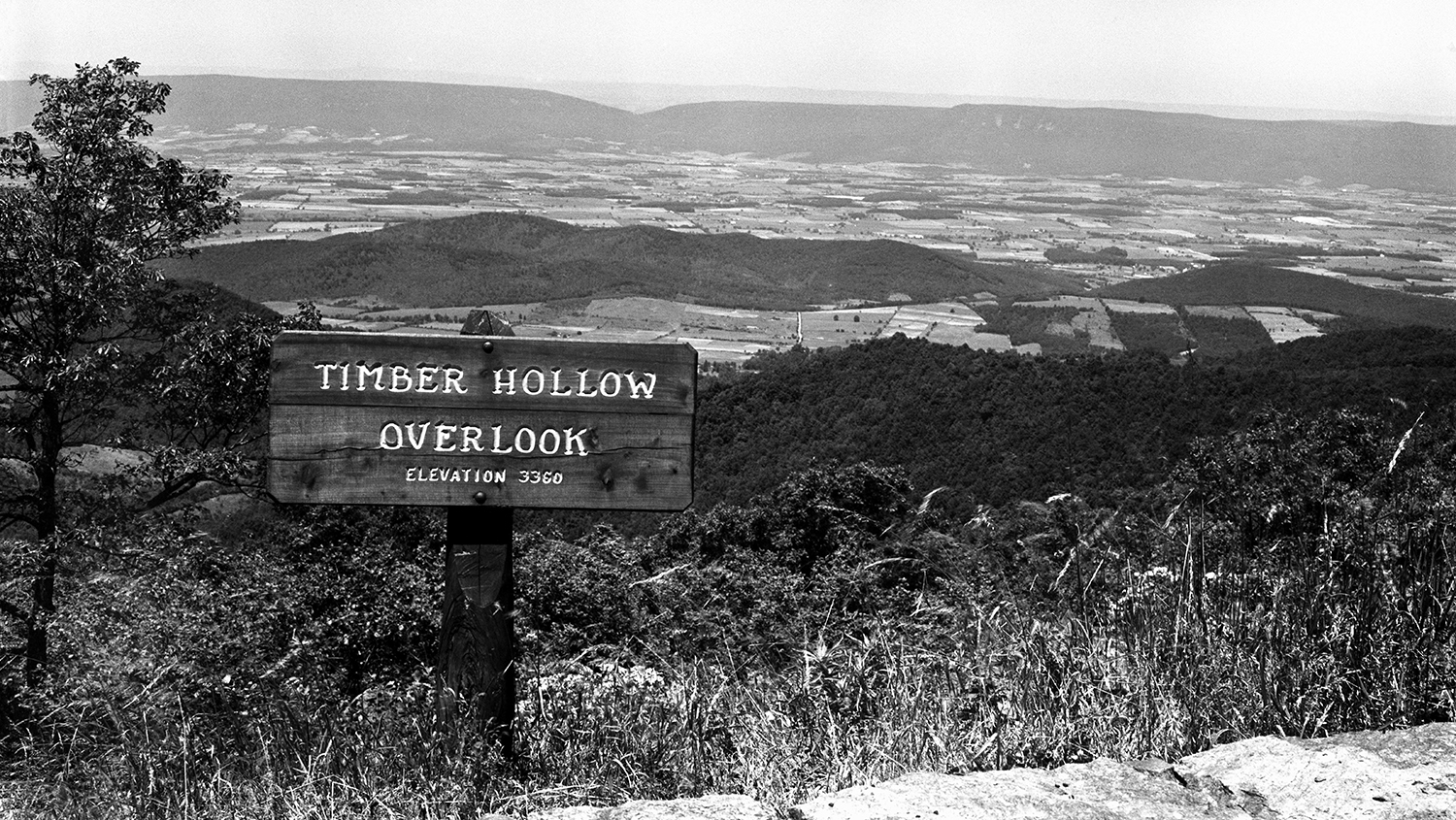
Shenandoah National Park Announces Launch of Interactive Map “Exploring Shenandoah National Park History – One Tract at a Time”

Discover historic photos, letters, land records and stories related to Shenandoah National Park––all in a newly launched web mapping application created by Center for Geospatial Analytics researchers and students.

Japanese Maple near the Belltower on North Campus off Hillsborough Street.

May 13, 2019

Celebrating Student Achievements 2018–2019

With another academic year drawn to a close, there is a lot to celebrate at the Center for Geospatial Analytics! Discover what our talented doctoral and professional master’s students have been up to over the past year.

Memorial Belltower and spring blossoms.

May 13, 2019

Celebrating Faculty and Staff Achievements 2018–2019

The 2018-19 academic year was packed with achievements by our faculty fellows, research associates, staff and postdoctoral scholars. Learn more about the awards, popular press coverage and speaking engagements earned by our talented group of researchers.

GIS 714 presentation (Nicole Inglis)

May 9, 2019

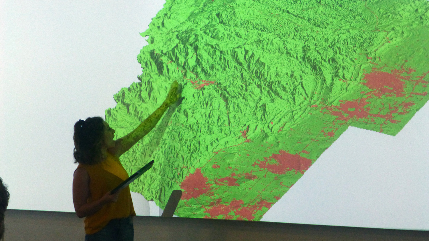
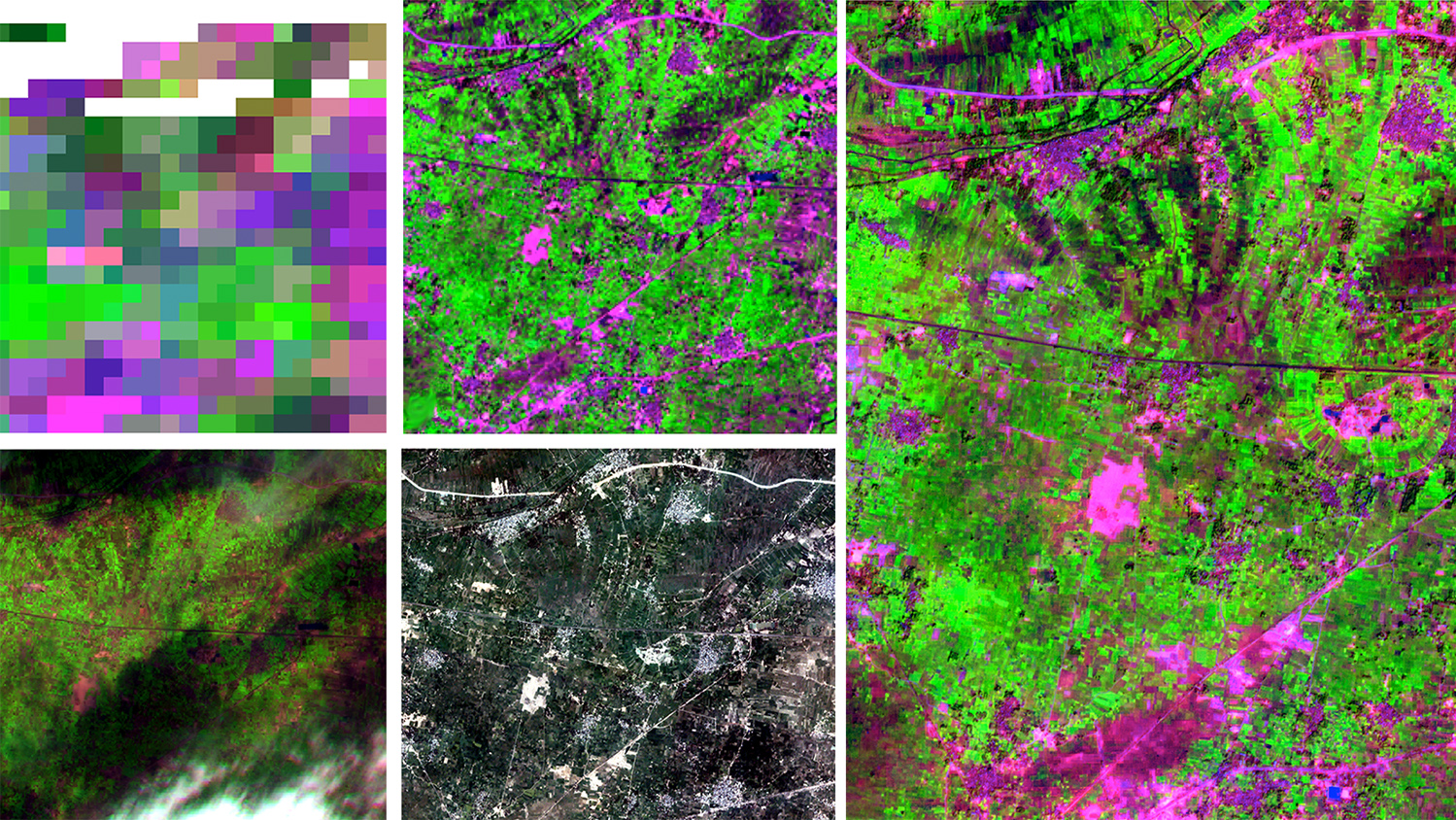
Image Gallery: Geospatial Analytics Ph.D. Student Course Projects Shine

As part of their required Geospatial Computation and Simulation course, our first cohort of Geospatial Analytics Ph.D. students developed unique class projects and presented them in Hunt Library during the last week of Spring classes.

NC State graduation

May 8, 2019

Congratulations to Our May 2019 Graduates!

At May graduation, 51 members of the Center for Geospatial Analytics community will be recognized for completing their graduate programs.