Megan Skrip

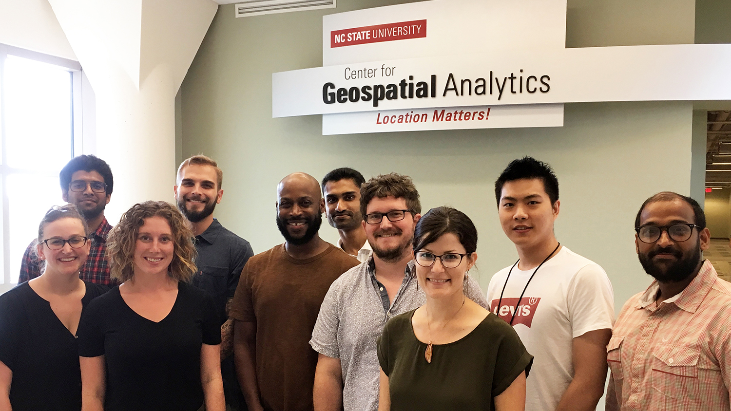
Center for Geospatial Analytics Seeking a Teaching Professor

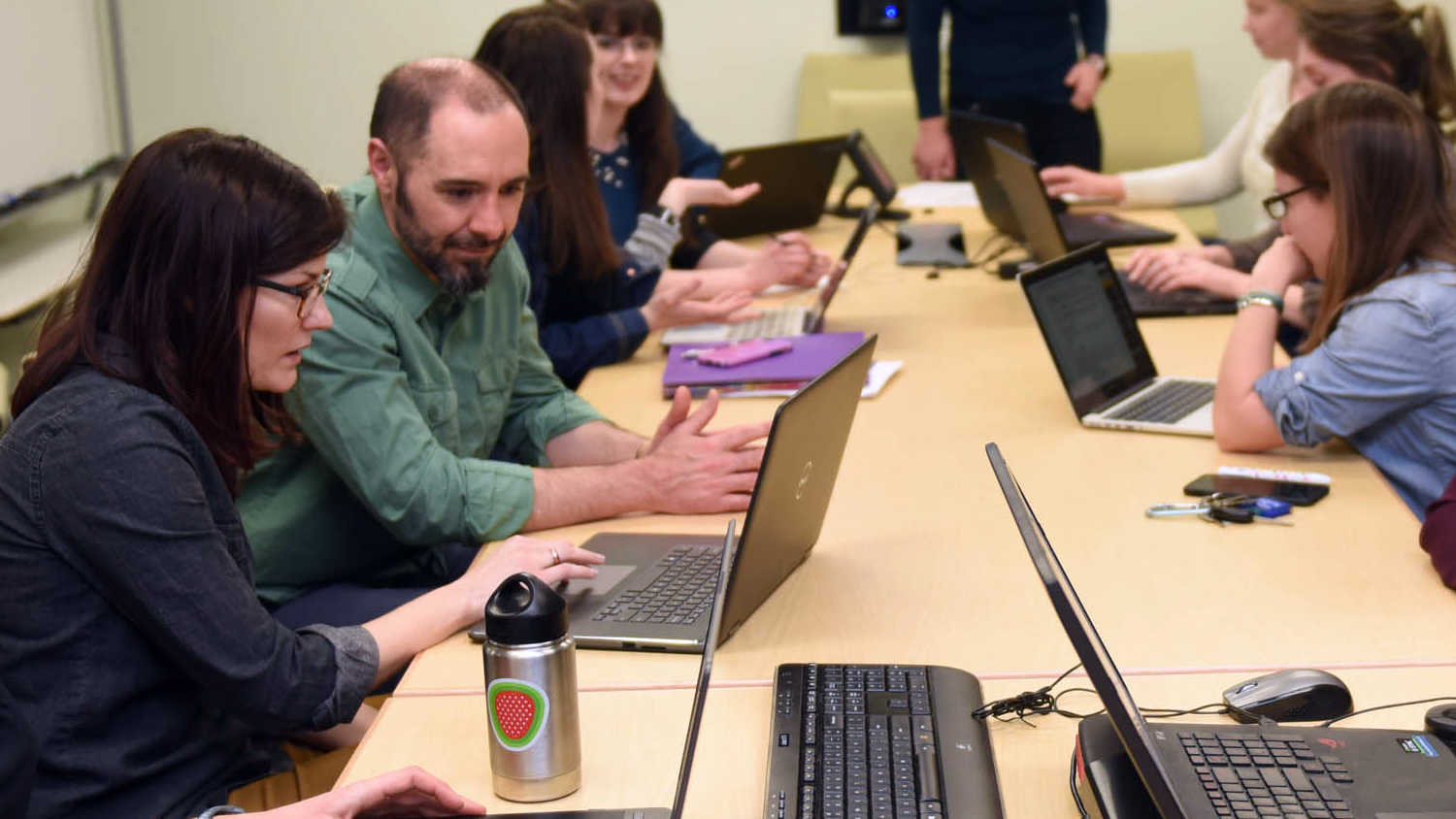
A Passion for Teaching and the Future of GIS
Student Travel: Making Remote Sensing Connections at AGU
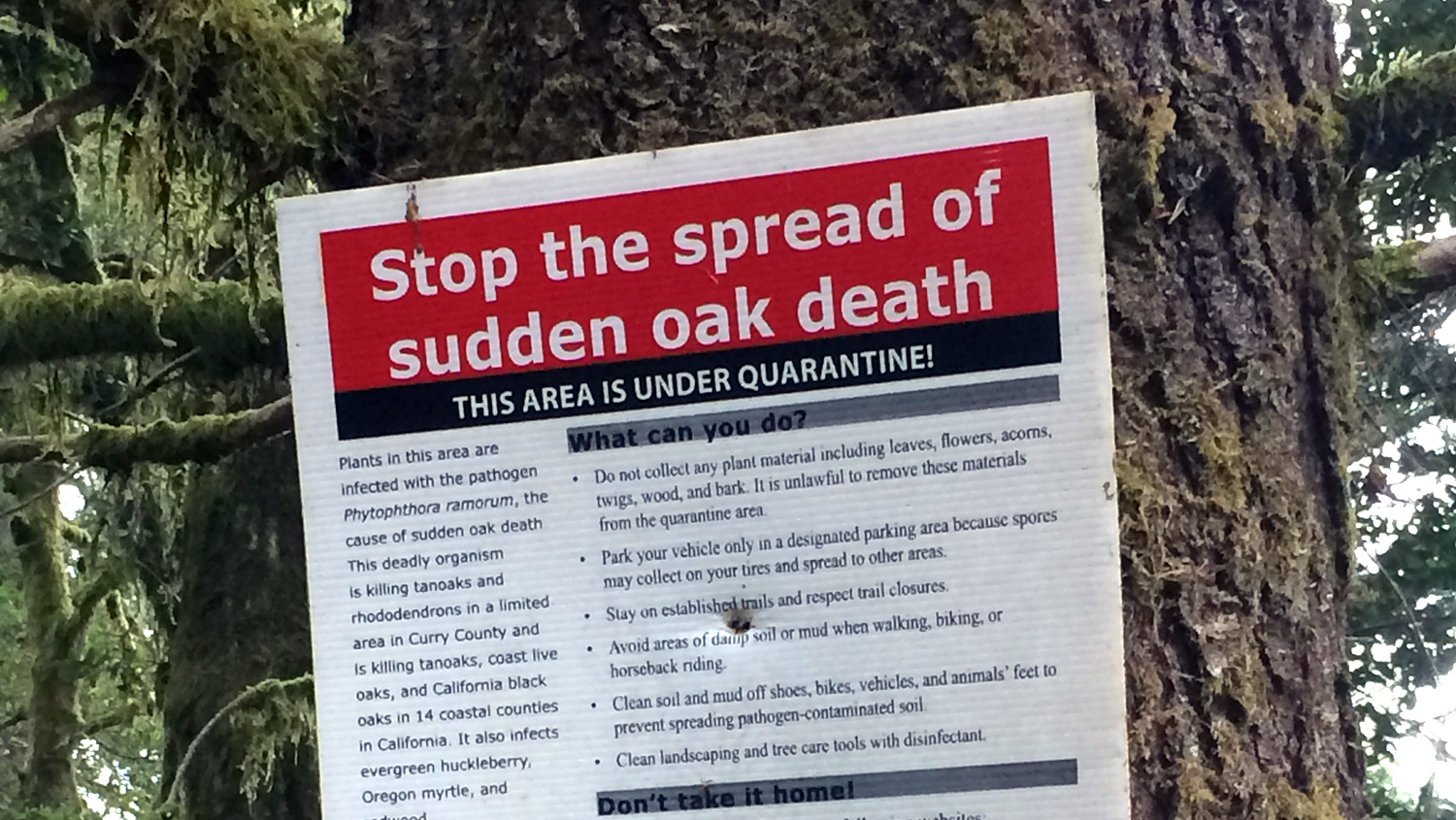
Student Travel: Rethinking Boundaries at the Human Dimensions of Wildfire Conference
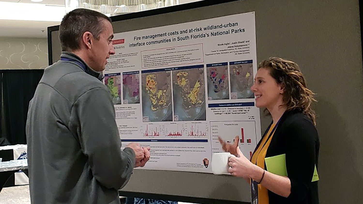
Student Travel: Delving into Precision Agriculture at AGU
Ph.D. Student Kellyn Montgomery Wins Herb Stout Student Award

Congratulations to Our December Graduates!
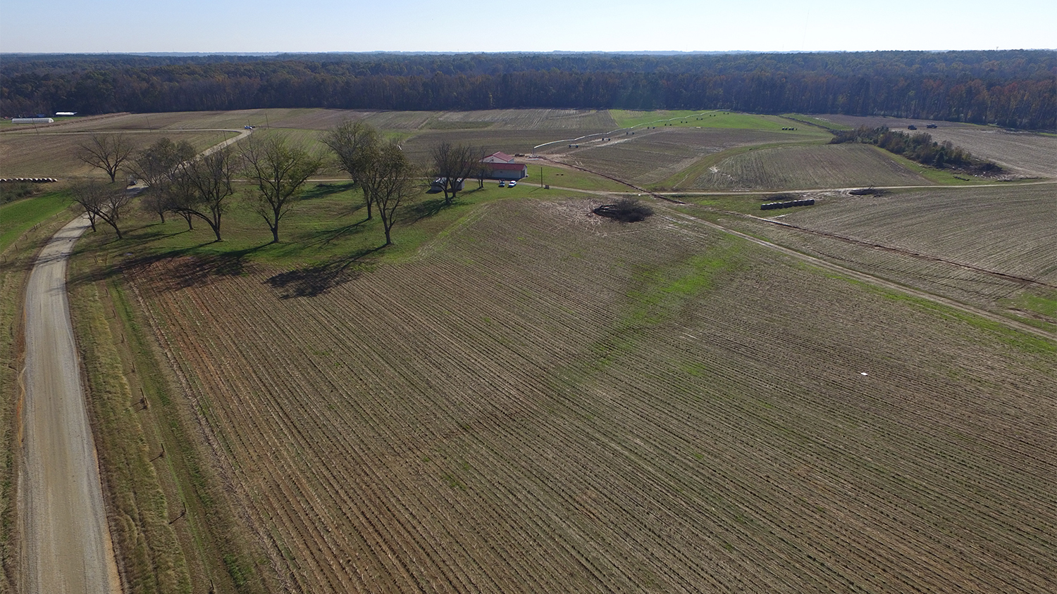
Real-World Problem-Solving with Custom GIS Solutions

Military Students Choose MGIST for Career Training in Geospatial Intelligence