
Megan Skrip

Students examine map data

Jan 19, 2018

Geospatial Analytics Faculty Cluster Seeks a Remote Sensing Scholar

As part of the Chancellor's Faculty Excellence Program, NC State University seeks a scholar in remote sensing to join the Geospatial Analytics cluster in an open rank tenured/tenure track position.

CALS student and sweet potatoes.

Jan 18, 2018

More Precision with Geospatial Analytics

With more and better location-specific data than ever before coming from sensors ranging from satellites to smartphones and drones, big data is changing the way the world does business. Geospatial analytics harness the power of big data for real-world problem-solving, in areas ranging from precision agriculture to public health.

NC State graduation

Dec 18, 2017

Congratulations to Our December Graduates!

At December graduation, 43 members of the Center for Geospatial Analytics community were recognized for completing their graduate programs.

map of US from carved wood

Dec 15, 2017

Partnerships in GIS Service Learning

During their final semester, each master’s student in Geospatial Information Science and Technology completes a service-learning capstone project, working directly with a community or industry partner. This season, we celebrate the work of our December graduates.

Devon Gaydos

Dec 13, 2017

Ph.D. Student Devon Gaydos Named a Global Change Fellow

The Southeast Climate Science Center has awarded Ph.D. student Devon Gaydos a Global Change Graduate Fellowship for Spring 2018, recognizing her cutting-edge work and supporting her professional development in interdisciplinary research.

Nov 15, 2017

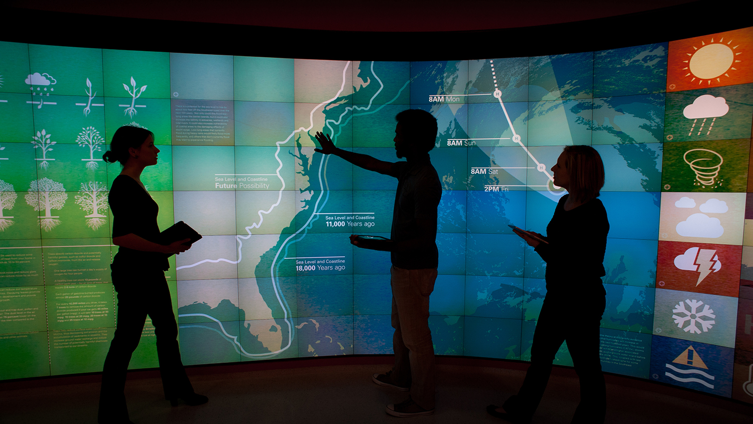
Center Researchers Analyze Effects of Climate Change with Lenovo and Artificial Intelligence

The Center for Geospatial Analytics is partnering with the Lenovo Artificial Intelligence Innovation Center to leverage AI and geospatial image analysis to preemptively identify agricultural areas and crops that will be affected by flooding or droughts.

Justyna with drone

Nov 14, 2017

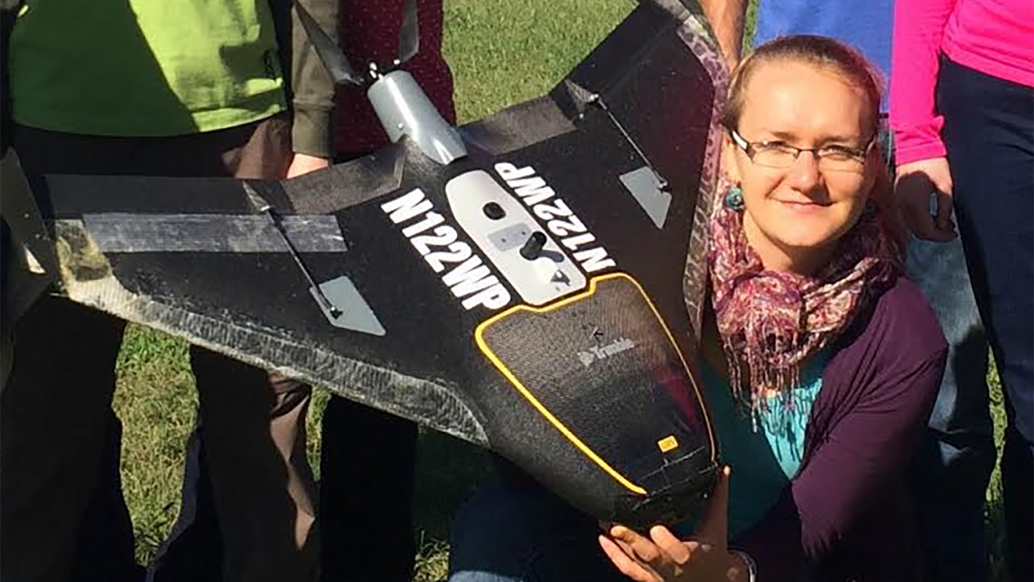
Justyna Jeziorska Certified as UAS Mapping Scientist

Research associate Justyna Jeziorska contributes significantly to Unmanned Aerial Systems research and teaching at the Center for Geospatial Analytics and is the center’s first certified UAS Mapping Scientist.

Stakeholders interact with a simulation of sudden oak death disease in Oregon

Nov 10, 2017

Getting in Touch to Stop an Epidemic

Devon Gaydos, Ph.D. student in the Department of Forestry and Environmental Resources, is using tangible user interfaces designed by the Center for Geospatial Analytics to help Oregon stakeholders fight infectious forest disease.

Mapping on a touchscreen

Oct 13, 2017

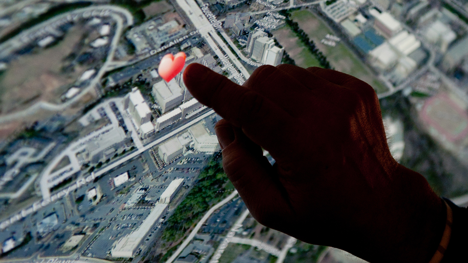
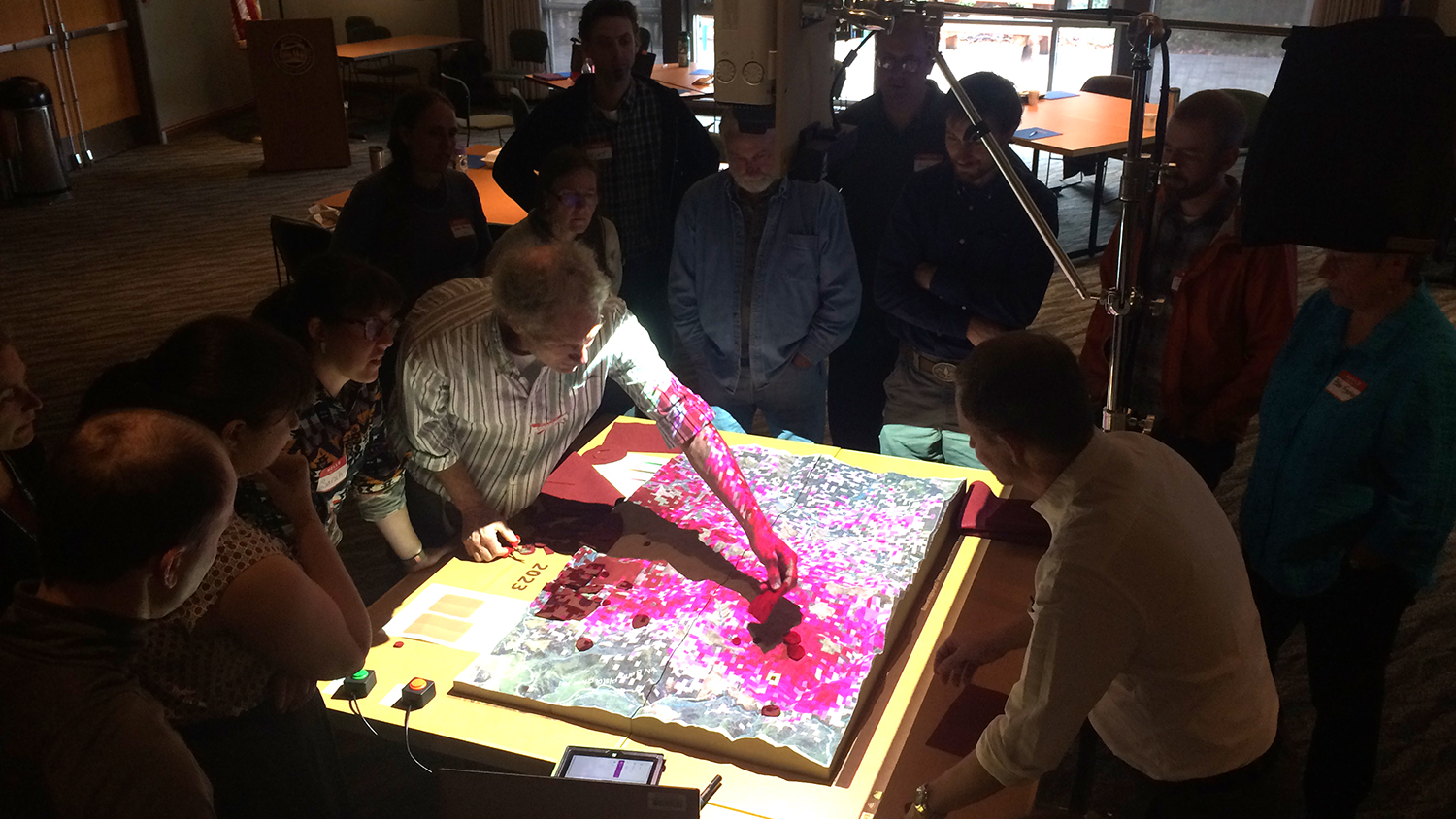
NSF Grant Funds Smart City Research to Tackle Regional Problems with Serious Games

With NSF funding, a research team led by Center for Geospatial Analytics director Ross Meentemeyer will unite four universities in the Triangle and regional stakeholders to develop a serious game for stormwater management.

Architectural detail

Sep 15, 2017

Acadia 2017 Student Scholarship Awards Announced

Ph.D. student Payam Tabrizian has won a scholarship to attend the 2017 conference of ACADIA, an international network of digital design researchers and professionals.