
Megan Skrip

NC State graduation

Dec 17, 2019

Congrats to Our December 2019 Graduates!

At December graduation, 45 members of the Center for Geospatial Analytics community will be recognized for completing their graduate programs.

a sign points to a wheelchair accessible entrance near a set of stairs

Dec 17, 2019

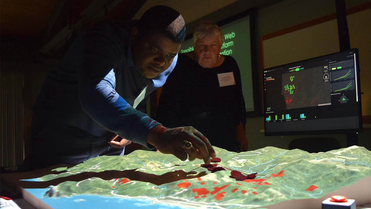
Partnerships in Geospatial Problem-Solving

During their final semester, each master’s student in Geospatial Information Science and Technology completes a service-learning capstone project, working directly with a community or industry partner to solve a geospatial problem. This season, we celebrate the work of our December graduates.

Christmas tree farm in North Carolina

Dec 17, 2019

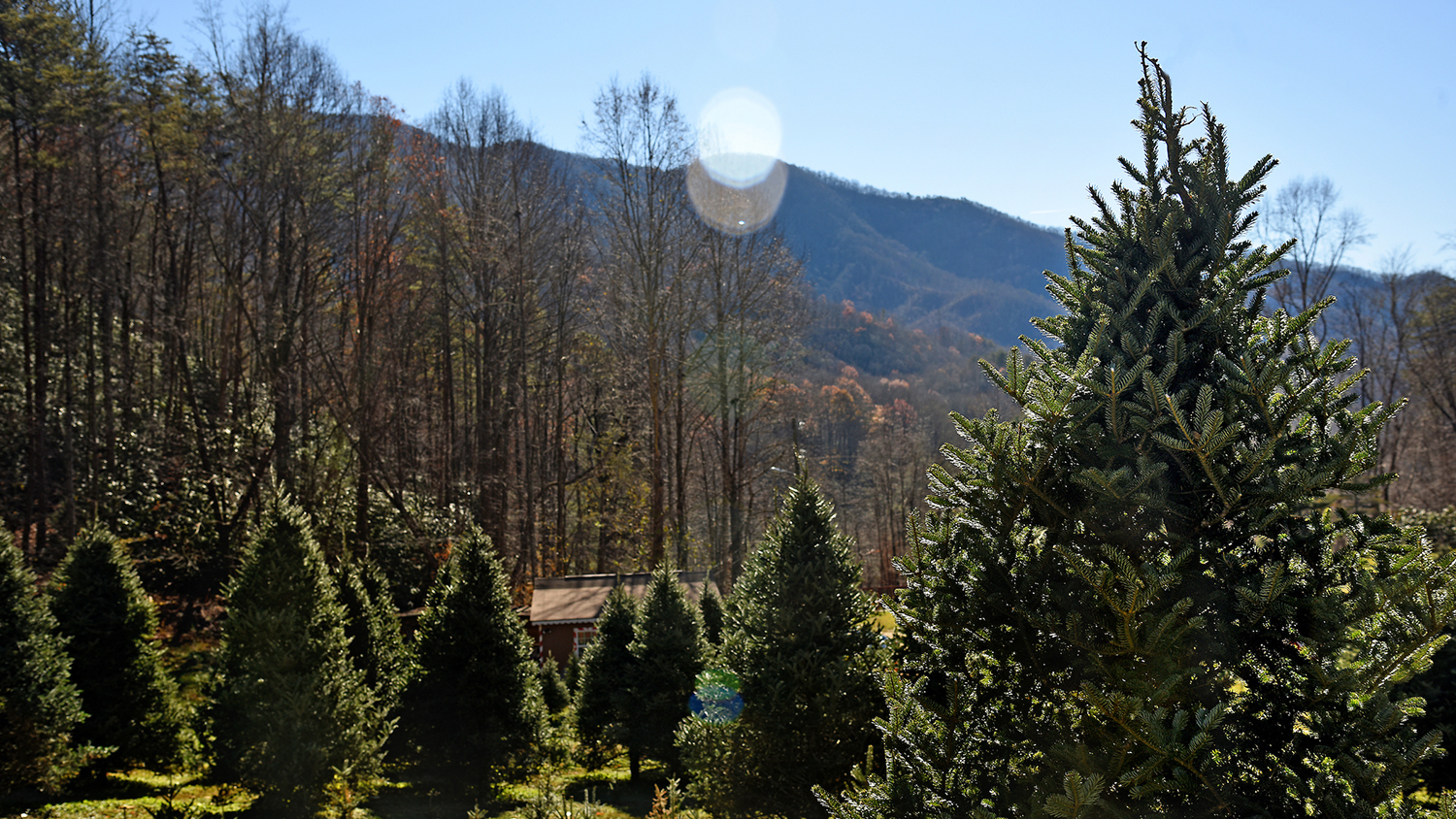
UAVs and Christmas Trees: New Research to Help NC Growers Benefit From Drone Technology

A new partnership between NC State’s Christmas Tree Extension Team and Center for Geospatial Analytics will test how unmanned aerial vehicles (UAVs, or drones) can help NC Christmas tree growers more efficiently monitor tree size and health.

PoPS Dashboard

Dec 16, 2019

Multiple New Research Positions in Spatial Data Science Now Accepting Applications

Multiple new positions for postdoctoral scholars, research scientists and Ph.D. students are available at the Center for Geospatial Analytics to work on a variety of funded team-science projects. Review of applications will begin January 20.

Airboat near fire in Everglades National Park

Dec 5, 2019

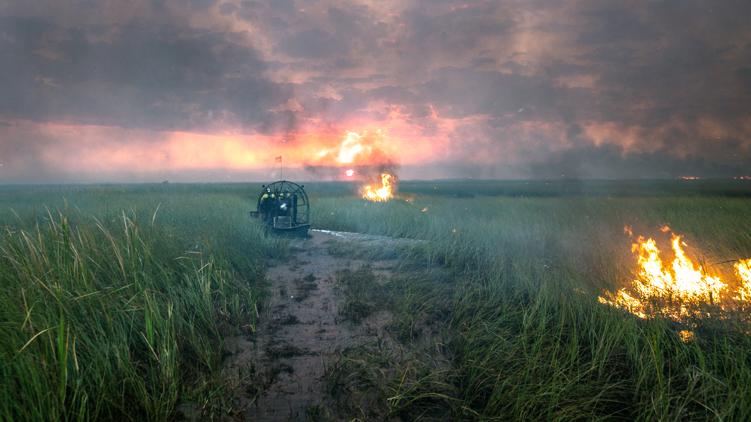
Custom Geospatial Tool Helps National Park Service Better Predict Fire Risk on Florida’s River of Grass

In the Everglades’ vast wetlands, fire spread depends on water levels. A custom geospatial tool created at the Center for Geospatial Analytics is helping the National Park Service quickly and easily map water levels––and better manage fires––across south Florida.

Vaclav Petras and Anna Petrasova

Nov 26, 2019

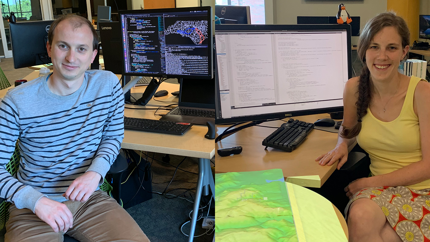
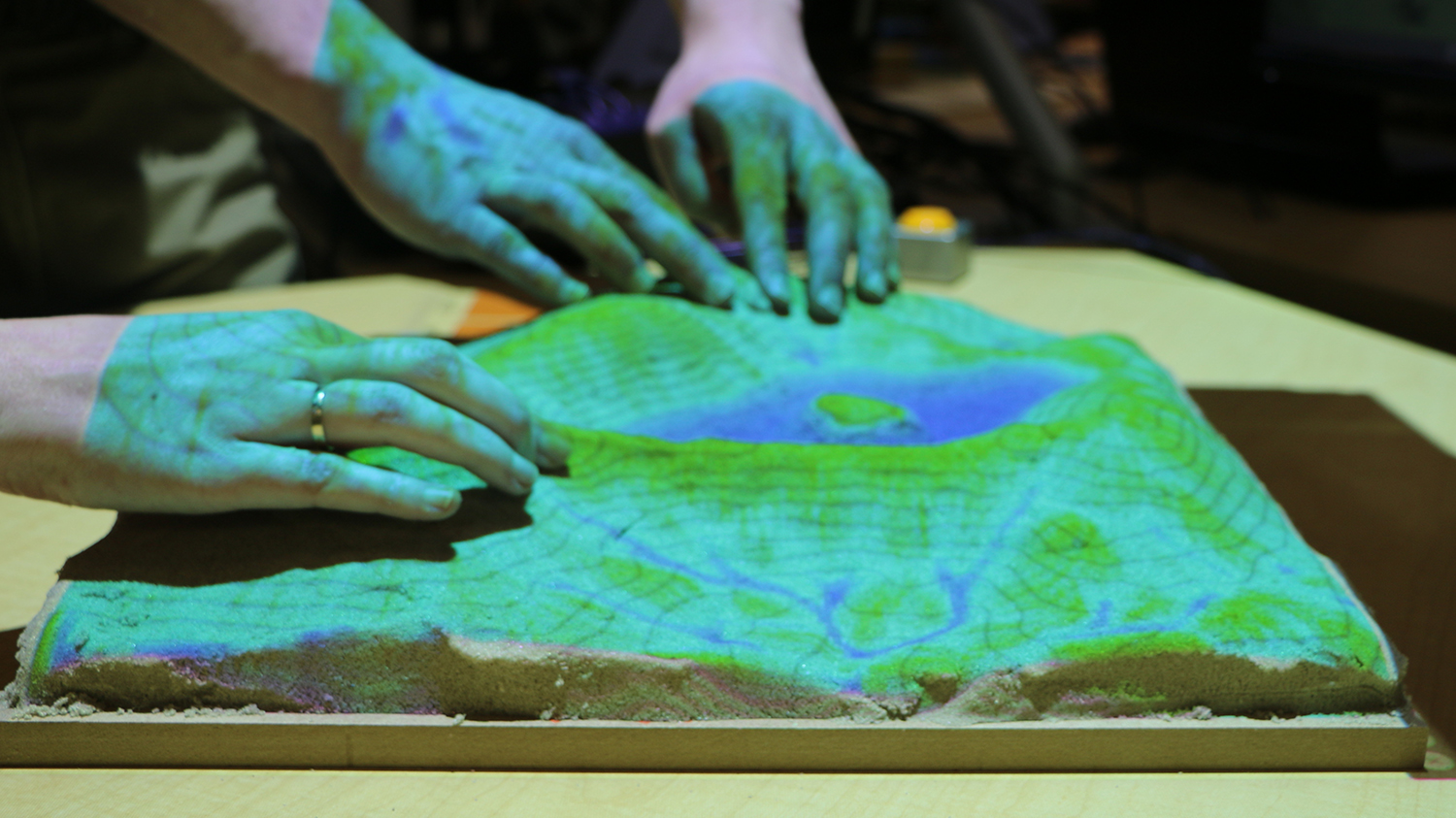
Meet Anna Petrasova and Vaclav Petras, Geospatial Research Software Engineers

As geospatial research software engineers, Anna Petrasova and Vaclav Petras are expanding the capabilities of Tangible Landscape and other geospatial technologies at the Center for Geospatial Analytics, with a focus on open science and open source.

a person interacts with Tangible Landscape while another person looks on

Nov 25, 2019

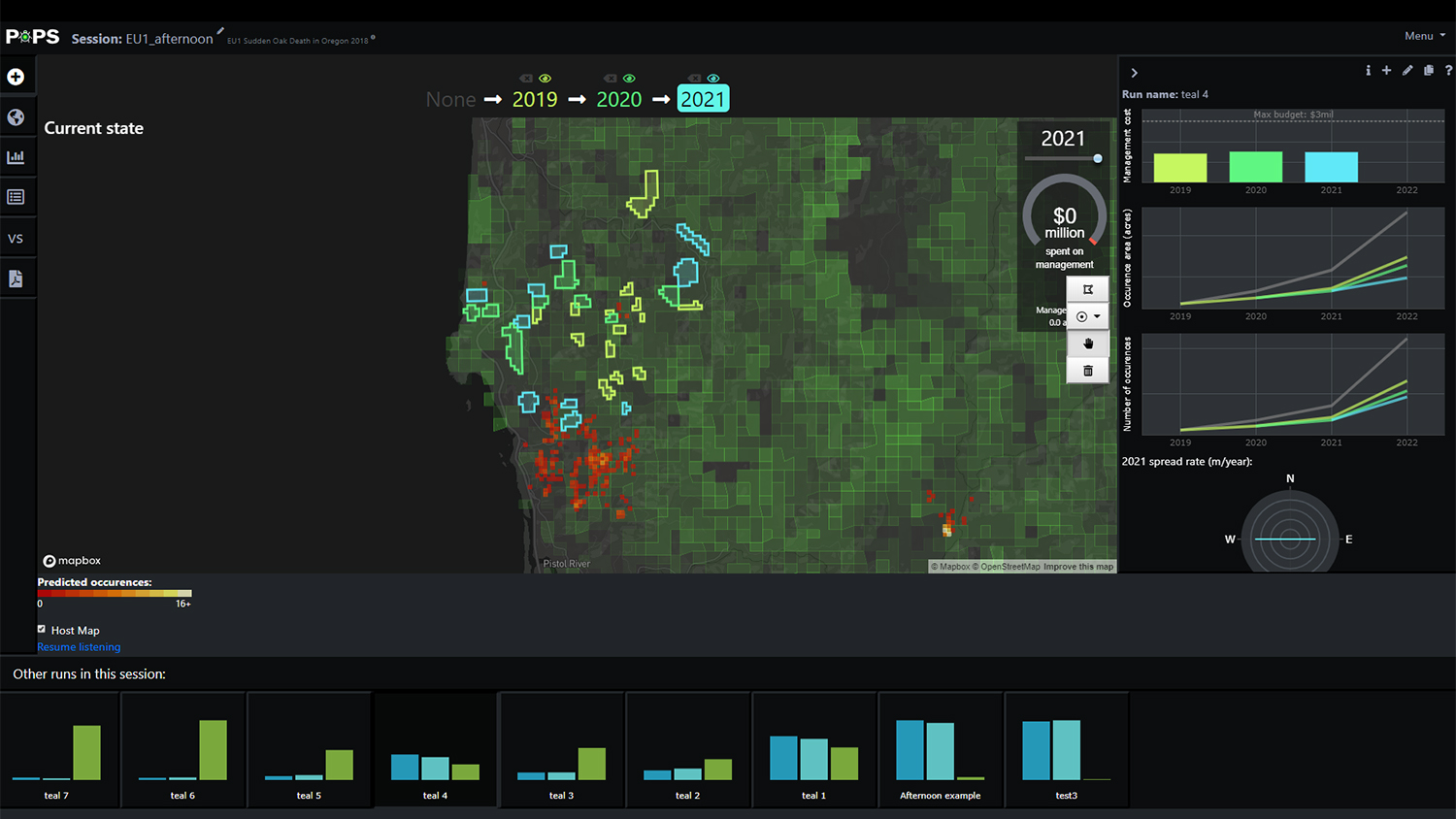
In the Battle Against a Spreading Forest Disease, Strategy Matters

Predicting and controlling the spread of disease requires the right geospatial tools. At a recent gathering of the Oregon Sudden Oak Death Task Force, over thirty representatives of government, academia, nonprofit groups and the timber industry experimented with two Center for Geospatial Analytics technologies that can help them do just that.

glass windows of Jordan Hall

Nov 25, 2019

Introducing the Center for Geospatial Analytics’ Strategic Research Areas

Researchers at the Center for Geospatial Analytics harness geospatial data to push the boundaries of data science, make new discoveries and solve problems. Our five signature research frontiers define how we transform data into knowledge and results.

2019 Awards Banquet

Oct 30, 2019

Celebrating Our Community

At its first Awards Banquet on October 26, the Center for Geospatial Analytics honored students, faculty and staff for their achievements and presented five new CGA Awards.

Tangible Landscape

Oct 29, 2019

First Official Stable Version of Tangible Landscape Software Released

Developers at the Center for Geospatial Analytics have announced the first stable release of Tangible Landscape, the center’s signature open source system for hands-on geospatial modeling: Tangible Landscape 1.0.0.