Utilizing Aerial Surveys to Combat Forest Pests

Project Title
Identifying Healthy Ash Trees with Aerial Surveys to Propagate Resistance to the Emerald Ash Borer
Project Description
The emerald ash borer is an invasive, tree-killing beetle spreading quickly across the landscape and causing widespread mortality of ash trees in the United States. In areas where the emerald ash borer has already killed mature, native, untreated ash, some persist and remain healthy. These trees are dubbed “lingering ash” by the U.S. Forest Service. The majority of lingering ash screening and research occurs in the Midwest and Northeast, where ash mortality originated. Now, emerald ash borer mortality in parts of North Carolina allow researchers to identify surviving individuals.
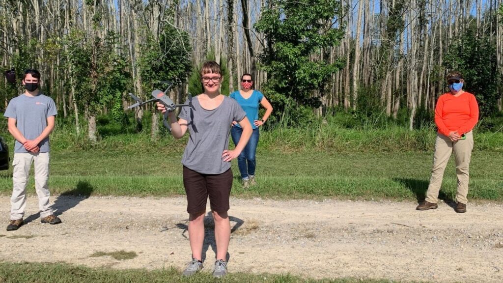
This project aims to identify, characterize and propagate ash that may be resistant to the emerald ash borer in North Carolina. Researchers are capitalizing on large acreage, randomized plantings of 20-25-year-old, native seed-collected green ash to pilot geospatial detection of resistant trees and evaluate candidate trees for propagation. Working with geospatial data and images from Unmanned Aerial Systems (UAS) surveys, the researchers will create a visual map of healthy, unhealthy and dead trees.
This project will identify, characterize and propagate ash that may be resistant to the emerald ash borer in North Carolina. Researchers are capitalizing on large acreage, randomized plantings of 25-30-year-old, native seed-collected green ash to understand the impact of environmental factors and competition on ash survival, conduct ground surveys, pilot geospatial detection of potential resistant trees, and evaluate candidate trees for propagation. Identifying potential environmental factors and the role of competition influencing ash health will better aid future management techniques for restoring ash to the landscape. This will also provide a test of the IML Resistograph as a tool for assessing hardwood productivity. Working with geospatial data and images from Unmanned Aerial System surveys, researchers will also attempt to correlate ash health to ground level surveys.
Principal Investigators
Kelly Oten (Director)
Elizabeth Nichols
Robert Jetton
Collaborators
UAS surveys are a collaborative effort with NC State’s Center for Geospatial Analytics. Researchers are working on sites managed by the City of Raleigh, the North Carolina Department of Agriculture, and the City of Jacksonville. The identified ash genotypes will be shared with the University of Georgia for propagating resistant ash via somatic embryogenesis and the North Carolina Forest Service for nursery propagation and dissemination.
Expected Outcomes
- Screening of tens of thousands of native green ash for survivorship amid emerald ash borer mortality to conserve southern genotypes.
- Long-term monitoring of over 100 trees with healthy canopies in affected forests to assess resistance.
- Novel use of a resistograph — an electronically controlled drill that measures the relative density of wood in trees — to evaluate tree productivity and growth rates in a temperate hardwood species.
- Development of ash propagation techniques.
- Training of three undergraduate students to sample soil, submit for analysis and interpret results.
A McIntire-Stennis supported project
About McIntire-Stennis
The McIntire-Stennis program, a unique federal-state partnership, cultivates and delivers forestry and natural resource innovations for a better future. By advancing research and education that increases the understanding of emerging challenges and fosters the development of relevant solutions, the McIntire-Stennis program has ensured healthy resilient forests and communities and an exceptional natural resources workforce since 1962.