Akshita Govindaraj – Resilience and Roots: A Summer in Gates County
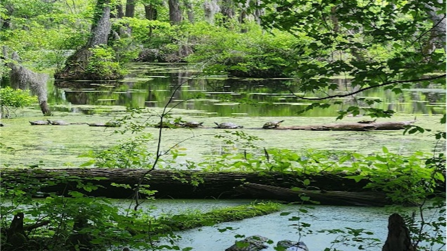
Cloudy skies, sound of light drizzle, swaying pine forests, and the quiet stillness of Merchants Millpond. These are just some of the images that come to mind when I think about my summer in Gates County. Tucked away in northeastern North Carolina, Gates is a small, rural county where community bonds run deep and the land itself shapes daily life. This summer, I had the privilege of learning just how closely resilience is tied to both place and people.
I worked with the Coastal Resilience Intensive Training Program (C-CRIT), a partnership between NC State University and Conservation Corps North Carolina. Modeled after the statewide Resilient Coastal Communities Program (RCCP), C-CRIT helps counties prepare for hazards like hurricanes, flooding, wildfires, and sea level rise. My team’s task was to complete the program’s first phase: creating a Risk and Vulnerability Assessment for Gates County.
When I arrived, I didn’t know the first thing about GIS mapping. The idea that my maps could guide decisions about funding or infrastructure felt overwhelming. But with the guidance of my mentors, Dr. Ward and Dr. Sanchez, I quickly discovered that maps can do more than display data, they can tell stories. Our maps captured the places Gates County residents care most about: their schools, their farmland, their roads, and the beloved Merchants Millpond State Park. We then overlaid hazards like flooding or drought to show what was at risk.
For my individual project, I focused on something that struck close to my own interests: healthcare access. I mapped hospital driving times across the county to understand how quickly residents could reach medical care. The results were sobering. Long travel times could mean delayed care during emergencies, a reality that has very real consequences for health and safety. Presenting this work as a research poster at our symposium reminded me why I’m pursuing both environmental science and medicine, to explore the ways our surroundings directly affect people’s well-being.
What I didn’t expect was how much this experience would connect with my own goals. I’m majoring in Environmental Sciences, but I plan to go to medical school after graduation. I’ve always been interested in how the environment affects people’s health, and this internship helped me see that connection up close. It’s one thing to learn about environmental health in a lecture hall and it’s another to see how a flooded road or a lack of nearby hospitals could potentially be a problem for residents. I really valued having that real world exposure.

One of the best parts of this internship was how personal it felt. We weren’t just making maps behind a screen. We were out in the community, attending commissioner meetings and talking with local leaders. We also had opportunities to talk to people who work with the RCCP and also others who are passionate about community resilience. This also gave me a new perspective and listening to people who are so passionate about what they do is so inspiring and gives me hope for the future. At first, I wasn’t sure how I’d feel about working in a rural county. I worried I might feel out of place or disconnected. But over time, I found the exact opposite. Gates County is tight-knit, welcoming, and full of people who care about their home. Some of my favorite moments were just having conversations, whether it was with the sheriff, a county commissioner, or a resident who wanted to tell us what they loved about Gates county and what they hope to see for the future. Looking back, this internship taught me so much more than how to use ArcGIS. It taught me patience and how to ask questions when I don’t know something. It taught me how to communicate science in a way that makes sense to people outside of the field. It also showed me what kind of work really excites me: the kind that blends science, public health, and direct impact on communities.
Through these experiences, I learned lessons that go beyond GIS. I learned patience, the importance of asking questions when I don’t know the answer, and how to communicate science in a way that makes sense outside of academia. Most importantly, I learned that the kind of work that excites me blends science, public health, and community connection.
C-CRIT pushed me out of my comfort zone in the best possible way. I came in with no mapping experience and left with not only technical skills, but also a stronger sense of direction for my future. Although I still plan to go into medicine, this experience taught me that resilience is about more than infrastructure but also it’s about people, their health, and the connections that tie them to the places they call home.
If I had to sum up what I carried with me from Gates County, it’s this: data matters, but people matter more. Our maps and reports may help Gates County secure grants and prepare for hazards, but the real strength of this work lies in the community’s voice. That’s what resilience truly looks like.
Moving forward, I want to keep finding ways to connect environmental science and healthcare. It’s something I’ve been interested in for a long time, and I believe more research needs to be done on how our environment impacts health. I’ve started making progress toward that goal by working in the STRIVE Study at NC State University, a collaboration between UNC Chapel Hill, Duke, Emory, and NCSU. The project focuses on how environmental factors affect liver conditions and liver health, which ties directly into my interests. I’m excited to keep building on what I learned this summer and continue exploring how science and medicine can work together to improve people’s lives.