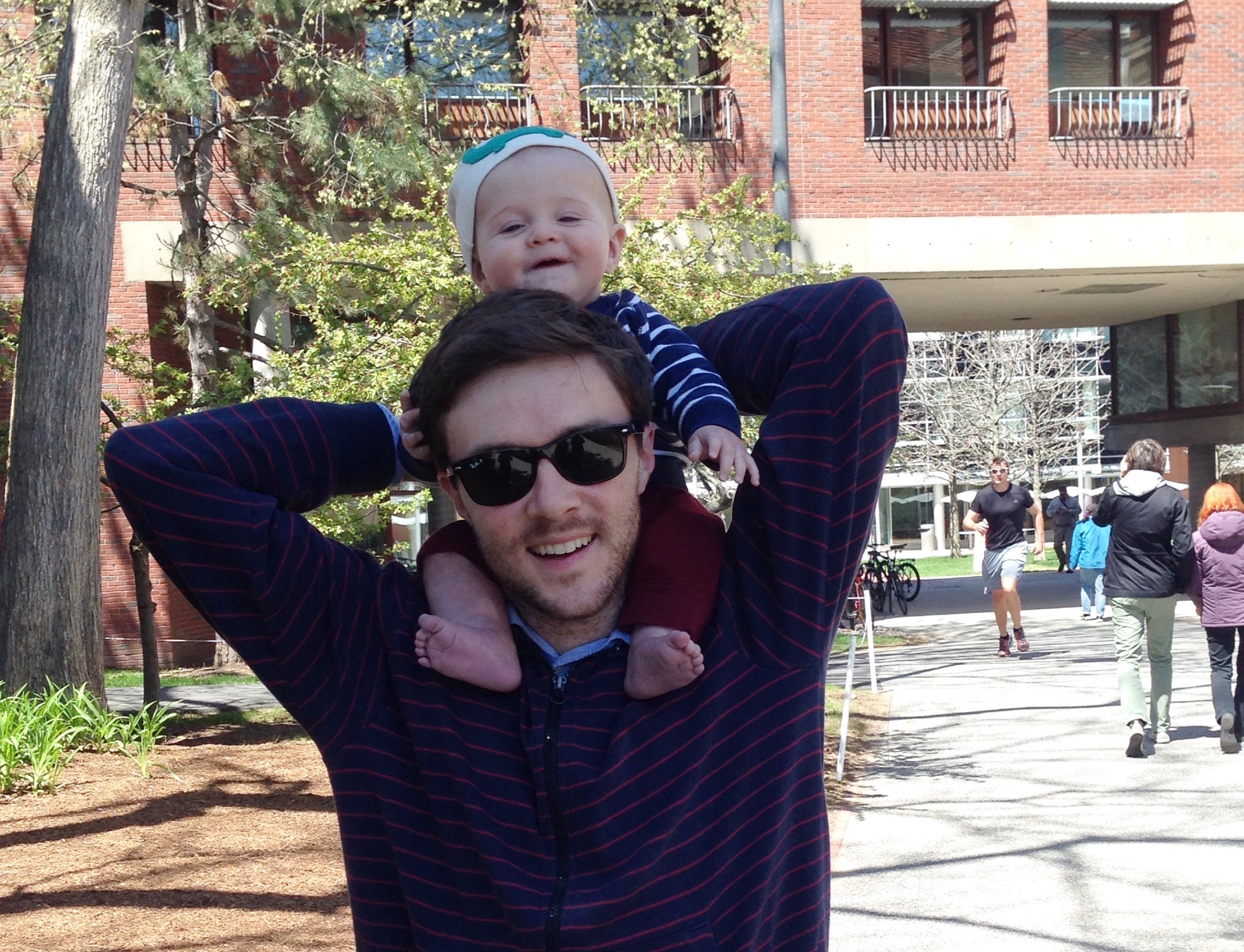
Faculty Profile: Josh Gray

Dr. Josh Gray leads the Spatial Ecosystem Analytics Laboratory and is an Assistant Professor in the Department of Forestry & Environmental Resources, and the Center for Geospatial Analytics at NC State University. Previously, Josh was a postdoc and research assistant professor at Boston University, where he worked with Dr. Mark Friedl’s group on MODIS land cover, and MODIS and moderate-scale land surface phenology. Prior to that, Josh was a PhD student under the direction of Dr. Conghe Song at the University of North Carolina at Chapel Hill. Josh’s group develops and uses modern remote sensing approaches (e.g. image time series, data fusion, Bayesian statistical analysis) to characterize large-scale changes in vegetation. Then, a variety of statistical and process models, field observations, climate and other ancillary data are used to quantify the food, water, and carbon impacts of vegetation changes.
1. What do you study?
My group tries to answer questions like: How will food and water security be affected by climate change? In what ways can smallholder farmers adapt their cultivation practices to be more resilient against weather variability? Which deforestation mitigation policies are effective? and, Where and how has the timing of seasonal vegetation activity changed over the past several decades? Answering these types of questions requires that we obtain accurate information about how vegetation is changing that is consistent across continental to global scales. We develop algorithms that retrieve that information from remotely sensed (primarily satellite) imagery. We are particularly interested in figuring out how to use time series of imagery from different satellites together.
2. How did you get in your field?
I got the privilege of doing what I do mostly through the incredible support of my family, my teachers and mentors, and more than a little luck. My father was a forester and we grew up deep in the wilderness of WNC. My grandfather was an engineer who worked on some of the earliest computers. These two influences strongly shaped my interests and imagination. I developed a passion for the natural world on long walks through the forest with my father, and I started programming at a very early age using a QBASIC book I got from the library and an old x86 machine my grandfather gave us (my first “program” was a couple hundred lines copied from the back of that book…into the DOS prompt!). It wasn’t until I was midway through an undergrad CS major when I found a way to unite these two passions. My professors and advisors helped me realize that environmental modeling, GIS, and remote sensing offered the perfect blend of math, natural sciences, and coding. I switched to an ES major, worked for a few years as a GIS tech, and then sought a PhD in geography. From there, I focused on using satellite remote sensing to answer pressing environmental questions.
3. What is most exciting about your research, and/or what do you hope to achieve with your research?
Using space lasers to measure Earth is pretty cool and exciting. I’ve been at this a while and the “gee whiz” factor hasn’t even started to wear off. Those technical aspects of the work still excite me, but I have grown even more passionate about using those technologies to solve critical environmental challenges. Currently, we’re working hard to envision a more climate resilient future for millions of smallholder farmers, to provide a monitoring system that will reduce deforestation and inform policy choices, and solve the mystery of how plants’ life cycles are determined by weather. Success in these domains could improve livelihoods, protect biodiversity and carbon stores, and improve models of carbon and water fluxes.
4. What led to you becoming a professor at NC State?
I applied to a different job at NC State earlier in my postdoc career, and I guess they took pity on me when I applied again. As my dad said when I told him I got the job at NC State: “What do they want with you, isn’t that the shop that invented loblolly pine?!” In all seriousness, like everyone that has the privilege of doing this sort of work: I got very lucky.
5. What was your favorite course you taught?
I get to teach two great courses at NC State: Geospatial Data Mining (GIS713) and Earth from Space (ES113). I love teaching both for different reasons. In GIS713, I get to work with a really talented and diverse group of graduate students. In ES113 I get to share my passion for satellite remote sensing with a large group of undergraduates, some of whom are searching for a place to direct their talent and energy.
6. What advice would you give students interested in your field of study?
Take as much math and statistics as you can manage as an undergraduate. Learn to code. Seek out opportunities to engage with ongoing research at NC State.
- Categories: