Transforming Data into Conservation

Wildlife is crucial to supporting the ecosystem services that humans rely on, including fresh water, pollination, food, medicine and more. Unfortunately, many animals are slowly but surely disappearing from the planet.
The tracking and monitoring of these animals is vital to their conservation, allowing scientists to evaluate how individuals and populations are responding to climate change, habitat loss and other threats.
While museum specimens provide genetic data and other information critical to wildlife management and conservation, scientists are increasingly using GPS tags, camera traps and other technologies for tracking and monitoring.
“Museum specimens are still very important to wildlife research,” said Roland Kays, a research professor at NC State. “It’s just that GPS and camera traps can capture spatial data at higher rates.”
Scientists, however, are often overwhelmed by the large collections of digital data generated by these technologies, lacking the tools to effectively process them. This frequently results in important information going unanalyzed.
The use of GPS tags, camera traps and other technologies has created another challenge for conservation research: A lack of data sharing among scientists, wildlife managers and other stakeholders.
While these technologies are used in research projects all around the world, the resulting data is often isolated and relegated to a hard drive where it sits until it’s eventually discarded, according to Kays.
“Scientists need a place where they can upload their data, retain control over it, but still share it with others when they want to,” Kays said.
Kays, who is also director of the Biodiversity Lab at the North Carolina Museum of Natural Sciences, is currently working with conservation organizations around the world to address these challenges through the development of data management and collaboration tools.
A Digital Museum of Animal Movement
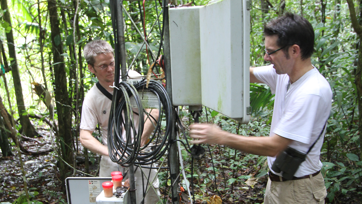
In the early 2000s, Kays teamed up with Martin Wikelski, now director of the Max Planck Institute for Ornithology in Germany, to track the movement of animals on an island in Panama.
However, because GPS technology was in its early days, the signals couldn’t penetrate the thick canopy of the island’s jungle. Kays and Wikelski instead set up a series of six above-canopy radio towers capable of automatically detecting signals emitted by radio tags attached to animals.
By intersecting the tags’ signals from multiple towers, Kays and Wikelski triangulated the animals’ locations. The automated nature of their tracking system produced expansive digital data collections, however.
Realizing that the scale of the incoming data from their tracking system would overwhelm their current systems, Kays and Wikelski created software capable of processing and storing it. Today, that software is used by thousands of researchers.
In 2008, after deciding that their software could help other researchers in managing their animal tracking data, Kays and Wikelski released an improved version of their system called Movebank.
The Movebank system features a variety of tools that allow researchers and other users to collect, manage, share, visualize, analyze, and archive their tracking data. The system is now used by over 3,000 users globally, with thousands of active tags sending over 3 million new data records daily.
When a user uploads their tracking data into Movebank, the system displays animal tracks on maps, allowing for real-time monitoring of both animal movement and behavior, according to Kays.
“The ultimate goal is to monitor the status of animal populations and evaluate how they’re dealing with humans on the planet,” Kays said.
Movebank users retain ownership of their data and can choose whether they want to make it available to the public or with select users, according to Kays. Publicly-available data can be viewed through the Animal Tracker mobile app, which allows people to follow the movement of animals in real time.
As of October 2021, Movebank includes 3.2 billion animal locations and 3.3 other animal-borne sensor measurements. These digital data collections have provided the basis for over 6,500 studies.
Recently, for example, an international research team utilized three decades of Movebank data on animal migration and movements in the Arctic to confirm that they’re shifting their behaviors due to climate change.
“I would say this is an early example of what we might call global animal movement ecology,” said Elie Gurarie, an associate research scientist at the University of Maryland and a member of the Arctic research team, in a press release. “We’re increasing our ability to monitor the pulse of animal populations across the Earth and ask big picture questions about what it means.”
Artificial Intelligence for Species Identification
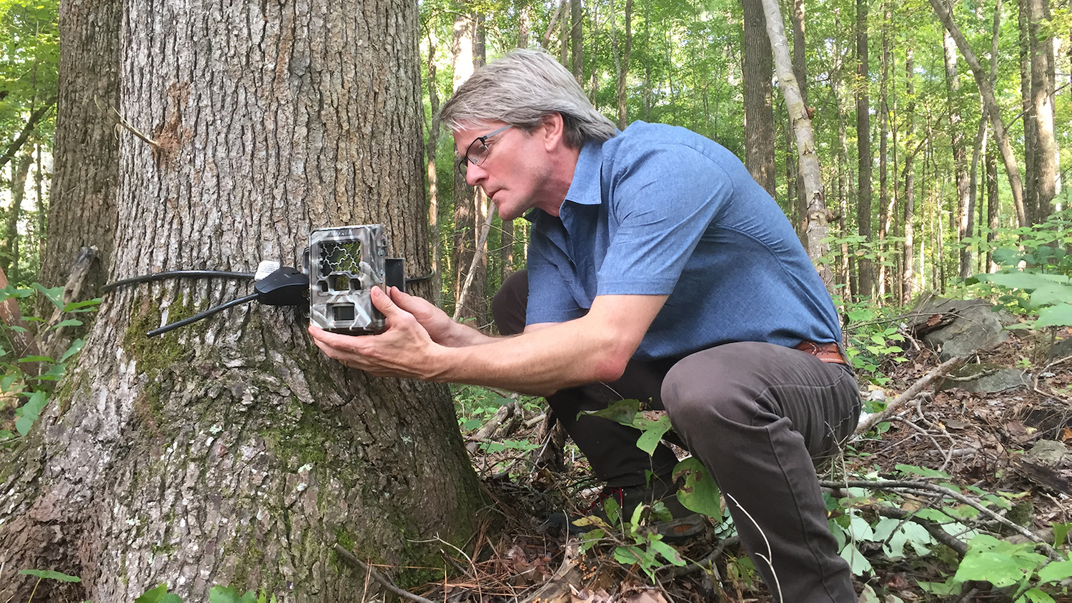
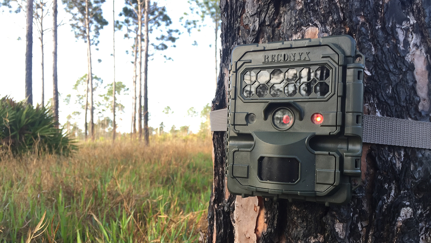
Camera traps — cameras that automatically snap photos of animals as they walk by — have become another important tool for wildlife conservation, allowing scientists to study animal behavior and estimate populations.
But camera traps continue to evolve and are capturing a growing number of high-resolution images, creating challenges for scientists who need to sort, catalog and analyze the large amounts of resulting data.
Kays recently partnered with Google and several conservation organizations to launch a project known as Wildlife Insights, a web app for scientists to upload, manage and identify images of wildlife from camera traps.
“The world is changing fast, and we need a method of wildlife monitoring that can keep up with that change,” Kays said. “We can’t afford to spend several years analyzing camera trap data. We need answers right now. That’s why we created Wildlife Insights. It’s designed to speed the pace of discovery.”
With Wildlife Insights, scientists can now upload large collections of camera trap images to Google Cloud where they are automatically analyzed by a species identification model, according to Kays.
The species identification model utilizes artificial intelligence to differentiate between images with people, animals and no animals. It then further analyzes the images with animals to detect the specific species.
“Wildlife Insights essentially uses artificial intelligence to identify animals in images,” Kays said. “It saves researchers a lot of time and effort.”
Kays added that Wildlife Insights’ AI model has so far been trained using about 20 million images from 425 camera trap studies worldwide. The system is currently capable of identifying over 700 species.
According to Google, Wildlife Insights can analyze up to 3.6 million images per hour. That’s up to 3,000 times faster than with human experts, who average 300 to 1,000 images per hour.
Once an image has been processed, Wildlife Insights sends the proposed species identifications to the researcher for review. More importantly, it automatically removes images without animals.
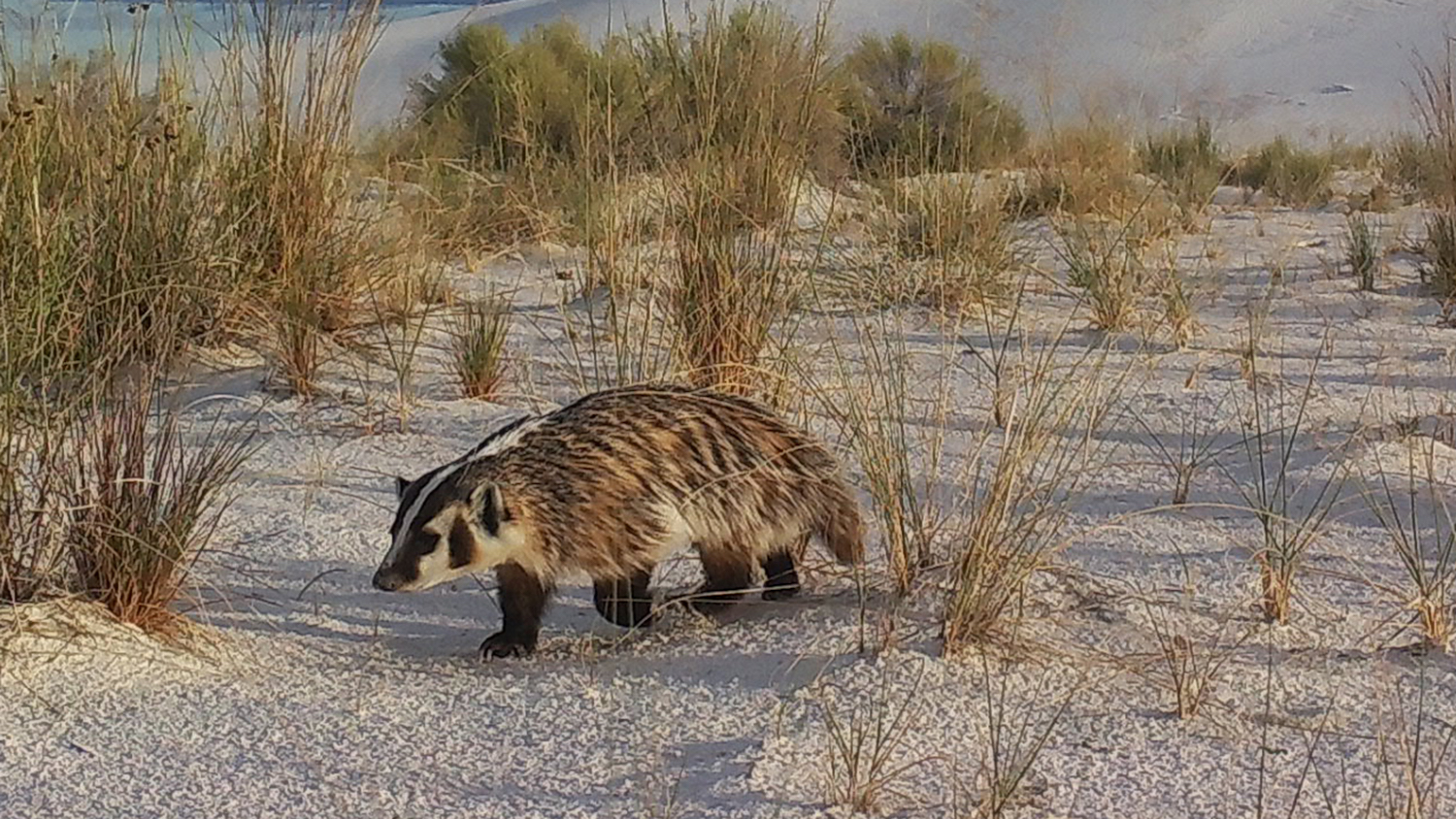
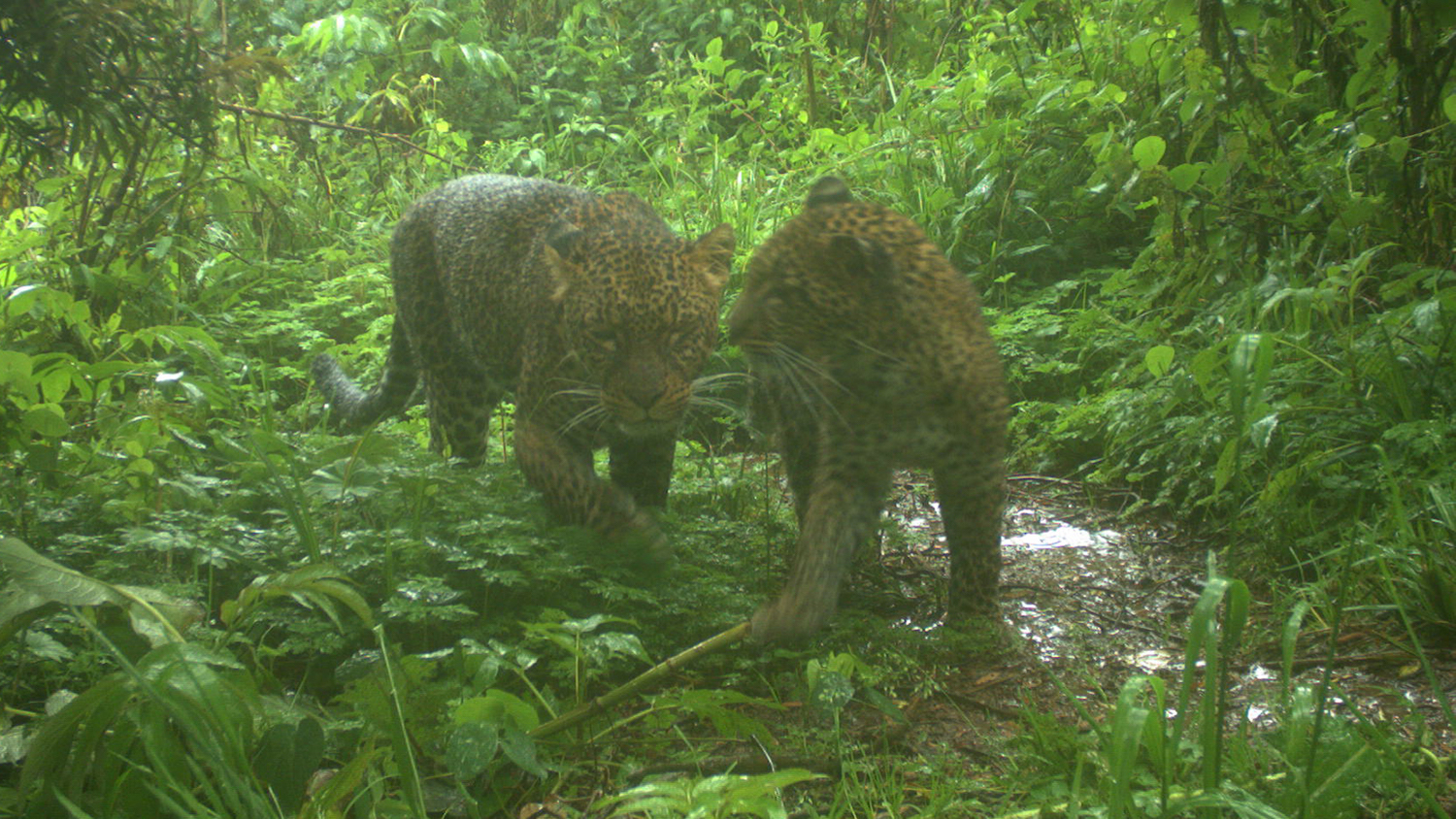
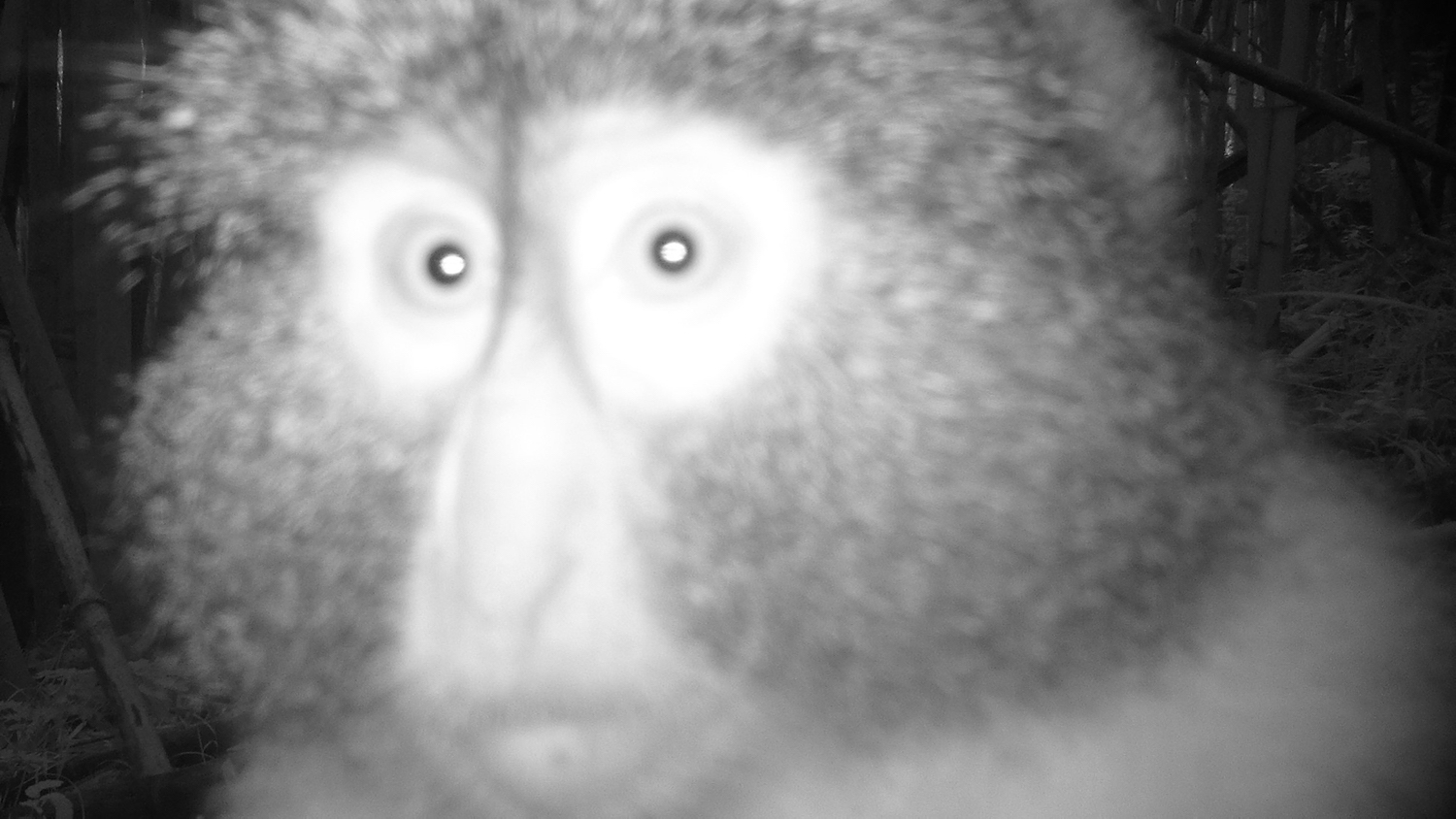
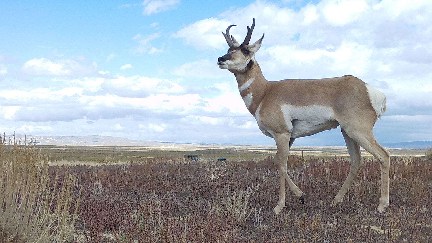
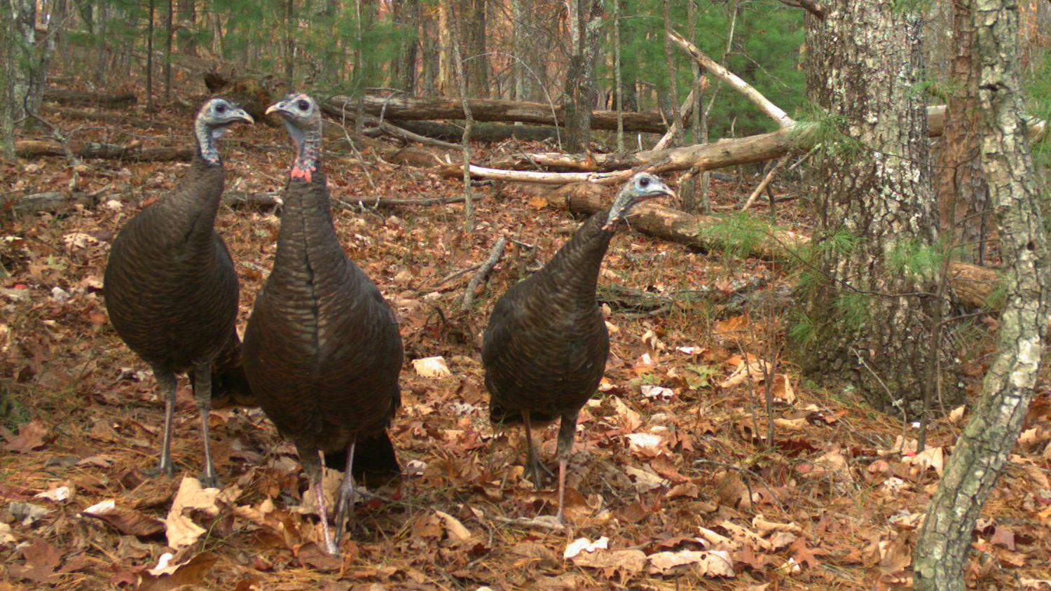
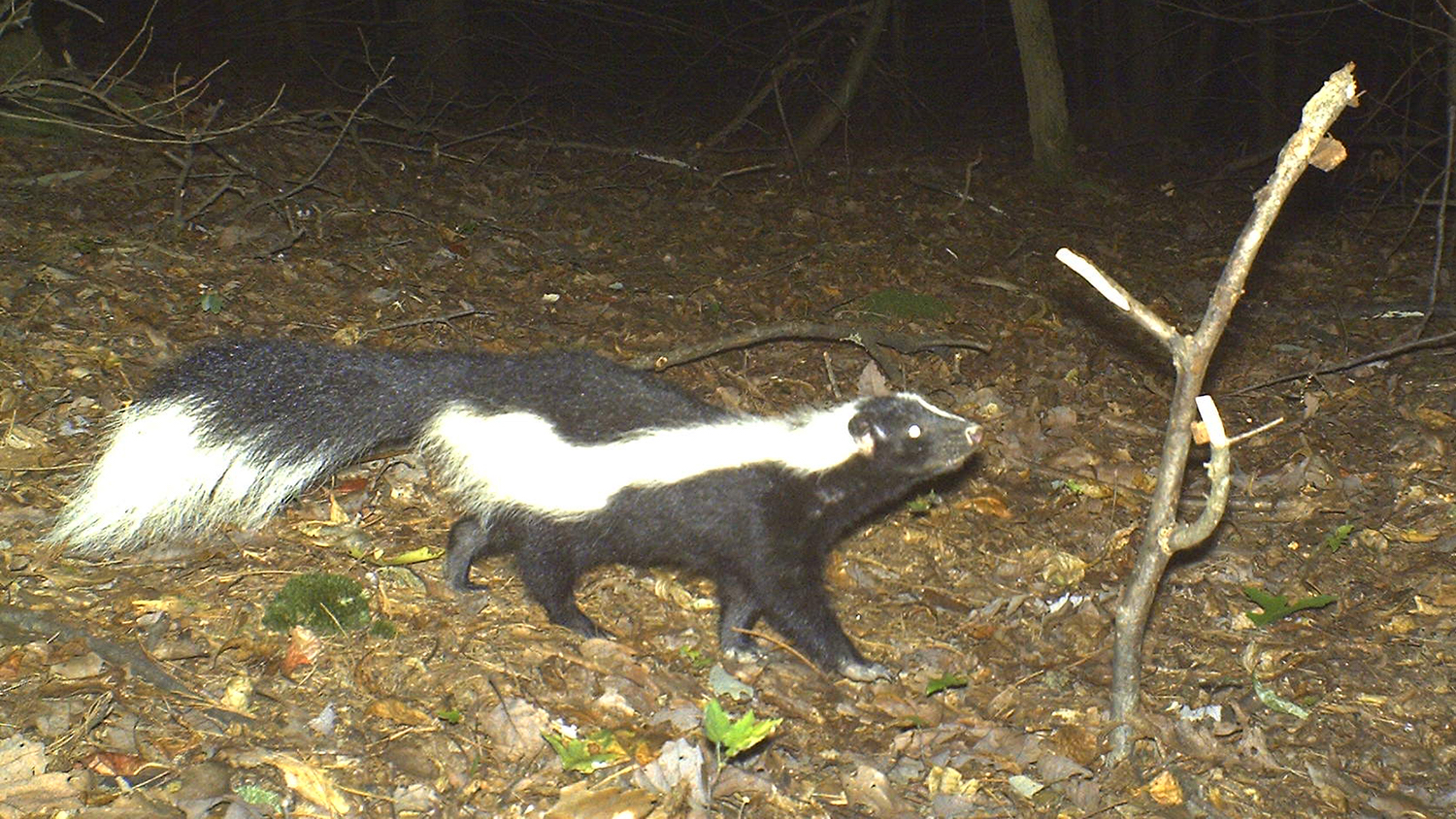
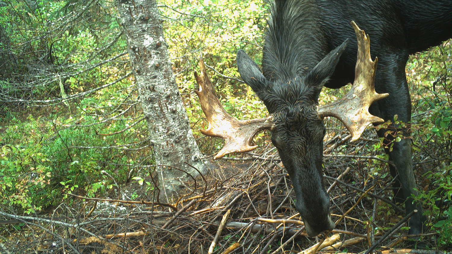
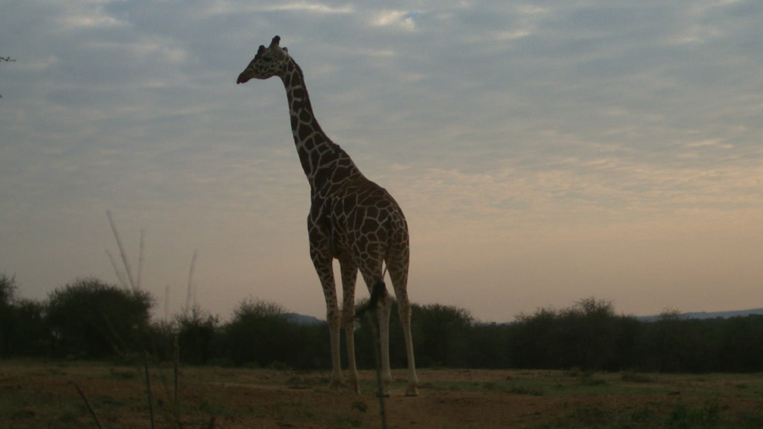
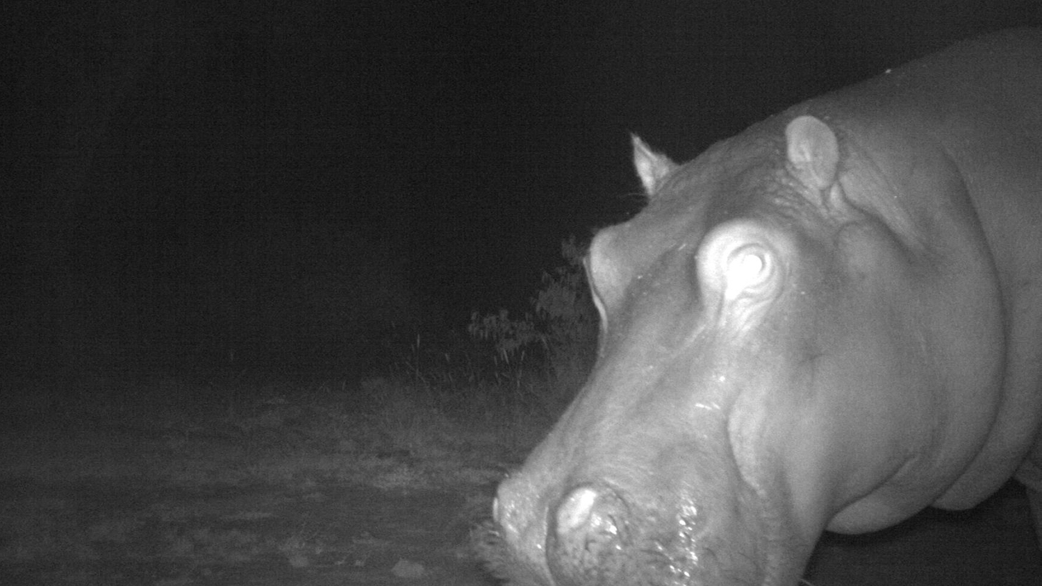
What do camera trap photos look like? Check out the examples below.

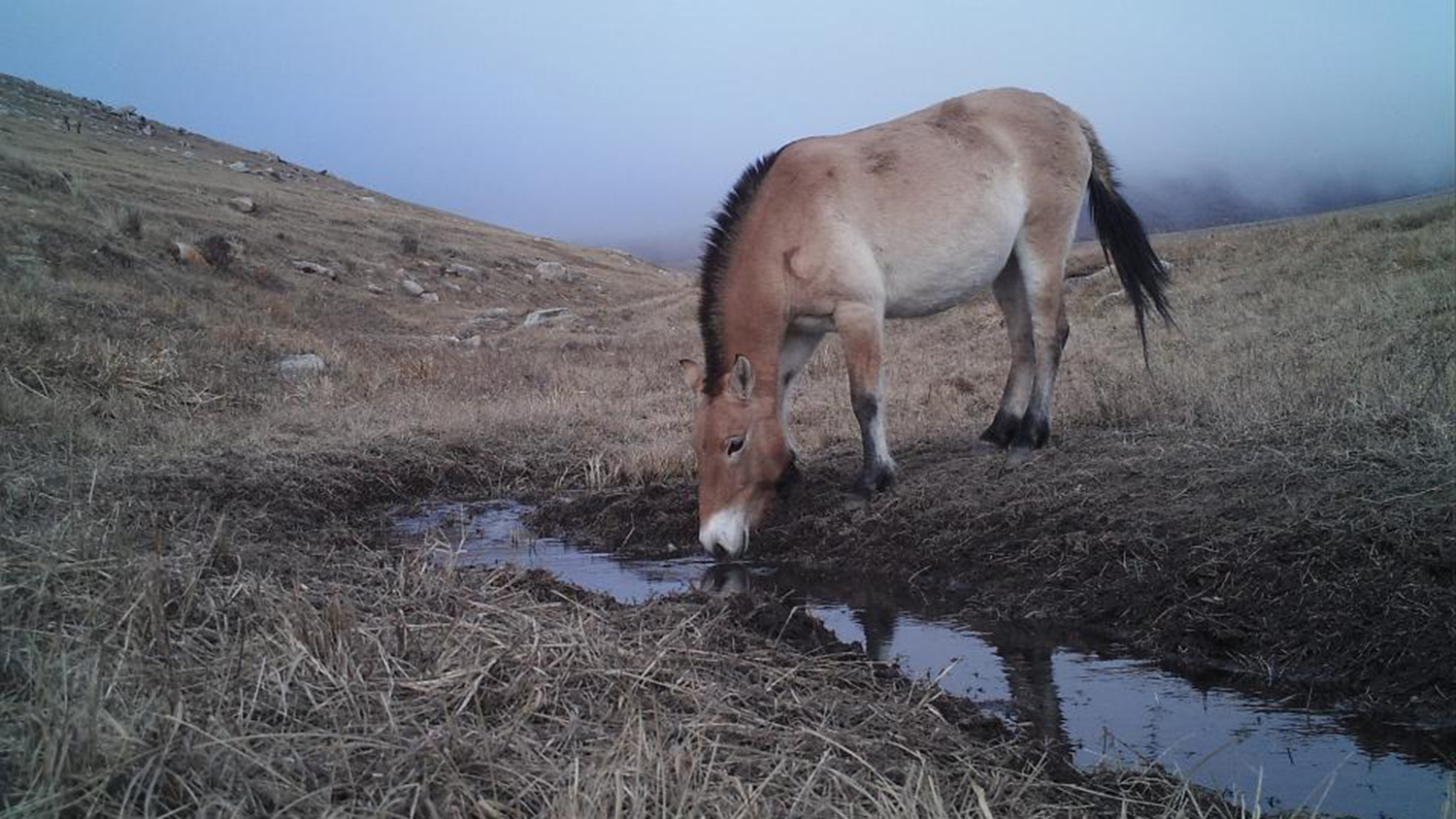
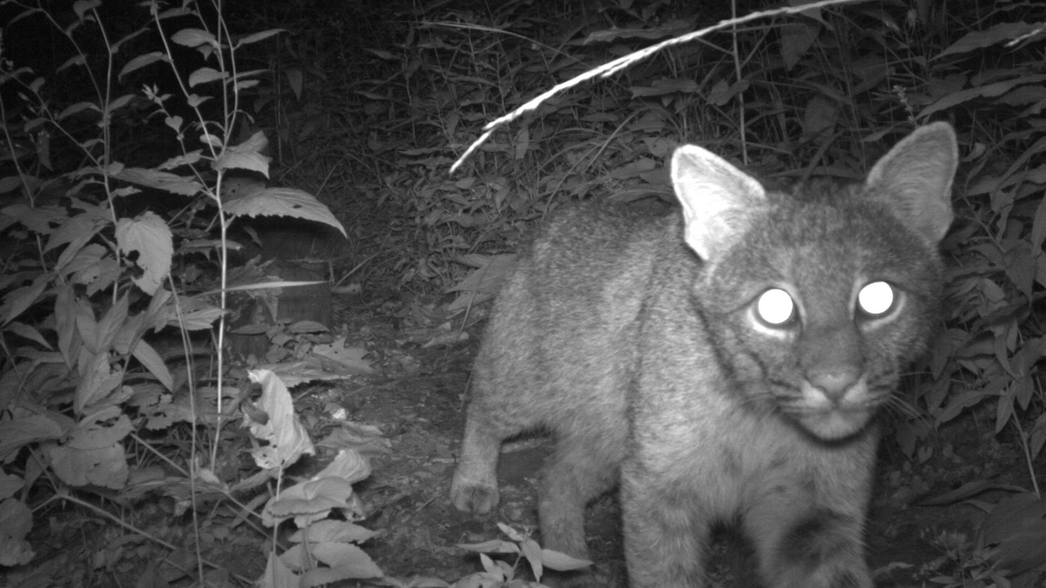
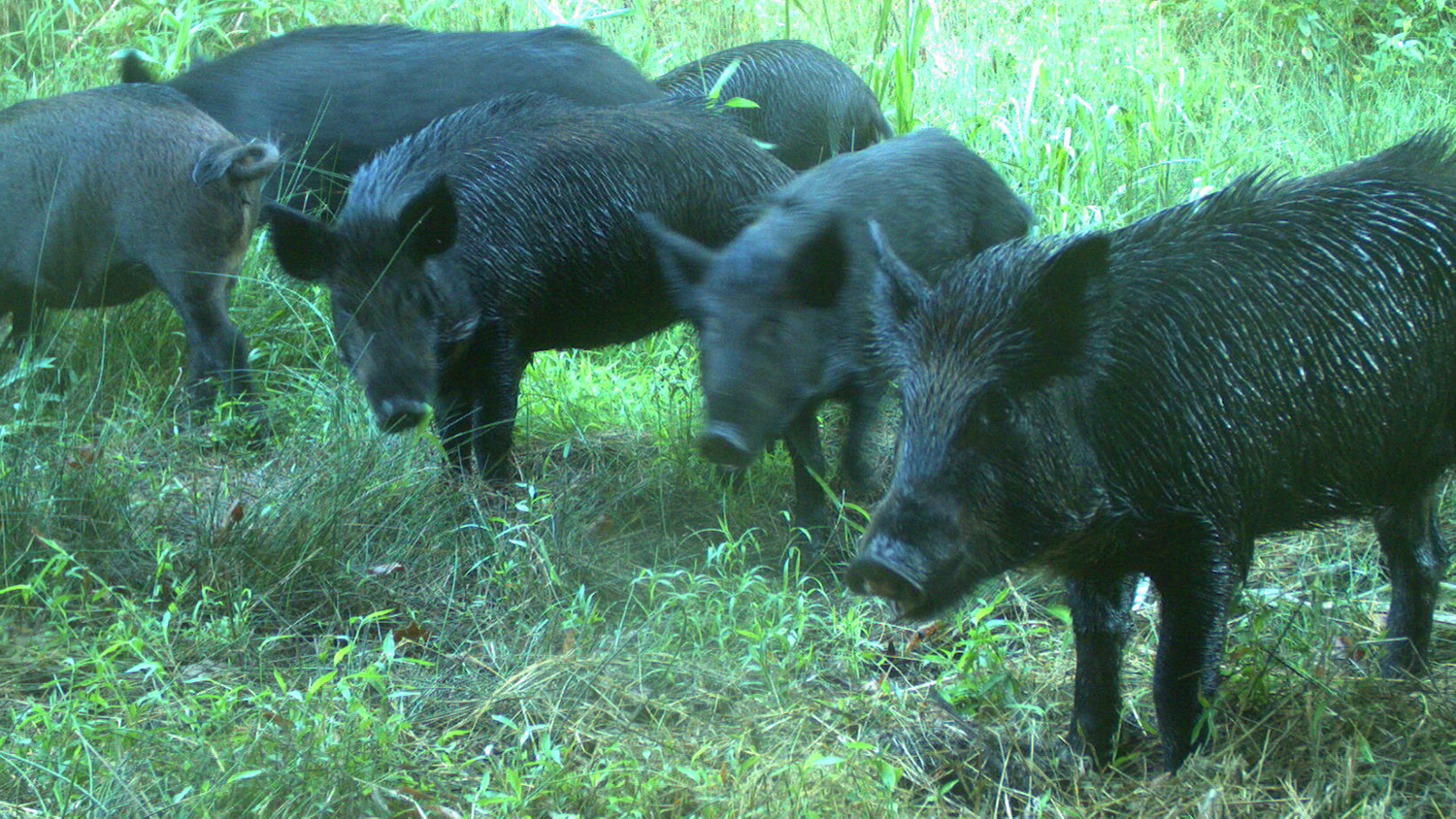
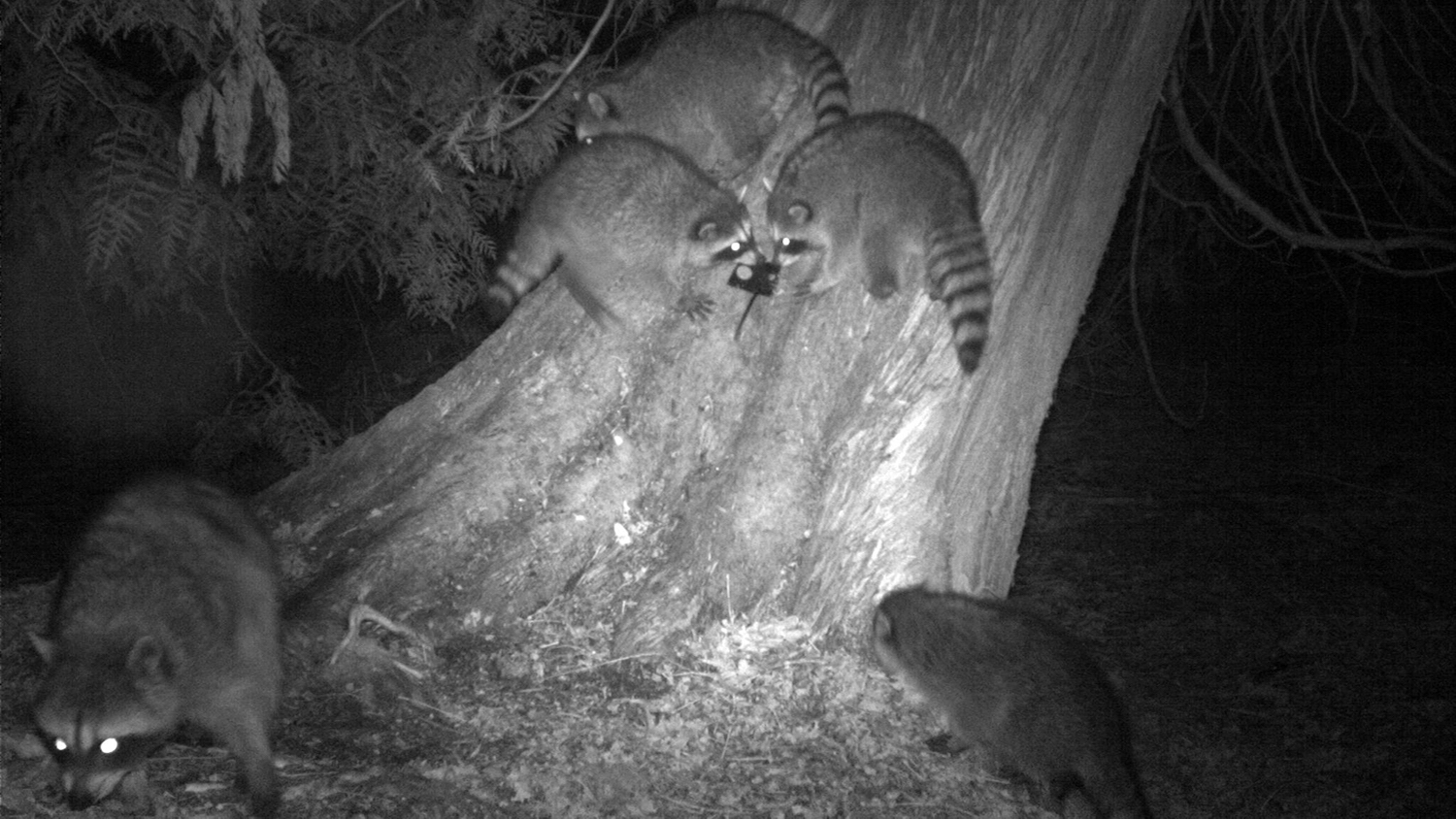
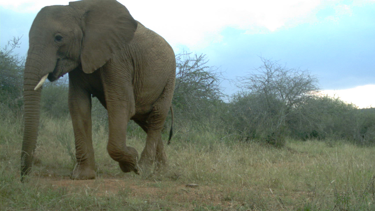
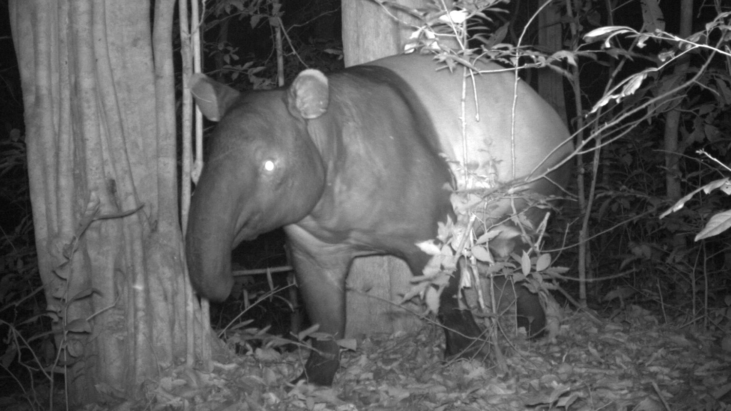
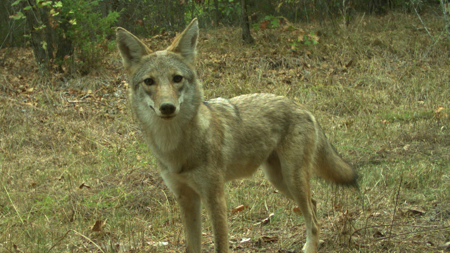
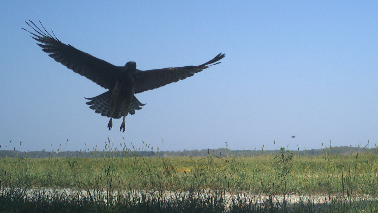
American badger. Photo provided by Roland Kays, Snapshot USA 2020. This work is licensed under a Creative Commons Attribution-NonCommercial-ShareAlike 4.0 International License. Leopards. Photo by Mount Kenya Survey, eMammal. This work is licensed under a Creative Commons Attribution-NonCommercial-ShareAlike 4.0 International License. Blue monkey. Photo by Mount Kenya Survey, eMammal. This work is licensed under a Creative Commons Attribution-NonCommercial-ShareAlike 4.0 International License. Pronghorn antelope. Photo provided by Roland Kays. This work is licensed under a Creative Commons Attribution-NonCommercial-ShareAlike 4.0 International License. American black bear. Photo provided by Roland Kays.This work is licensed under a Creative Commons Attribution-NonCommercial-ShareAlike 4.0 International License. Eastern wild turkeys. Photo by North Carolina’s Candid Critters Project, eMammal. This work is licensed under a Creative Commons Attribution-NonCommercial-ShareAlike 4.0 International License. Hyena. Photo by Students Discover Kenya, eMammal. This work is licensed under a Creative Commons Attribution-NonCommercial-ShareAlike 4.0 International License. Przewalski’s horse. Photo by Przewalski’s Horse and Livestock Resource Use in Hustai National Park, eMammal. This work is licensed under a Creative Commons Attribution-NonCommercial-ShareAlike 4.0 International License. Bobcat. Photo provided by Roland Kays. This work is licensed under a Creative Commons Attribution-NonCommercial-ShareAlike 4.0 International License. Feral pigs. Photo provided by Roland Kays. This work is licensed under a Creative Commons Attribution-NonCommercial-ShareAlike 4.0 International License. Raccoons. Photo by Seattle Urban Carnivore Project, eMammal. This work is licensed under a Creative Commons Attribution-NonCommercial-ShareAlike 4.0 International License. African elephant. Photo by Students Discover Kenya, eMammal. This work is licensed under a Creative Commons Attribution-NonCommercial-ShareAlike 4.0 International License. Malayan tapir. Photo by HKK ForestGEO Project, eMammal. This work is licensed under a Creative Commons Attribution-NonCommercial-ShareAlike 4.0 International License. Coyote. Photo provided by Roland Kays. This work is licensed under a Creative Commons Attribution-NonCommercial-ShareAlike 4.0 International License. Hawk. Photo by North Carolina’s Candid Critters Project, eMammal. This work is licensed under a Creative Commons Attribution-NonCommercial-ShareAlike 4.0 International License. Striped skunk. Photo by Appalachian Trail Project, eMammal. This work is licensed under a Creative Commons Attribution-NonCommercial-ShareAlike 4.0 International License. Moose. Photo by BC Parks Wildlife Monitoring Program, eMammal.This work is licensed under a Creative Commons Attribution-NonCommercial-ShareAlike 4.0 International License. Tiger. Photo by Museums Connect India, eMammal. This work is licensed under a Creative Commons Attribution-NonCommercial-ShareAlike 4.0 International License. Giraffe. Photo by Students Discover Kenya, eMammal. This work is licensed under a Creative Commons Attribution-NonCommercial-ShareAlike 4.0 International License. Hippopotamus. Photo by Students Discover Kenya, eMammal. This work is licensed under a Creative Commons Attribution-NonCommercial-ShareAlike 4.0 International License.


Matt Snider, a doctoral student in the Fisheries, Wildlife and Conservation Biology program at NC State, said Wildlife Insights plays an integral role in his research at Kasanka National Park in Zambia.
Snider is currently utilizing more than 70 camera traps throughout the park for several research projects, including a study to determine whether Defassa’s waterbuck and other rare species still reside in the park.
“Wildlife Insights has really streamlined data collection and analysis,” Snider said. “My cameras are often triggered by nearby grass that’s blowing in the wind, so it’s been really helpful to have the artificial intelligence automatically identify those images as I upload them.”
Kays said Wildlife Insights continues to undergo improvements, with Google developers training the artificial intelligence every two months to enhance species identification. The development team is also adding new features, including the ability for users to create maps, graphs and other types of content to communicate their findings with the public.
The Future of Wildlife Conservation
Human-induced pressures such as deforestation and poaching are wreaking havoc on Earth’s biodiversity. In fact, at the present rate of species decline, some scientists say we are on the verge of a sixth mass extinction.
As governments, conservation organizations and other stakeholders work together to address this growing problem, many are adopting the use of data management tools like Movebank and Wildlife Insights.
These tools organize and analyze large data collections, meaning scientists no longer have to spend months or years doing it themselves. They can now interpret results and implement solutions at a much faster pace and in a more efficient manner than traditional manual methods.
Additionally, the results derived from these tools are based on concrete data rather than opinions, meaning they’re much more accurate and meaningful for scientists and other stakeholders, according to Kays.
Kays said tools like Movebank and Wildlife Insights ultimately allow scientists, wildlife managers, governments, businesses and other stakeholders to design and implement more effective conservation measures, from management plans for imperiled species to anti-poaching strategies.
In Zambia, Snider is using Wildlife Insights to not only monitor rare species but to also report on poaching within Kasanka National Park. With data collected from more than two dozen camera traps, the park’s scouts can track poachers’ movements and respond accordingly.
Like Snider, many scientists around the world are already integrating these tools into their research. That includes citizen science projects. Recently, for example, Kays and his colleagues trained 580 volunteers to use camera traps to capture 2.2 million images of wildlife across North Carolina. The images will be used for studies on animal abundance, reproduction and more.
Scientists are also sharing data from these tools — and stories from their research — on social media and other public-facing platforms to raise awareness of wildlife research and to inspire people to contribute to conservation. For example, Kays hosts the Wild Animals podcast, which features scientists sharing stories about individual animals they’ve studied.
“To really make a difference we have to reach people’s hearts, as well as their minds,” Kays said. “It seems obvious that big data projects have the potential to inform logical decision making, but we also have to find ways to use this work to engage people emotionally through the beauty of nature and the amazing stories unfolding there every day.”
Wild Animals Preview: Season 2, Episode 1
- Categories: