Events

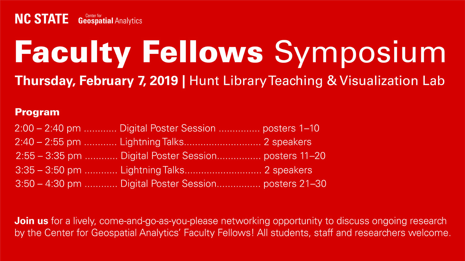
Faculty Fellows Symposium

Hunt Library Teaching & Visualization Lab 1070 Partners Way, Raleigh, NC, United States

The Center for Geospatial Analytics will host its first annual Faculty Fellows Symposium on February 7th, 2019! This networking event will feature our Faculty Fellows' latest research and is designed to spark new collaborations among our fellows, current and prospective students and other researchers. All interested faculty, staff and students at NC State are welcome…
Geospatial Forum with Camilla Mahon

Jordan Hall 5103 2800 Faucette Drive, Raleigh, NC, United States

In this forum, Camilla Mahon with Mapbox will discuss the evolving landscape of hardware and software tooling in the remote sensing industry with emphasis on common open source software solutions for wrangling pixels, the implications of cloud computing and importance of scale, the variety of satellites, planes, and UAVs being used for data collection, and…

Geospatial Forum with Dr. Gustavo Machado

Jordan Hall 5103 2800 Faucette Drive, Raleigh, NC, United States

A first important step towards better usability of available disease surveillance databases in developing countries, such as Brazil, is developing easier to interpret risk-based priority indices using small area scale health data. Additionally, there is a need to reclassify and downscale multi-resolution state-level geospatial data to better serve policymakers at the municipality level.  This Forum…

Geospatial Forum with CGA Doctoral Students

Jordan Hall 5103 2800 Faucette Drive, Raleigh, NC, United States

3:30pm – Kellyn Montgomery – 3D Models of Crop Canopy Structure for Precision Agriculture 3:40pm – Umesh Gupta – Parsing the Earth with Deep Learning 3:50pm – Devon Gaydos – The Social Side of Forest Disease Modeling  4:00pm – Jason Matney – Geospatial Data Management Recommendations for Land Managers 3D Models of Crop Canopy Structure…

Geospatial Forum with Dr. Alex Klippel

Jordan Hall 5103 2800 Faucette Drive, Raleigh, NC, United States

Immersive technologies are going mainstream. Improved in quality and affordable, they provide a unique opportunity for spatial sciences, which have, in parallel, witnessed tremendous advancements in 3D sensing and modeling technologies. These synergistic transitions allow spatial disciplines like geosciences, architecture, landscape architecture, or geography, to revisit possibilities for using immersive technologies for communicating and understanding…

MGIST Spring 2019 Digital Symposium & Professional Showcase

Jordan Hall 5103 2800 Faucette Drive, Raleigh, NC, United States

The Professional Showcase is an opportunity for our graduating students to present their Capstone projects in front of the geospatial community at NC State. This includes student peers, alumni, faculty and staff from across the university, and our community and industry partners. This is a tremendous professional development and networking opportunity for our students. The…

Geospatial Analytics Dissertation Defense: Jason Matney

Jordan Addition 1214 2800 Faucette Drive, Raleigh, NC, United States

Title: Emerging Computing Trends, Web GIS Tools and Forecasting Methods for Geospatial Environmental Decision Support in Service of Complex Land Management Challenges Co-advisors: Dr. Stacy Supak, Teaching Assistant Professor, Center for Geospatial Analytics; Dr. Stacy Nelson, Faculty Fellow, Center for Geospatial Analytics and Professor, Department of Forestry and Environmental Resources   Abstract: As anthropogenic ecological…

UAS Operations and Analytics Workshop

NC, United States

Everything you need to know to buy, fly and efficiently use a drone for your business or organization: hands-on training for UAS operations, plus step-by-step guidance for UAS imagery processing. Learn more and register.