Events

Geospatial Forum with Dr. Natalie Nelson

Jordan Hall 5103 2800 Faucette Drive, Raleigh, NC, United States

The disproportionate concentration of human populations along coasts and river mouths make coastal basins hotspots of change. One of the most visible ways in which mounting human pressures translate into negative consequences for coastal and estuarine ecosystems is through changes in nutrient and phytoplankton concentrations. This presentation will highlight results from recent studies that applied…
Geospatial Forum with Dr. Nicholas Clinton

Jordan Hall 5103 2800 Faucette Drive, Raleigh, NC, United States

Discover the latest advances in cloud-based geospatial processing with Google Earth Engine.  This forum covers the background of Earth Engine and presents datasets, platform capabilities, internal use cases, and a brief literature review.  The event should be of broad interest to anyone with a geospatial component to their research, teaching, or study. Note that this event precedes a…

Geospatial Studio: Google Earth Engine

3222 Talley Student Union 2610 Cates Avenue, Raleigh, NC, United States

This hands-on training is for people who would like to learn about using Google Earth Engine to analyze big geospatial datasets, satellite imagery and/or vector data. Activities focus on accessing imagery, creating composites and running analyses over stacks of images. The training will consist of coding using the Earth Engine Javascript code editor. Previous coding…

MGIST Fall 2018 Digital Symposium & Professional Showcase

Jordan Hall 5103 2800 Faucette Drive, Raleigh, NC, United States

The Professional Showcase is an opportunity for our graduating students to present their Capstone projects in front of the geospatial community at NC State. This includes student peers, alumni, faculty and staff from across the university, and our community and industry partners. This is a tremendous professional development and networking opportunity for our students. The…

Geospatial Forum with Dr. Dan Obenour

Jordan Hall 5103 2800 Faucette Drive, Raleigh, NC, United States

Coastal systems are subject to water quality degradation through excessive anthropogenic nutrient loading and climate change. Common problems include hypoxia (low dissolved oxygen) and harmful algal blooms that threaten ecosystems, recreation, and fisheries. While multiple organizations are tasked with monitoring such systems, sampling is often sparse and disjointed, limiting our ability to assess water quality…

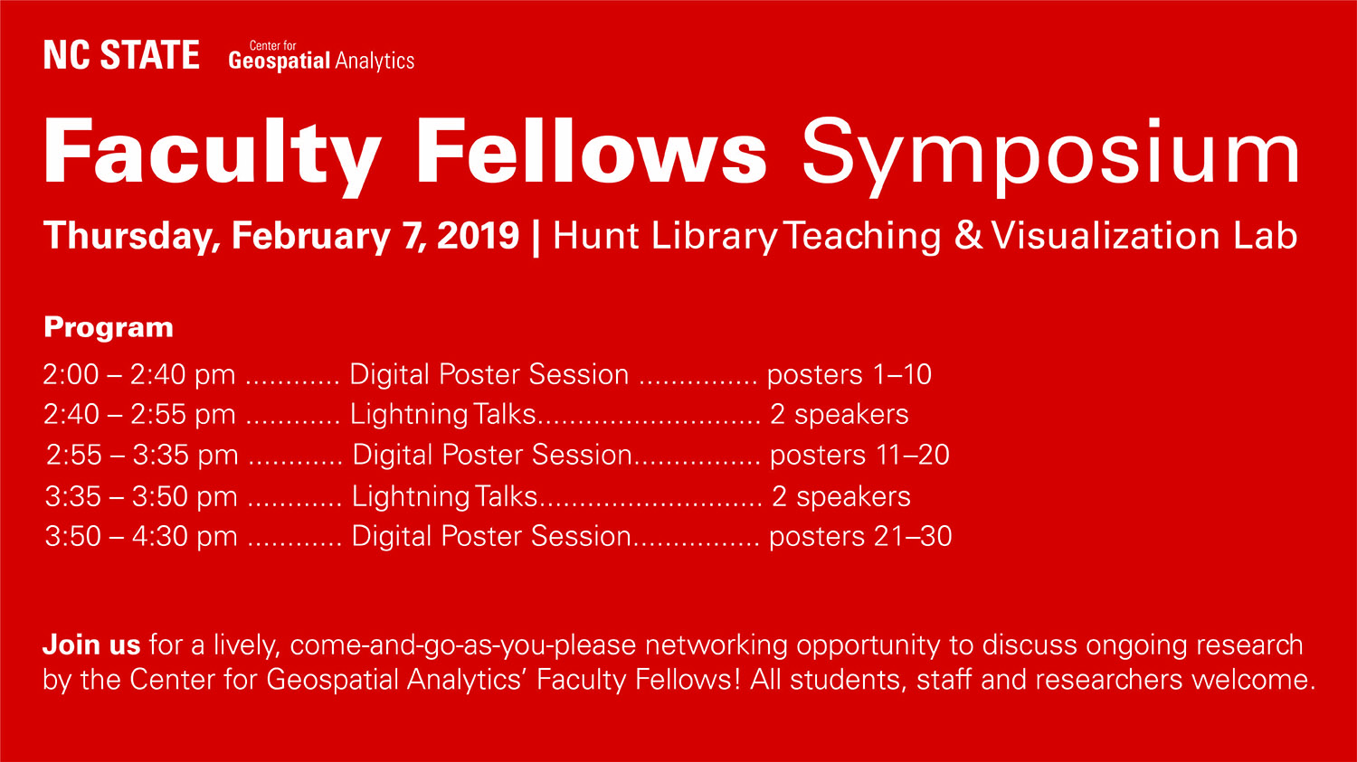
Faculty Fellows Symposium

Hunt Library Teaching & Visualization Lab 1070 Partners Way, Raleigh, NC, United States

The Center for Geospatial Analytics will host its first annual Faculty Fellows Symposium on February 7th, 2019! This networking event will feature our Faculty Fellows' latest research and is designed to spark new collaborations among our fellows, current and prospective students and other researchers. All interested faculty, staff and students at NC State are welcome…

Geospatial Forum with Camilla Mahon

Jordan Hall 5103 2800 Faucette Drive, Raleigh, NC, United States

In this forum, Camilla Mahon with Mapbox will discuss the evolving landscape of hardware and software tooling in the remote sensing industry with emphasis on common open source software solutions for wrangling pixels, the implications of cloud computing and importance of scale, the variety of satellites, planes, and UAVs being used for data collection, and…

Geospatial Forum with Dr. Gustavo Machado

Jordan Hall 5103 2800 Faucette Drive, Raleigh, NC, United States

A first important step towards better usability of available disease surveillance databases in developing countries, such as Brazil, is developing easier to interpret risk-based priority indices using small area scale health data. Additionally, there is a need to reclassify and downscale multi-resolution state-level geospatial data to better serve policymakers at the municipality level.  This Forum…

Geospatial Forum with CGA Doctoral Students

Jordan Hall 5103 2800 Faucette Drive, Raleigh, NC, United States

3:30pm – Kellyn Montgomery – 3D Models of Crop Canopy Structure for Precision Agriculture 3:40pm – Umesh Gupta – Parsing the Earth with Deep Learning 3:50pm – Devon Gaydos – The Social Side of Forest Disease Modeling  4:00pm – Jason Matney – Geospatial Data Management Recommendations for Land Managers 3D Models of Crop Canopy Structure…