Mirela Tulbure
MT

Professor
Mapping a Dynamic Planet, Surface Water and Connectivity
Forestry and Environmental Resources
5227 Jordan Addition
919-515-5256 mtulbure@ncsu.edu WebsiteBio
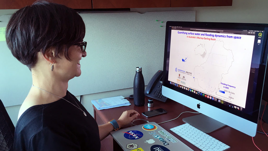
Mirela uses geospatial analytics to quantify and improve understanding of surface water extent, vegetation and landscape connectivity dynamics in water stressed regions.
Publications
- Upper Chattahoochee Surface Water: Planet Basemap , Zenodo (CERN European Organization for Nuclear Research) (2026)
- Upper Chattahoochee Surface Water: Planet Basemap , Zenodo (CERN European Organization for Nuclear Research) (2026)
- Assessing the cumulative impact of on-farm reservoirs on modeled surface hydrology , Hydrology and earth system sciences (2025)
- Advancing food security: Rice yield estimation framework using time-series satellite data & machine learning , PLOS ONE (2024)
- Creating spatially complete zoning maps using machine learning , Computers Environment and Urban Systems (2024)
- Projecting Surface Water Area Under Different Climate and Development Scenarios , Earth s Future (2024)
- Taking it further: Leveraging pseudo-labels for field delineation across label-scarce smallholder regions , International Journal of Applied Earth Observation and Geoinformation (2024)
- Automated in-season rice crop mapping using Sentinel time-series data and Google Earth Engine: A case study in climate-risk prone Bangladesh , Journal of Environmental Management (2023)
- Can we detect more ephemeral floods with higher density harmonized Landsat Sentinel 2 data compared to Landsat 8 alone? , ISPRS Journal of Photogrammetry and Remote Sensing (2022)
- Effects of Climate and Anthropogenic Drivers on Surface Water Area in the Southeastern United States , Water Resources Research (2022)