Megan Skrip
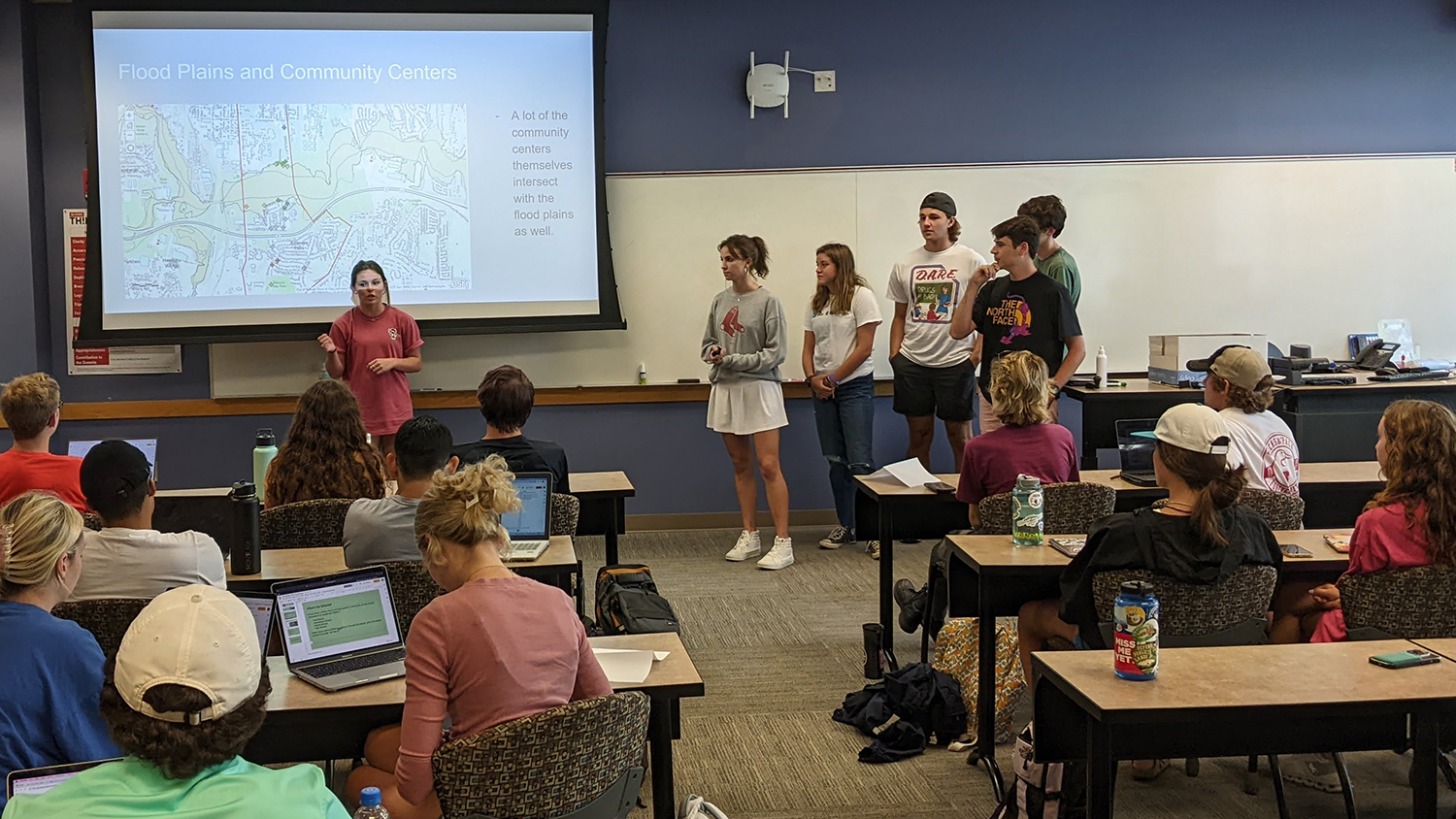
First-Year Students Learn the Value of GIS for Environmental Justice
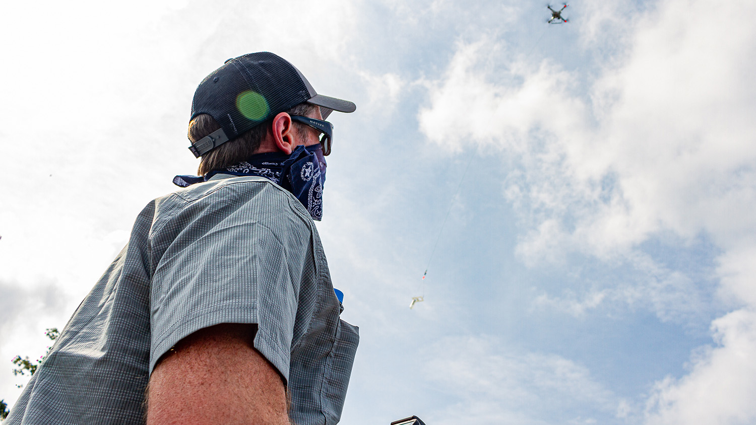
Taking Research with Drones to New Heights
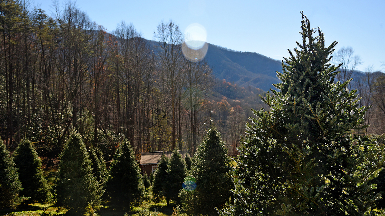
UAVs and Christmas Trees: New Research to Help NC Growers Benefit From Drone Technology
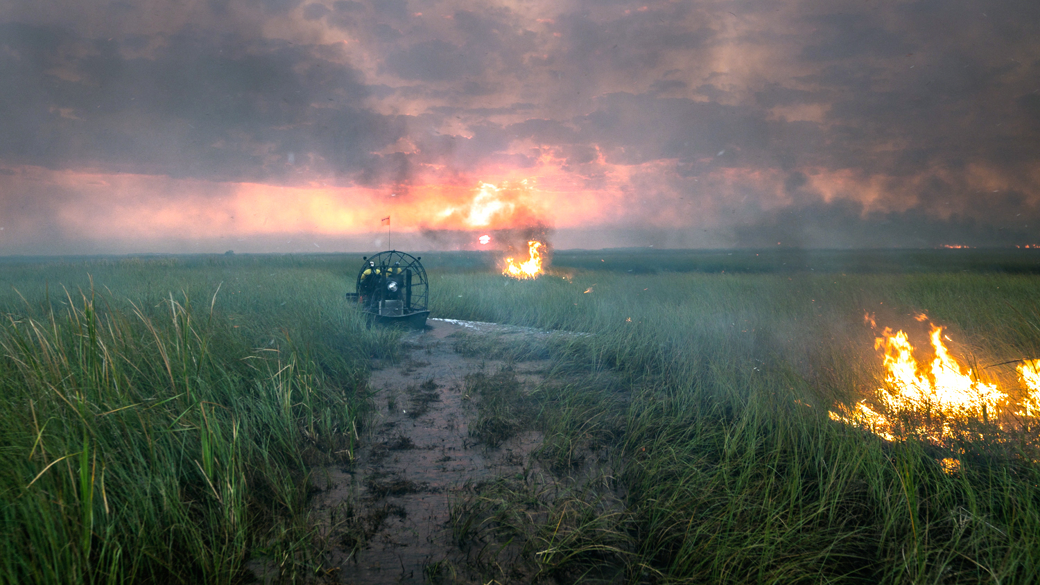
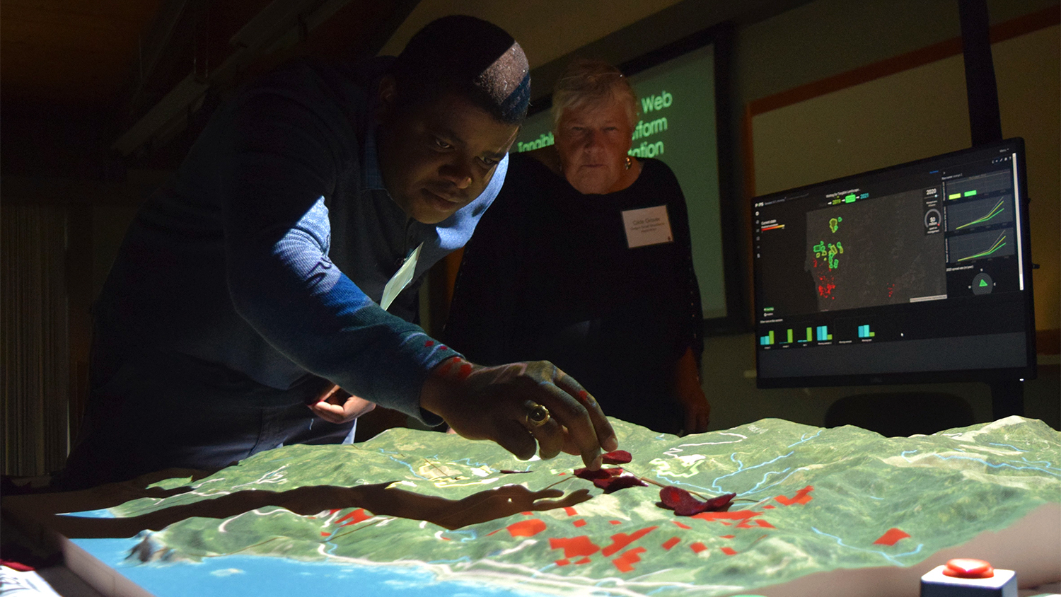
Custom Geospatial Tool Helps National Park Service Better Predict Fire Risk on Florida’s River of Grass