Unmanned Aerial Systems
At the Center for Geospatial Analytics, we innovate the use of drones and drone-acquired data to address challenges in a variety of sectors, uniting expertise across disciplines.

Our Center is an active hub for:
- Research using UAS data for terrain analysis
- Education about UAS operations and analytics through courses and workshops
- Technical support for UAS mission planning, imagery processing and analytics
We are also building a campus-wide community of practitioners, scholars and educators from across NC State University to share knowledge about and from UAS.
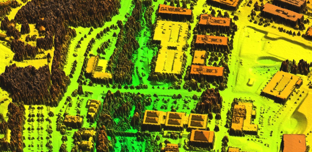
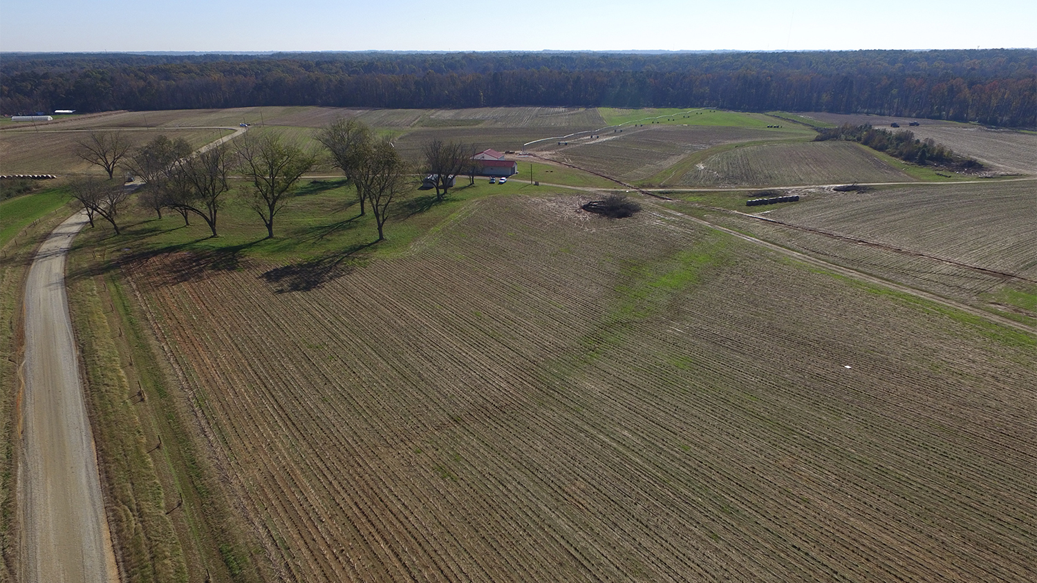
UAS Research
Data collection methods using Unmanned Aerial Systems are rapidly expanding possibilities for terrain analysis. We develop and apply the latest techniques to improve spatial understanding.
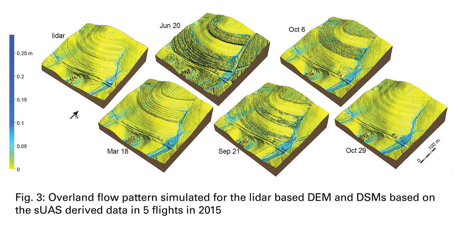
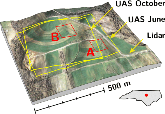
Developing Rapid 3-D GIS Updates with UAS
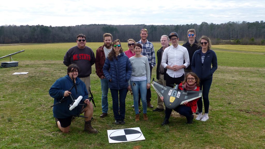
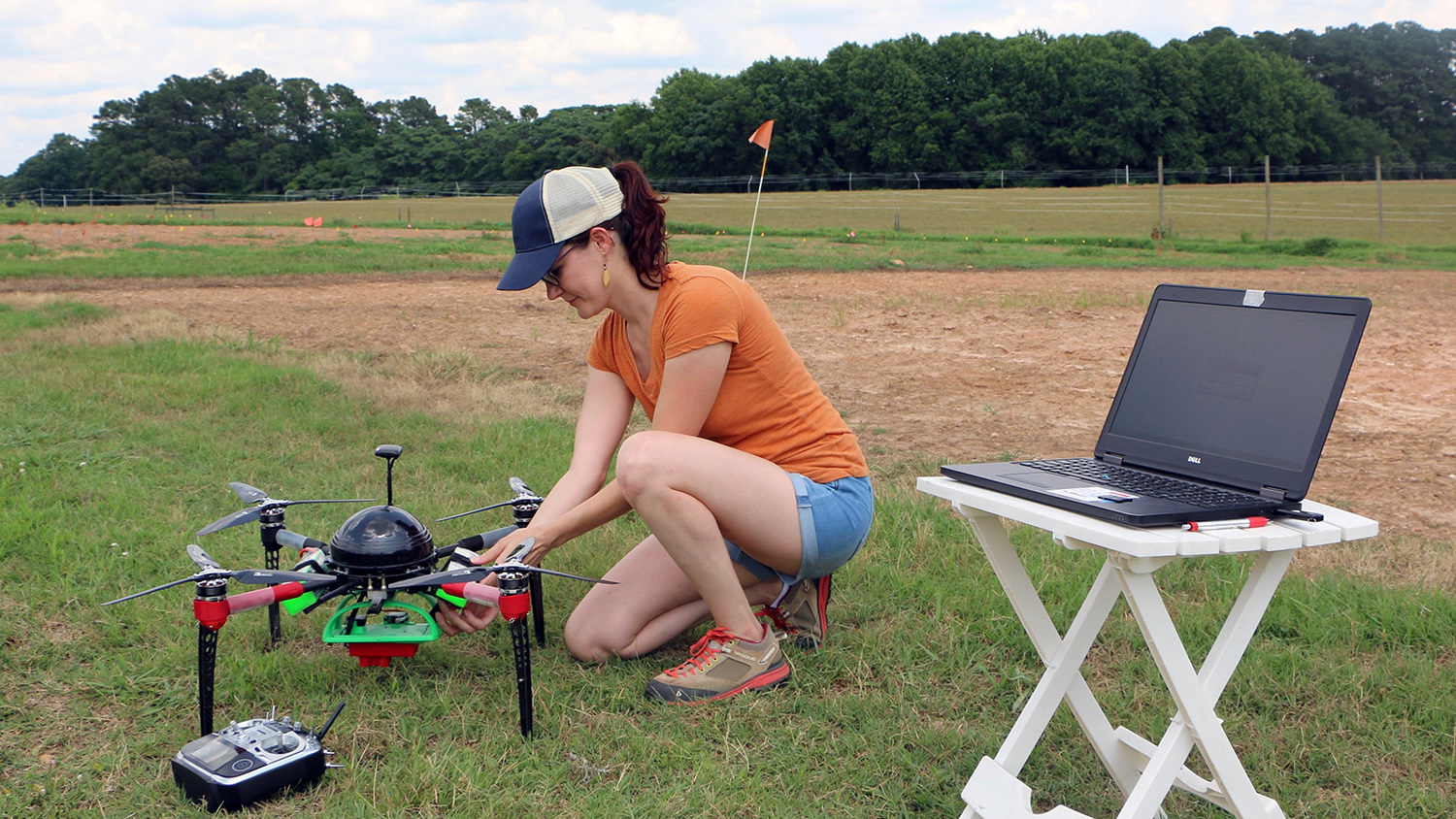
UAS Education
Unmanned Aerial Systems are revolutionizing data collection in the geospatial sciences. We keep students and professionals at the cutting edge of emerging technology and analysis.
For Enrolled Students
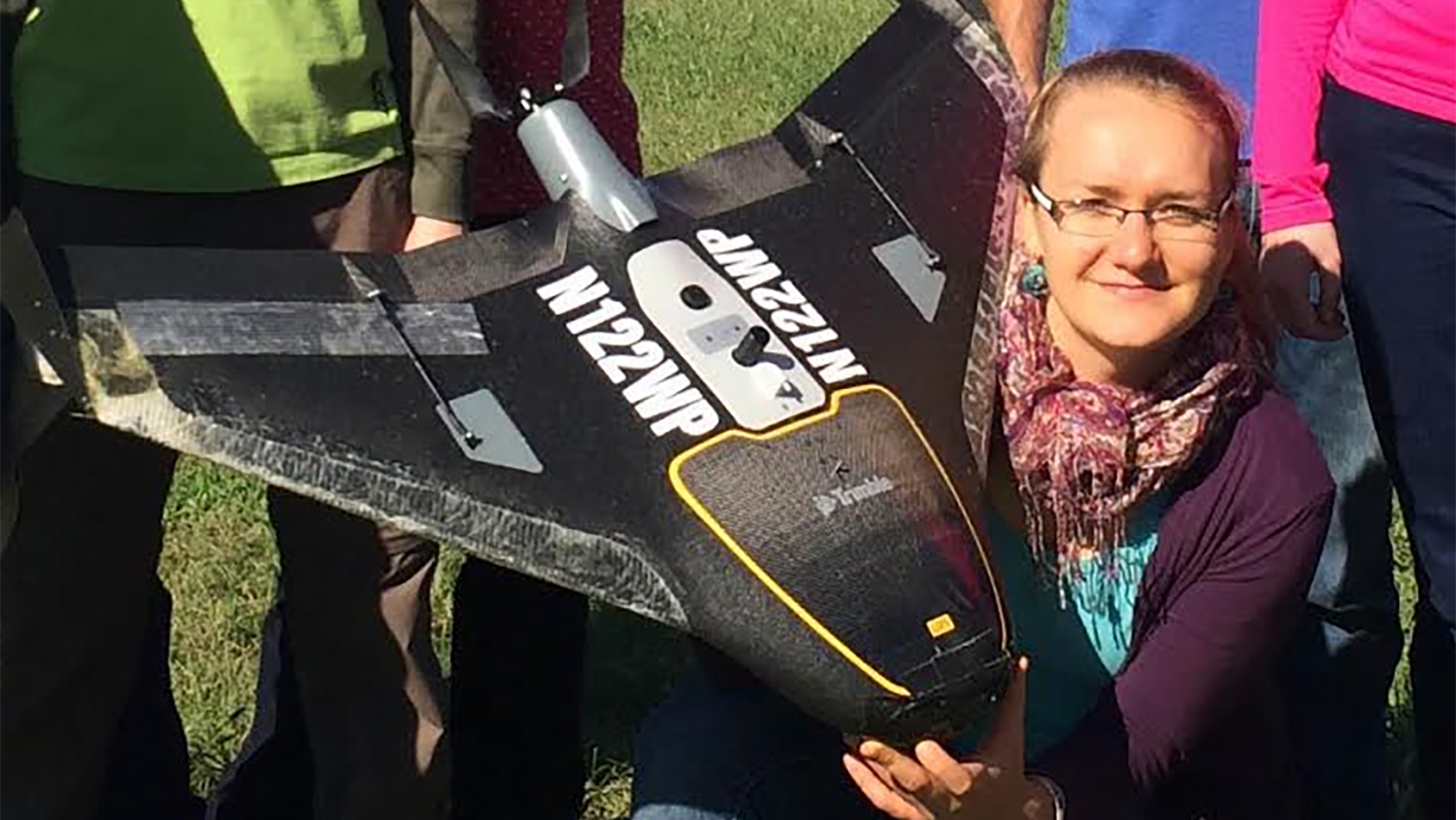
Already a graduate student at NC State? Enroll in the special topics course “UAS Mapping for 3D Modeling,” co-taught by the center’s associate director of geovisualization Helena Mitasova (professor in the Department of Marine, Earth and Atmospheric Sciences) and research associate Justyna Jeziorska. Learn how to collect data with UAS, process 3-D point clouds, and create terrain models. Understand how to visualize time series data from UAV-based lidar and experience hands-on training in the field and lab. Each student conducts an independent project, innovating a new solution to a research problem in their field of study.
UAS news
More
Keeping Track of Rare Mountaintop Plants with Drones
Taking Research with Drones to New Heights
Student Travel: Delving into Precision Agriculture at AGU
Taking Flight with Drone Research
For Drone Research and Training at NC State, the Sky’s the Limit