- This event has passed.
Geospatial Analytics Dissertation Defense: Raja Das
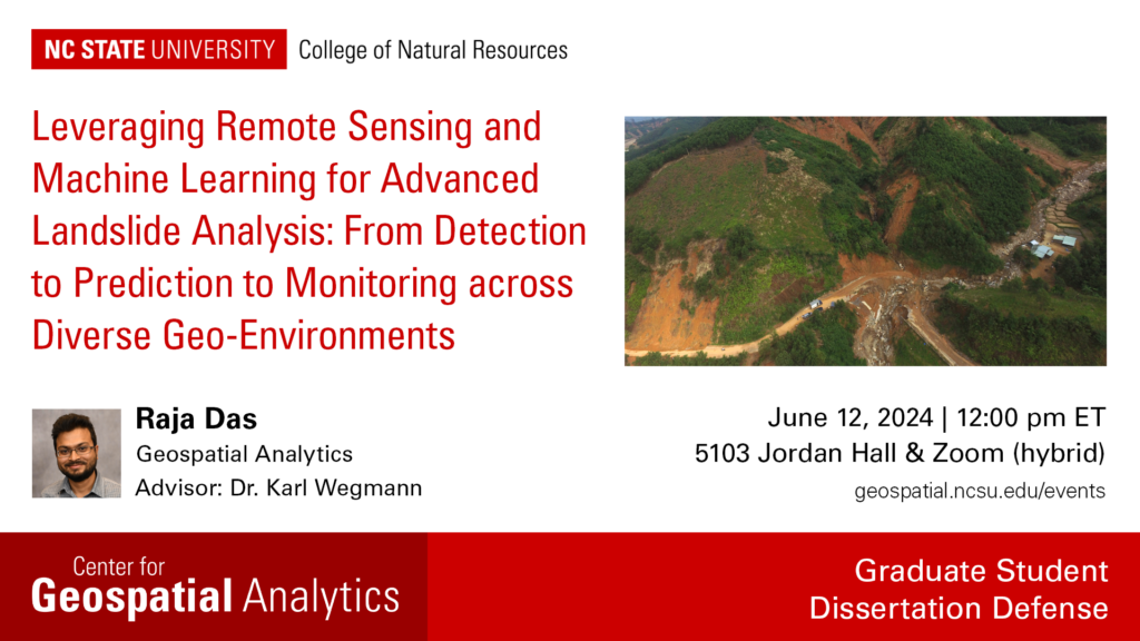
Defense Presentation Title: Leveraging Remote Sensing and Machine Learning for Advanced Landslide Analysis: From Detection to Prediction to Monitoring across Diverse Geo-Environments
Advisor: Dr. Karl Wegmann, faculty fellow and associate professor in the Department of Marine, Earth and Atmospheric Sciences
Abstract: Every year, landslides claim thousands of lives worldwide, posing a persistent threat to communities. Throughout history, civilizations have struggled to comprehend, forecast and mitigate the impacts of these natural disasters. Recent advancements in remote sensing, geographic information systems (GIS), and machine learning (ML) algorithms have revolutionized our ability to map, analyze and forecast landslide hazards and associated risks. Remote sensing platforms such as synthetic aperture radar (SAR), optical sensors and LiDAR (light detection and ranging) now allow us to observe and gather high-resolution data of Earth’s surface from space, even at a sub-meter level. My research integrates these geospatial tools and techniques to map, characterize and understand landslide processes, and to predict landslides in terms of space, time and size in different parts of the world. The outcome of the research ultimately aids stakeholders and decision-makers in effective disaster prediction and mitigation.