- This event has passed.
Geospatial Analytics Dissertation Defense: Vaclav Petras
Dissertation Title: Geospatial Analytics for Point Clouds in an Open Science Framework
Advisor: Dr. Helena Mitasova, Associate Director of Geovisualization, Center for Geospatial Analytics; Professor, Department of Marine, Earth and Atmospheric Sciences
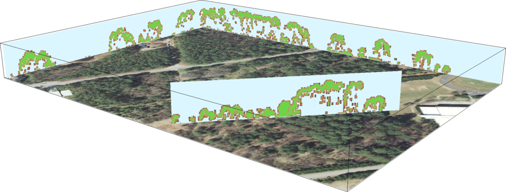
Abstract: Point clouds acquired by LiDAR (Light Detection and Ranging) or created from UAS (Unmanned Aerial Systems) imagery have transformed how the Earth’s surface and vegetation structure are mapped and analyzed. These point clouds have such high numbers of points that they are often considered “big data” depending on one’s field, software and hardware resources. As part of my dissertation, I developed several methods to efficiently analyze data-rich point clouds for creating digital terrain models and characterizing vegetation structure. I also created a method to describe complex migration of landforms using time-series data, quantifying the magnitude and direction of landform change. To ensure that these methods and algorithms, and others in the geospatial field, are widely available to people who need them, I also proposed a methodology consisting of concrete, specific steps for information sharing; in my case, taking advantage of the open source geospatial software GRASS GIS. With this methodology, tools and methods created as part of professional research can be used not only by other scientists but also by non-academic professionals in the geospatial field.

