Geospatial Analytics
Everything is Spatial and Location Matters
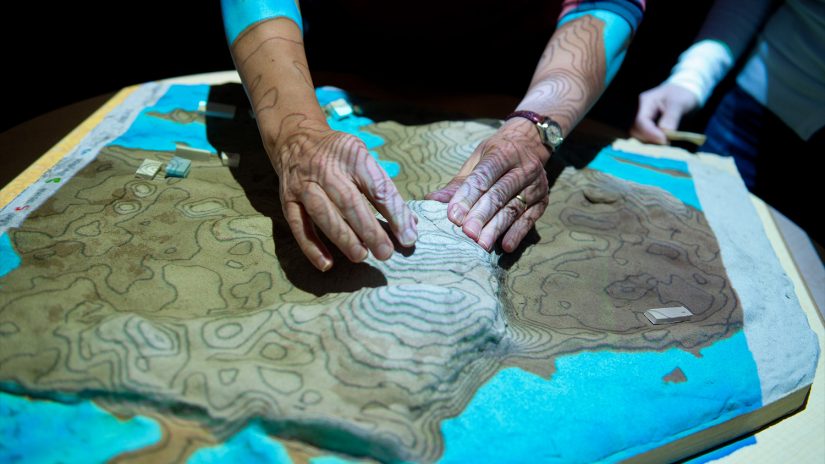
NC State’s Center for Geospatial Analytics is the foremost research center of its kind in the nation. Forestry and Environmental Resources faculty in the Center work alongside top researchers, policy experts and leaders in industry to apply geospatial analytics to a host of problems. Their work serves a common purpose: advancing innovative solutions to grand environmental and social challenges, and many of their tools and applications are open-source, free and adaptable for others to use.
Research and teaching in spatial modeling, measurement, visualization and remote sensing are critical in preparing students for professional success, serving the forest industry, and forging new scientific understanding of forests and environmental resources. Technological advances such as the proliferation of Earth observing satellites, phone-based location services and UAS technology, and a growing recognition of the importance of spatial relationships like epidemiology have made geospatial analytics more important than ever.
The teaching and practice of geospatial analytics continues to evolve to meet the growing demand for this essential science in everyday professions. As an enduring core strength in the Department of Forestry and Environmental Resources, geospatial analytics continues to specialize in research areas related to spatial modeling, geovisualization, statistics and remote sensing.
Forestry and Environmental Resources Research Features
Meet Our Experts
At the College of Natural Resources, our faculty are at the forefront of education and research in the field of geospatial analytics.
- Josh Gray, Assistant Professor
- Roland Kays, Research Professor
- Katherine Martin, Assistant Professor
- Ross Meentemeyer, Professor
- Stacy Nelson, Professor
- Krishna Pacifici, Associate Professor
- Robert Scheller, Professor